Vine Maple Trail
- 0.8 mi
- round trip
- 232 ft
- climb
- 195 ft
- high point
- Out and back
- route
- Jun–Sep
- best months
Vine Maple Trail is a short, easy out-and-back walk in Tualatin Hills Nature Park, on regional agency land in Oregon. The trail is just under a mile long, and it rises only 21 feet from its low point at 168 feet to a high of 195 feet. The steepest stretch comes at about 0.35 miles into the route, with a grade of 5 percent, but the climb is gentle enough to make this a quick stop or a link to other trails in the park. The most comfortable months for a visit are late spring and early fall. Typical averages from a nearby weather station show May highs around 70°F and September highs near 76°F, while July and August average highs in the low 80s and bring the fewest wet days of the year. Ponderosa Loop lies just 0.2 miles away, and the Beaverton Wetlands Trail and Oak Trail are both about 0.3 miles off. Beaverton Creek, a canoeing spot, is roughly 1.2 miles away.
Local outfitters
- Basecamp Adventure Co.8 mi away
- Wildwood Adventures8 mi away
Not on Roamze yet. Their page has how to reach them.
- Ponderosa LoopHiking0.2 mi
- Beaverton Wetlands TrailHiking0.3 mi
- Oak TrailHiking0.3 mi
- Hollister TrailHiking0.6 mi
- Beaverton CreekCanoeing1.2 mi
- Rock CreekCanoeing4.9 mi
 Fanno CreekCanoeingPhoto: Finetooth, CC BY-SA 3.0 (via Wikimedia Commons)5 mi
- McFee CreekCanoeing9.6 mi
Source: Roamze catalog (indexable pages within 10 miles, PostGIS distance)
 Little Prairie LoopHiking · ~6 min drivePhoto: mjfmjfmjf, CC BY 2.0 (via Flickr)
 Maple TrailHiking · ~9 min drivePhoto: Jon Roberts from Austin TX, USA, CC BY-SA 2.0 (via Wikimedia Commons)
 Cooper Mountain LoopHiking · ~7 min drivePhoto: mjfmjfmjf, CC BY 2.0 (via Flickr)
- Fanno Creek TrailHiking · ~7 min drive
 South Loop TrailHiking · ~7 min drivePhoto: M.O. Stevens, CC BY-SA 3.0 (via Wikimedia Commons)
 Alder Ridge TrailHiking · ~8 min drivePhoto: Drew Stefani, CC BY-SA 2.0 (via Flickr)
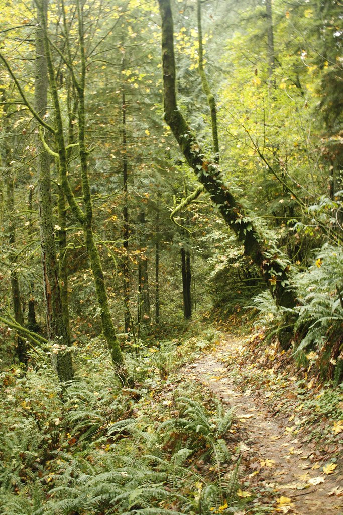 Skyline TrailHiking · ~8 min drivePhoto: Evan-Lovely, CC BY-SA 2.0 (via Flickr)
 North Collins TrailHiking · ~9 min drivePhoto: mjfmjfmjf, CC BY 2.0 (via Flickr)
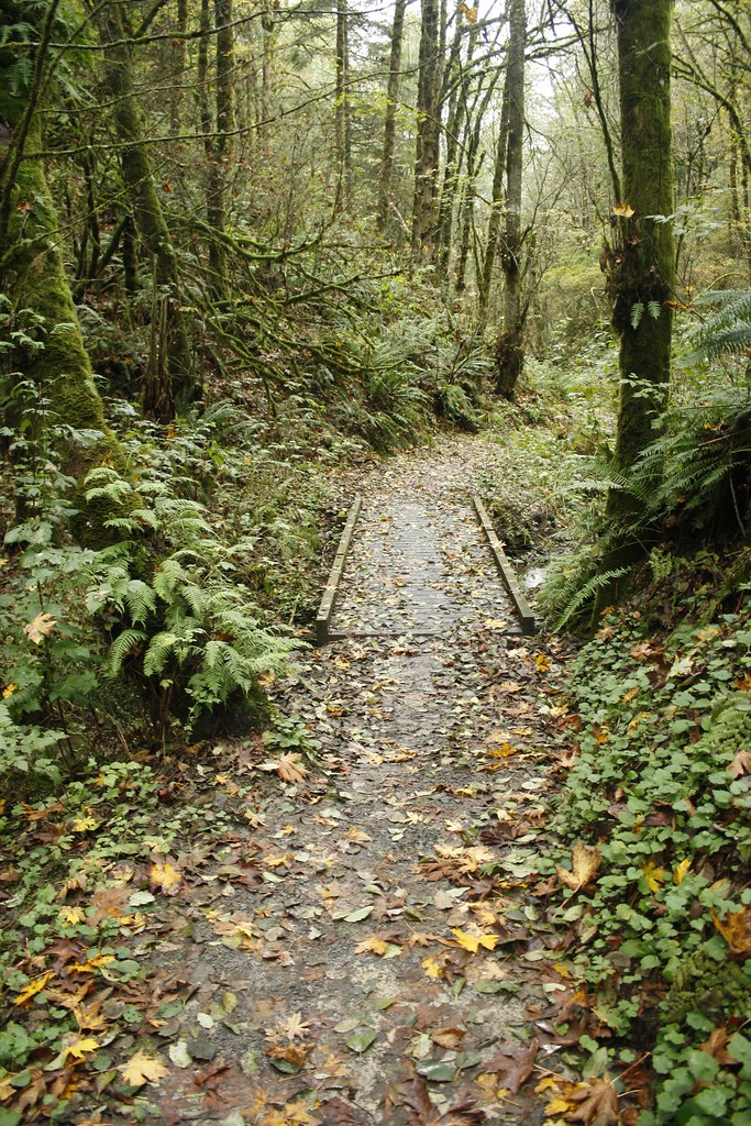 Chestnut TrailHiking · ~9 min drivePhoto: Evan-Lovely, CC BY-SA 2.0 (via Flickr)
 Westside TrailHiking · ~9 min drivePhoto: coneybeare, CC BY 2.0 (via Flickr)
Best time to visit Vine Maple Trail
Best months: June–September. Best months have typical highs of 55–85 °F, lows of 30 °F or warmer (32 °F where the station doesn't record snow), at most one snowy day and no more than 12 wet days.
Jan
50° / 40°
20 wet
Feb
54° / 40°
17 wet
Mar
58° / 42°
19 wet
Apr
63° / 45°
17 wet
May
70° / 50°
14 wet
Jun
73° / 53°
10 wet
Jul
81° / 56°
4 wet
Aug
82° / 57°
4 wet
Sep
76° / 52°
9 wet
Oct
65° / 47°
17 wet
Nov
55° / 43°
19 wet
Dec
49° / 40°
19 wet
Typical high / low (°F) and days with rain or snow, 1991–2020. Measured at Nature Park-Beaverton, OR, 0 mi away at 185 ft. This station doesn't record snowfall. Source: NOAA NCEI U.S. Climate Normals 1991–2020.

Map and trail data © OpenStreetMap contributors
