Ponderosa Loop
- 0.6 mi
- loop
- 213 ft
- climb
- 257 ft
- high point
- Loop
- route
- Jun–Sep
- best months
Ponderosa Loop is a short, easy hike of about 0.6 miles in Tualatin Hills Nature Park, on regional agency land in Oregon. The trail rises about 213 feet from a low point of 177 feet to a high of 257 feet, with the steepest stretch at about 0.12 miles in, where the grade reaches 8 percent. Summer is the most comfortable time to go. Typical averages from a nearby weather station show July and August highs around 81 to 82°F with only about four wet days a month, while winter months bring highs near 50°F and rain on roughly 17 to 20 days. Several other trails sit close by. Vine Maple Trail is about 0.2 miles away, Beaverton Wetlands Trail about 0.3 miles, and Oak Trail about 0.4 miles. Beaverton Creek, a canoeing route, is about 1.1 miles off.
Local outfitters
- Basecamp Adventure Co.8 mi away
- Wildwood Adventures8 mi away
Not on Roamze yet. Their page has how to reach them.
Best time to go · Jun–Sep
Best time to visit Ponderosa Loop
Best months: June–September. Best months have typical highs of 55–85 °F, lows of 30 °F or warmer (32 °F where the station doesn't record snow), at most one snowy day and no more than 12 wet days.
Jan
50° / 40°
20 wet
Feb
54° / 40°
17 wet
Mar
58° / 42°
19 wet
Apr
63° / 45°
17 wet
May
70° / 50°
14 wet
Jun
73° / 53°
10 wet
Jul
81° / 56°
4 wet
Aug
82° / 57°
4 wet
Sep
76° / 52°
9 wet
Oct
65° / 47°
17 wet
Nov
55° / 43°
19 wet
Dec
49° / 40°
19 wet
Typical high / low (°F) and days with rain or snow, 1991–2020. Measured at Nature Park-Beaverton, OR, 0.2 mi away at 185 ft. This station doesn't record snowfall. Source: NOAA NCEI U.S. Climate Normals 1991–2020.
Keep exploring — more trails worth the drive
 Photo: mjfmjfmjf, CC BY 2.0 (via Flickr)
Little Prairie Loop
~6 min drive
0.57-mile loop in Oregon with 151 ft elevation gain and loss.
 Photo: Jon Roberts from Austin TX, USA, CC BY-SA 2.0 (via Wikimedia Commons)
Maple Trail
~10 min drive
A 3.39-mile out-and-back forest walk through Oregon's maple woodlands.
 Photo: mjfmjfmjf, CC BY 2.0 (via Flickr)
Cooper Mountain Loop
~6 min drive
1.0-mile out-and-back trail in Oregon with 247 ft elevation gain
HIKE
Fanno Creek Trail
~7 min drive
Easy out-and-back creek walk through riparian forest near Hillsboro.
 Photo: M.O. Stevens, CC BY-SA 3.0 (via Wikimedia Commons)
South Loop Trail
~7 min drive
0.41-mile loop trail in Oregon with 78 ft elevation gain.
 Photo: Drew Stefani, CC BY-SA 2.0 (via Flickr)
Alder Ridge Trail
~8 min drive
1.04-mile out-and-back trail in Oregon with 297 ft elevation gain and loss.
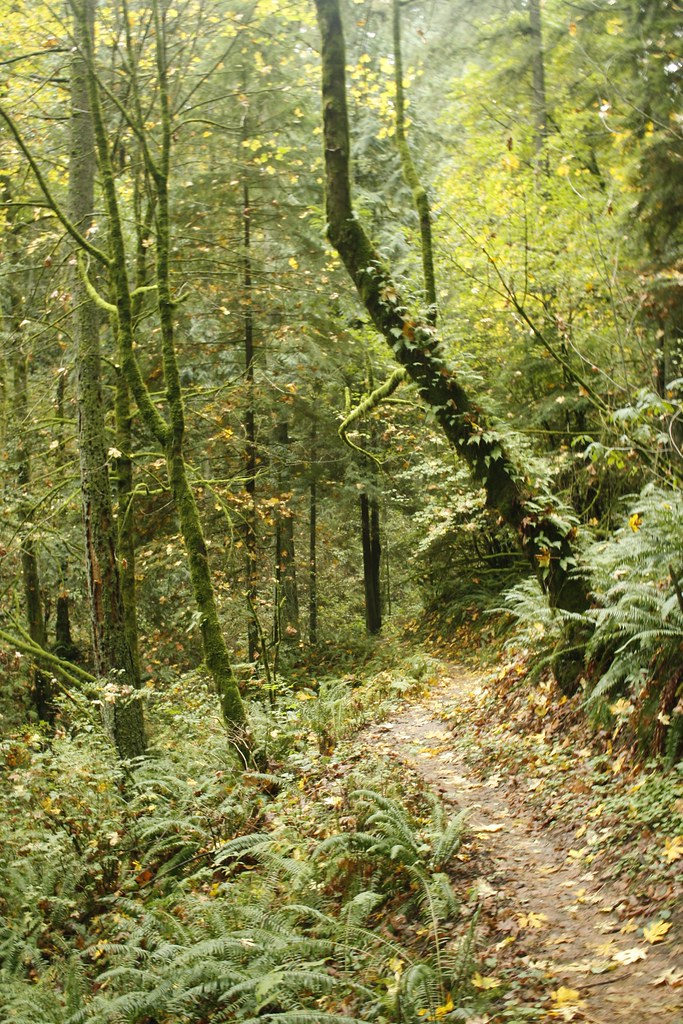 Photo: Evan-Lovely, CC BY-SA 2.0 (via Flickr)
Skyline Trail
~9 min drive
1.44-mile out-and-back trail in Oregon with 568 ft elevation gain
 Photo: coneybeare, CC BY 2.0 (via Flickr)
Westside Trail
~9 min drive
0.62-mile out-and-back trail in Oregon with 64 ft of elevation gain.
 Photo: mjfmjfmjf, CC BY 2.0 (via Flickr)
North Collins Trail
~10 min drive
0.54-mile out-and-back hike on North Collins Trail in Oregon.
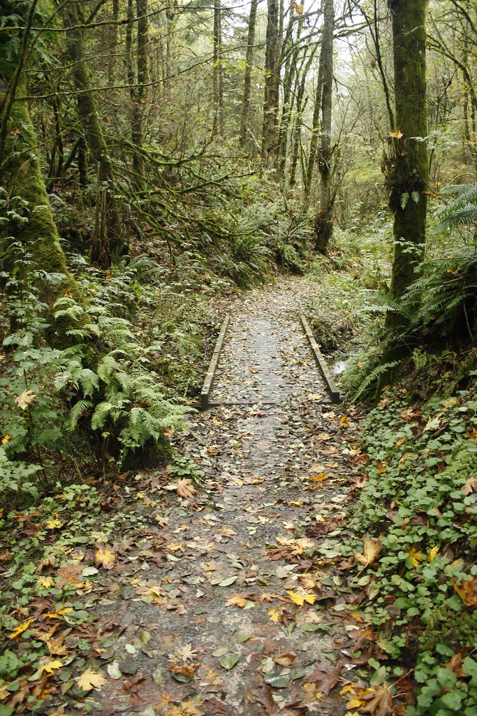 Photo: Evan-Lovely, CC BY-SA 2.0 (via Flickr)
Chestnut Trail
~10 min drive
0.49-mile out-and-back trail in Oregon with 146 ft gain.


Map and trail data © OpenStreetMap contributors
