Unnamed BLM Trail
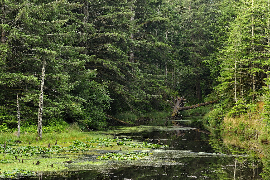
 Photo: Bureau of Land Management, Public domain (via Wikimedia Commons)
- 0.5 mi
- round trip
- 258 ft
- climb
- 45 ft
- high point
- Out and back
- route
- May–Oct
- best months
This short, easy hike on Bureau of Land Management land in Oregon's Coos Bay Myrtlewood Field Office covers about half a mile, with a low point of 16 feet and a high of 45 feet. The route is an out-and-back, and the climb is gentle, with a total elevation gain of 20 feet. The steepest stretch comes early, at about 0.1 mile in, with a grade of 7 percent. Summer is the most comfortable time to go. Typical averages from a nearby weather station at Langlois show July and August highs around 70°F with only about three wet days a month, while winter months bring highs in the mid-50s and rain on 20 or more days. The Ridge Trail starts just 0.1 mile away, and the New River Trails are about 1.9 miles off. Paddlers can head to Fourmile Creek, about 3.7 miles away, or Twomile Creek, about 4.3 miles away.
Local outfitters
- Bay Point Landing27 mi away
- Remote Outpost RV Park29 mi away
Not on Roamze yet. Their page has how to reach them.
- Ridge TrailHikingPhoto: Bureau of Land Management, Public domain (via Wikimedia Commons)0.1 mi
 New River TrailsHikingPhoto: BLM Oregon & Washington, CC BY 2.0 (via Flickr)1.9 mi
- Fourmile CreekCanoeing3.7 mi
- Twomile CreekCanoeing4.3 mi
- North Fork Floras CreekCanoeing7.6 mi
 Floras Lake TrailHikingPhoto: BLM Oregon & Washington, CC BY 2.0 (via Flickr)7.9 mi
- Bear CreekCanoeing8.5 mi
Source: Roamze catalog (indexable pages within 10 miles, PostGIS distance)
- New River TrailsHiking · ~3 min drivePhoto: BLM Oregon & Washington, CC BY 2.0 (via Flickr)
- Floras Lake TrailHiking · ~13 min drivePhoto: BLM Oregon & Washington, CC BY 2.0 (via Flickr)
 Humbug Mountain Trail (West)Hiking · ~37 min drivePhoto: AB87, CC BY 3.0 (via Wikimedia Commons)
- Rogue River National Recreation TrailHiking · ~57 min drive
 Devils BackboneHiking · ~57 min drivePhoto: james shaw, CC BY-SA 3.0 (via Wikimedia Commons)
 Coquille River WalkHiking · ~31 min drivePhoto: Don Henise, CC BY 2.0 (via Flickr)
 Mt. BolivarHiking · ~59 min drivePhoto: Don Henise — CC BY 2.0 (via Flickr)
- Wild Rogue LoopHiking · ~52 min drive
- Barklow MountainHiking · ~38 min drive
 Elk Creek FallsHiking · ~44 min drivePhoto: Don Henise, CC BY 2.0 (via Flickr)
Best time to visit Unnamed BLM Trail
Best months: May–October. Best months have typical highs of 55–85 °F, lows of 30 °F or warmer (32 °F where the station doesn't record snow), at most one snowy day and no more than 12 wet days.
Jan
55° / 40°
20 wet
Feb
55° / 39°
18 wet
Mar
56° / 40°
20 wet
Apr
58° / 42°
17 wet
May
62° / 46°
12 wet
Jun
65° / 49°
7 wet
Jul
69° / 52°
3 wet
Aug
70° / 52°
3 wet
Sep
69° / 49°
6 wet
Oct
65° / 45°
12 wet
Nov
58° / 42°
18 wet
Dec
54° / 39°
21 wet
Typical high / low (°F) and days with rain or snow, 1991–2020. Measured at Langlois #2, OR, 5.2 mi away at 90 ft. Source: NOAA NCEI U.S. Climate Normals 1991–2020.
