Fourmile Creek
- 11.1 mi
- distance
- 917 ft
- high point
- May–Oct
- best months
Caution at last check
Weather is marginal · OpenWeather · checked 16 h ago
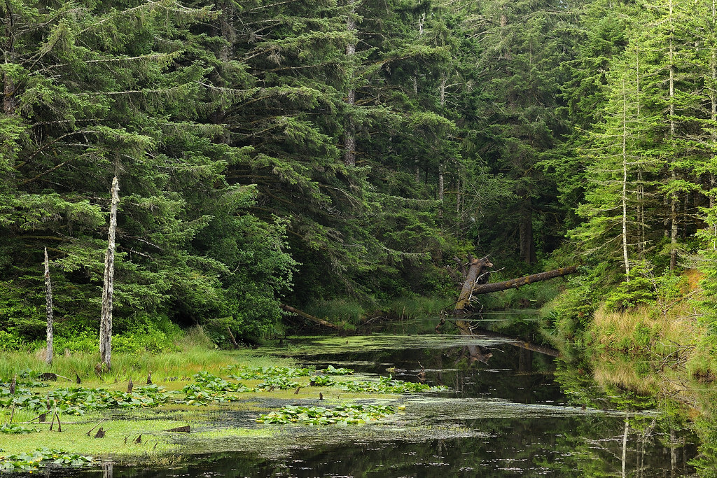
Fourmile Creek is a 11-mile paddling stretch near Bandon, Oregon, about 2 miles from the small community of Fourmile. The creek flows year-round, and USGS models an average flow of about 65 cubic feet per second with a gradient of about 82.7 feet per mile. Summer is the most comfortable time to paddle. Typical averages from a nearby weather station show July and August highs around 70°F with only about three wet days a month, while winter months bring highs in the mid-50s and rain on most days. Twomile Creek, about 3 miles away, offers another paddling option. New River Trails and the Ridge Trail are both within about 4 miles for hiking. North Fork Floras Creek, roughly 4.4 miles off, is another nearby paddling route.
Local outfitters
- Jerry's Rogue Jets40 mi away
Not on Roamze yet. Their page has how to reach them.
- Twomile CreekCanoeing3 mi
 New River TrailsHikingPhoto: BLM Oregon & Washington, CC BY 2.0 (via Flickr)3.2 mi
 Unnamed BLM TrailHikingPhoto: Bureau of Land Management, Public domain (via Wikimedia Commons)3.7 mi
- Ridge TrailHikingPhoto: Bureau of Land Management, Public domain (via Wikimedia Commons)3.7 mi
- North Fork Floras CreekCanoeing4.4 mi
- Bear CreekCanoeing6.3 mi
- East Fork Floras CreekCanoeing7.1 mi
 Floras Lake TrailHikingPhoto: BLM Oregon & Washington, CC BY 2.0 (via Flickr)9.7 mi
Source: Roamze catalog (indexable pages within 10 miles, PostGIS distance)
 Elk RiverCanoeing · ~36 min drivePhoto: United States Forest Service, Public domain (via Wikimedia Commons)
- New River Kayak AccessBoat launch · ~7 min drive
 South Fork Coquille RiverCanoeing · ~43 min drivePhoto: Headwes at English Wikipedia, CC BY-SA 3.0 (via Wikimedia Commons)
- New RiverBoat launch · ~7 min drive
 Sandy CreekCanoeing · ~45 min drivePhoto: Finetooth, CC BY-SA 4.0 (via Wikimedia Commons)
- Bradley Lake Boat RampBoat launch · ~9 min drive
 Sixes RiverCanoeing · ~23 min drivePhoto: Vertigo Acid at English Wikipedia, CC BY-SA 3.0 (via Wikimedia Commons)
- Boice Cope County ParkBoat launch · ~15 min drive
- Twomile CreekCanoeing · ~5 min drive
- Edson Boat RampBoat launch · ~22 min drive
Best time to visit Fourmile Creek
Best months: May–October. Best months have typical highs of 55–85 °F, lows of 30 °F or warmer (32 °F where the station doesn't record snow), at most one snowy day and no more than 12 wet days.
Jan
55° / 40°
20 wet
Feb
55° / 39°
18 wet
Mar
56° / 40°
20 wet
Apr
58° / 42°
17 wet
May
62° / 46°
12 wet
Jun
65° / 49°
7 wet
Jul
69° / 52°
3 wet
Aug
70° / 52°
3 wet
Sep
69° / 49°
6 wet
Oct
65° / 45°
12 wet
Nov
58° / 42°
18 wet
Dec
54° / 39°
21 wet
Typical high / low (°F) and days with rain or snow, 1991–2020. Measured at Langlois #2, OR, 6.3 mi away at 90 ft. The station sits about 800 ft lower than this place, so expect it a little cooler here. Source: NOAA NCEI U.S. Climate Normals 1991–2020.
