Tombstone Lake Trail
- 7.7 mi
- round trip
- 4,352 ft
- climb
- 8,158 ft
- high point
- Out and back
- route
Is Tombstone Lake Trail open right now?
Closure in the area
There's a closure order in Wallowa-Whitman National Forest. It doesn't name Tombstone Lake Trail, so check the source for the area it covers.
Anthony Fire Area Closure
Agency closure covering Wallowa-Whitman National Forest · USFS · Wallowa-Whitman National Forest
PHASE B FIRE RESTRICTIONS WALLOW-WHITMAN NATIONAL FOREST
Agency alert covering Wallowa-Whitman National Forest · Order 06-16-00-25-01 · USFS · Wallowa-Whitman National Forest
PHASE A FIRE RESTRICTIONS Wallowa-Whitman NATIONAL FOREST
Agency alert covering Wallowa-Whitman National Forest · Order 06-16-00-25-00 · USFS · Wallowa-Whitman National Forest
As of · Source: USFS · Wallowa-Whitman National Forest. Agencies don't list every closure — check before you go.
Tombstone Lake Trail is a 15.4-mile out-and-back hike in the Eagle Cap Wilderness, part of the Eagle Cap Ranger District of the Wallowa-Whitman National Forest in northeastern Oregon. The Forest Service manages the land, and the trail is rated expert, with a one-way climb of about 2,000 feet and a total round-trip gain of about 4,350 feet. The route starts at roughly 6,450 feet and climbs to about 8,160 feet at the high point, with the steepest stretch around 4.5 miles in at a grade of about 39%. That makes it a serious day for anyone heading into the high country of the Eagle Cap. Sand Pass Trail and Mule Peak Trail both lie within a mile of the route, and Elk Creek Trail is about 3 miles away. For an overnight base, Buck Creek Forest Camp is about 4 miles off.
Local outfitters
- Oregon Backcountry Outfitting19 mi away
- Cornucopia Lodge & Packstation26 mi away
Not on Roamze yet. Their page has how to reach them.
- Sand Pass TrailHiking0.7 mi
- Mule Peak TrailHiking1 mi
- Elk Creek TrailHiking2.9 mi
- Buck Creek Forest CampCamping3.8 mi
 Minam RiverCanoeingPhoto: Williamborg, CC BY-SA 3.0 (via Wikimedia Commons)4.3 mi
- South Fork Catherine CreekCanoeing5 mi
- No. Fork Catherine Group CampCamping6.1 mi
- North Fork Catherine CreekCanoeing6.2 mi
Source: Roamze catalog (indexable pages within 10 miles, PostGIS distance)
 Bench Canyon TrailHiking · ~9 min drivePhoto: U.S. Forest Service- Pacific Northwest Region, Public domain (via Wikimedia Commons)
 Long Lake TrailHiking · ~11 min drivePhoto: Forest Service Pacific Northwest Region, Public Domain Mark (via Flickr)
- Sand Pass TrailHiking · ~1 min drive
- Old Elk Creek TrailHiking · ~6 min drive
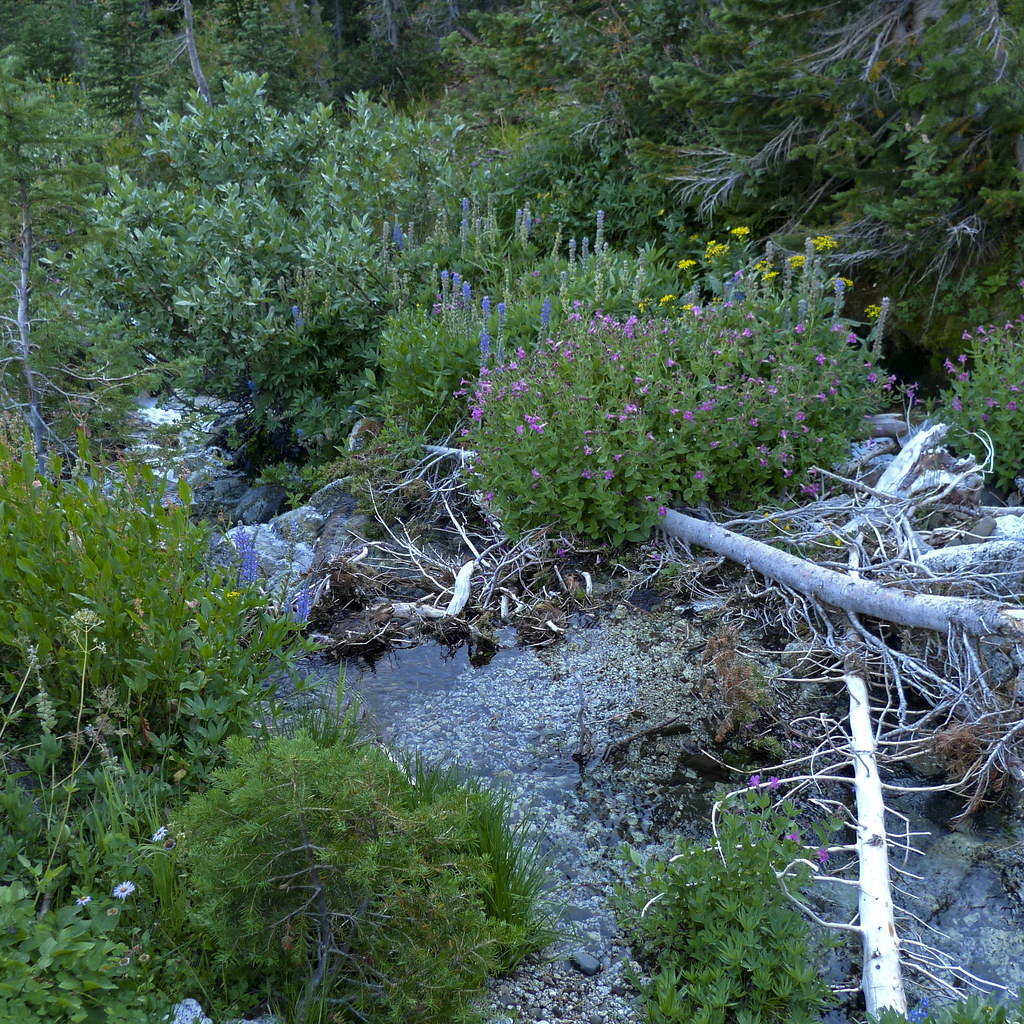 Frazier Pass TrailHiking · ~13 min drivePhoto: Flyover Hangover, CC BY-SA 2.0 (via Flickr)
 Eagle Lake TrailHiking · ~12 min drivePhoto: U.S. Forest Service- Pacific Northwest Region, Public domain (via Wikimedia Commons)
- Elk Creek TrailHiking · ~5 min drive
- West Eagle TrailHiking · ~8 min drive
 Minam Lake TrailHiking · ~15 min drivePhoto: David Dugan, CC BY-SA 3.0 (via Wikimedia Commons)
- Looking-Glass Lake TrailHiking · ~12 min drivePhoto: U.S. Forest Service- Pacific Northwest Region, Public domain (via Wikimedia Commons)

Map and trail data © OpenStreetMap contributors
