Terrible Trail
- 0.9 mi
- round trip
- 387 ft
- climb
- 3,963 ft
- high point
- Out and back
- route
- Apr–Jun, Sep–Oct
- best months
Terrible Trail is an easy hike in southeastern Oregon, about 3.7 miles from the community of Post. The route is a short, out-and-back walk of roughly 1.8 miles, with a low point of 3,676 feet and a high of 3,963 feet. The trail is rated easy, and the climb is front-loaded, reaching its steepest stretch of about 15% grade within the first third of the route before leveling out for the return. The climb totals about 390 feet one way, with the trail reaching its peak near the middle of the route. Summer is the most comfortable time to go. Typical averages from a nearby weather station show July highs around 89°F with lows near 50°F, while winter brings highs around 40°F and a few snowy days a month from November through February. The trip takes about an hour, and the Southeast Jack Rabbit Trail lies about 2.7 miles away. Within about 8 miles are Jasper Point Trail and Hammer Creek.
Local outfitters
- Oregon Adaptive Sports38 mi away
- Nighthawk Naturalist School38 mi away
Not on Roamze yet. Their page has how to reach them.
- Southeast Jack Rabbit TrailHiking2.7 mi
 Jasper Point TrailHikingPhoto: Erin from Oregon City, OR, CC BY 2.0 (via Wikimedia Commons)8 mi
- Hammer CreekHiking8.2 mi
Source: Roamze catalog (indexable pages within 10 miles, PostGIS distance)
- Jasper Point TrailHiking · ~14 min drivePhoto: Erin from Oregon City, OR, CC BY 2.0 (via Wikimedia Commons)
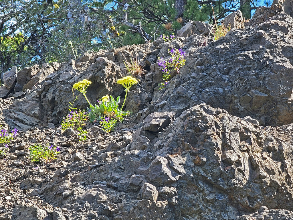 Lookout Mountain TrailHiking · ~29 min drivePhoto: AndreyZharkikh, CC BY 2.0 (via Flickr)
- Independent MineHiking · ~29 min drivePhoto: AndreyZharkikh, CC BY 2.0 (via Flickr)
- Green Mountain TrailHiking · ~33 min drive
 Steins PillarHiking · ~30 min drivePhoto: U.S. Forest Service- Pacific Northwest Region, Public domain (via Wikimedia Commons)
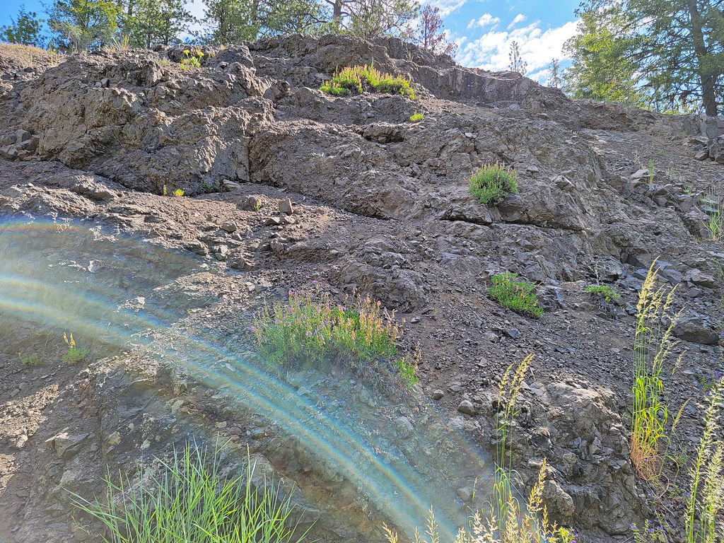 Mother Lode Mine Trail #808AHiking · ~29 min drivePhoto: AndreyZharkikh, CC BY 2.0 (via Flickr)
 Tumulus TrailHiking · ~40 min drivePhoto: Bureau of Land Management Oregon and Washington, Public domain (via Wikimedia Commons)
- Wildcat TrailHiking · ~36 min drive
- Southeast Jack Rabbit TrailHiking · ~5 min drive
- BaneberryHiking · ~29 min drivePhoto: AndreyZharkikh, CC BY 2.0 (via Flickr)
Best time to visit Terrible Trail
Best months: April–June and September–October. Best months have typical highs of 55–85 °F, lows of 30 °F or warmer (32 °F where the station doesn't record snow), at most one snowy day and no more than 12 wet days.
Jan
41° / 23°
11 wet · 4 snow
Feb
46° / 26°
9 wet · 3 snow
Mar
53° / 29°
10 wet · 2 snow
Apr
60° / 32°
10 wet · 1 snow
May
69° / 39°
9 wet
Jun
78° / 44°
6 wet
Jul
89° / 50°
4 wet
Aug
88° / 48°
3 wet
Sep
80° / 41°
4 wet
Oct
65° / 33°
6 wet
Nov
49° / 28°
10 wet · 2 snow
Dec
40° / 23°
11 wet · 5 snow
Typical high / low (°F) and days with rain or snow, 1991–2020. Measured at Barnes Stn, OR, 21.9 mi away at 3,970 ft. Source: NOAA NCEI U.S. Climate Normals 1991–2020.

Map and trail data © OpenStreetMap contributors
