Hammer Creek
- 18.6 mi
- loop
- 2,449 ft
- climb
- 5,948 ft
- high point
- Loop
- route
- May–Sep
- best months
Is Hammer Creek open right now?
Closure in the area
There's a closure order in Ochoco National Forest. It doesn't name Hammer Creek, so check the source for the area it covers.
Rowe Creek Complex Emergency Closure Order
Agency closure covering Ochoco National Forest · Order 06-07-26-04 · USFS · Ochoco National Forest
Blue-Green Algae Information
Agency alert covering Ochoco National Forest · USFS · Ochoco National Forest
Prescribed Fire information
Agency alert covering Ochoco National Forest · USFS · Ochoco National Forest
As of · Source: USFS · Ochoco National Forest. Agencies don't list every closure — check before you go.
Hammer Creek is a hard hike in the Lookout Mountain Ranger District of Ochoco National Forest in Oregon, about 8 miles from the town of Post. The trail is 18.6 miles long, with a total elevation gain of 2,449 feet, and it starts at about 5,847 feet, rising to a high point of 5,948 feet before descending to a low of 4,254 feet. The steepest stretch comes at about 6.8 miles in, where the grade reaches 32%. The route is on natural surface, and it is open to both horses and bikes. The Forest Service manages the land, and the trail is open year-round. Plan for about 7.5 hours on foot. Summer is the most comfortable time to go. Typical averages from a nearby weather station in Brothers, Oregon, run to highs around 82°F in July, with July and August lows in the mid-40s. That station sits roughly 1,300 feet below the trail, so temperatures on the route run cooler. Antelope Reservoir campground is about 4.6 miles away, and Double Cabin and Elkhorn campgrounds are each about 6.8 miles off. The Terrible Trail is about 8.2 miles away.
Local outfitters
- Wanderlust Tours43 mi away
- Nighthawk Naturalist School43 mi away
Not on Roamze yet. Their page has how to reach them.
- Antelope ReservoirCamping4.6 mi
- Double CabinCamping6.8 mi
- ElkhornCamping6.8 mi
- Wiley FlatCamping7.8 mi
- Terrible TrailHiking8.2 mi
- Southeast Jack Rabbit TrailHiking10 mi
Source: Roamze catalog (indexable pages within 10 miles, PostGIS distance)
 Jasper Point TrailHiking · ~25 min drivePhoto: Erin from Oregon City, OR, CC BY 2.0 (via Wikimedia Commons)
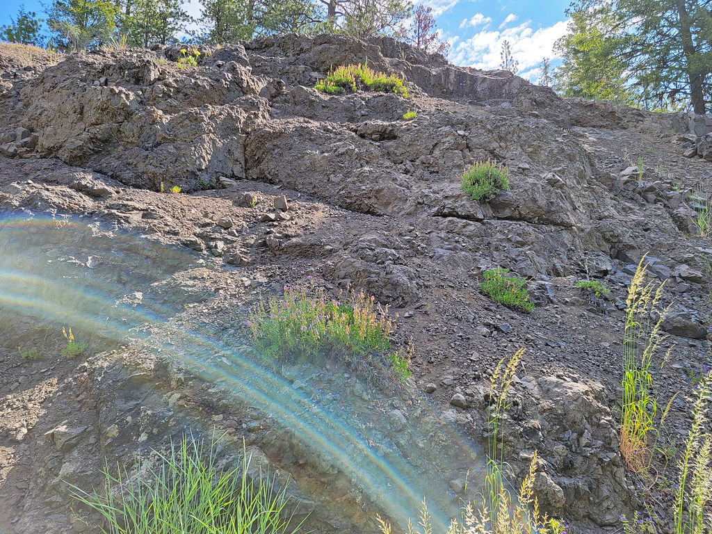 Mother Lode Mine Trail #808AHiking · ~35 min drivePhoto: AndreyZharkikh, CC BY 2.0 (via Flickr)
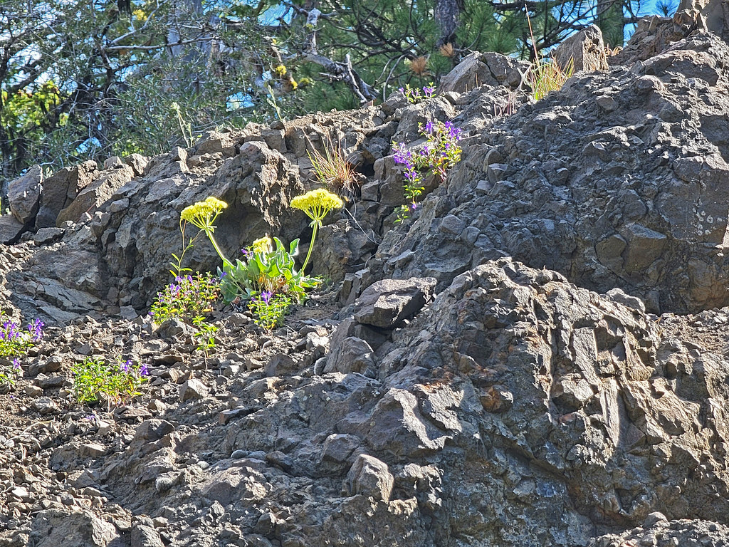 Independent MineHiking · ~35 min drivePhoto: AndreyZharkikh, CC BY 2.0 (via Flickr)
- Green Mountain TrailHiking · ~46 min drive
 Steins PillarHiking · ~43 min drivePhoto: U.S. Forest Service- Pacific Northwest Region, Public domain (via Wikimedia Commons)
- Lookout Mountain TrailHiking · ~35 min drivePhoto: AndreyZharkikh, CC BY 2.0 (via Flickr)
 Tumulus TrailHiking · ~46 min drivePhoto: Bureau of Land Management Oregon and Washington, Public domain (via Wikimedia Commons)
- Wildcat TrailHiking · ~46 min drive
 Dry River TrailHiking · ~49 min drivePhoto: Bureau of Land Management Oregon and Washington, Public domain (via Wikimedia Commons)
- BaneberryHiking · ~35 min drivePhoto: AndreyZharkikh, CC BY 2.0 (via Flickr)
Best time to visit Hammer Creek
Best months: May–September. Best months have typical highs of 55–85 °F, lows of 30 °F or warmer (32 °F where the station doesn't record snow), at most one snowy day and no more than 12 wet days.
Jan
37° / 18°
Feb
40° / 20°
Mar
47° / 22°
Apr
54° / 24°
May
63° / 32°
Jun
71° / 38°
Jul
82° / 45°
Aug
81° / 43°
Sep
73° / 36°
Oct
60° / 28°
Nov
46° / 21°
Dec
37° / 17°
Typical high / low (°F) and days with rain or snow, 1991–2020. Measured at Brothers, OR, 18.4 mi away at 4,640 ft. The station sits about 1,300 ft lower than this place, so expect it a little cooler here. This station doesn't record snowfall. Source: NOAA NCEI U.S. Climate Normals 1991–2020.

