Cove Palisades State Park
Campground
Campground · 0.2 mi from the trail
 Photo: Ian Poellet, CC BY-SA 3.0 (via Wikimedia Commons)
Closure in the area
There's a closure order in Ochoco National Forest. It doesn't name Tam-A-Láu Trail, so check the source for the area it covers.
Rowe Creek Complex Emergency Closure Order
Agency closure covering Ochoco National Forest · Order 06-07-26-04 · USFS · Ochoco National Forest
Blue-Green Algae Information
Agency alert covering Ochoco National Forest · USFS · Ochoco National Forest
Prescribed Fire information
Agency alert covering Ochoco National Forest · USFS · Ochoco National Forest
As of · Source: USFS · Ochoco National Forest. Agencies don't list every closure — check before you go.
The Tam-A-Láu Trail is a 4.6-mile point-to-point hike in Oregon's Crooked River National Grassland, part of the Ochoco National Forest, managed by the Forest Service. The trail starts at about 2,011 feet and climbs to 2,652 feet, with a total gain of 672 feet. The steepest stretch comes early, around 0.57 miles in, where the grade reaches 21%. Late spring and early fall are the most comfortable times to go. Typical averages from a nearby weather station in Madras show May highs around 69°F and September highs around 78°F, while July and August average in the mid-80s. The Tam-A-Lau hike lies about half a mile away, and the Crooked River Rim Trail is about 1.4 miles off. For an overnight stay, South Shore Group Campground is about 7.3 miles away, and the Willow Creek climbing area is about 9.6 miles away.
Cove Palisades State Park
Campground
Sisters Museum
Museum
Places © OpenStreetMap contributors
More in SistersNot on Roamze yet. Their page has how to reach them.
Best months: April–June and September–October. Best months have typical highs of 55–85 °F, lows of 30 °F or warmer (32 °F where the station doesn't record snow), at most one snowy day and no more than 12 wet days.
Jan
43° / 24°
10 wet · 3 snow
Feb
46° / 25°
8 wet · 1 snow
Mar
54° / 28°
8 wet · 1 snow
Apr
61° / 31°
8 wet
May
69° / 39°
8 wet
Jun
77° / 44°
5 wet
Jul
87° / 50°
3 wet
Aug
86° / 50°
2 wet
Sep
78° / 43°
3 wet
Oct
63° / 35°
6 wet
Nov
49° / 28°
8 wet · 1 snow
Dec
41° / 23°
10 wet · 2 snow
Typical high / low (°F) and days with rain or snow, 1991–2020. Measured at Madras 2 N, OR, 11.1 mi away at 2,443 ft. Source: NOAA NCEI U.S. Climate Normals 1991–2020.
Photo: Ian Poellet, CC BY-SA 3.0 (via Wikimedia Commons)Tam-A-Lau
Next door
10.84-mile loop trail in Oregon with 1,674 ft elevation gain.
Photo: Ian Poellet, CC BY-SA 3.0 (via Wikimedia Commons)Crooked River Rim Trail
~2 min drive
2.08-mile out-and-back trail in Oregon with 952 ft elevation gain.
 Photo: Ken Lund from Reno, Nevada, USA, CC BY-SA 2.0 (via Wikimedia Commons)
Beach Trail
~10 min drive
Out-and-back coastal trail featuring sandy beaches and ocean views.
HIKE
Cole Loop Trail #854
~21 min drive
22.34-mile out-and-back trail in Oregon with 3,366 ft elevation gain/loss.
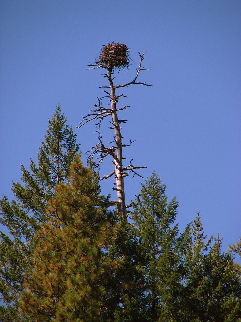 Photo: DBerry2006, CC BY 2.0 (via Flickr)
Green Ridge
~27 min drive
23.56-mile out-and-back trail in Oregon with 803 ft gain.
 Photo: Robert Ashworth from Bellingham, WA., USA, CC BY 2.0 (via Wikimedia Commons)
Grey Butte Trail
~22 min drive
1.31-mile out-and-back trail in Oregon with 966 ft of elevation gain.
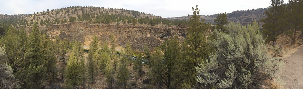 Photo: BLM Oregon & Washington, CC BY 2.0 (via Flickr)
Steelhead Falls - Trail System
~14 min drive
Out-and-back waterfall hike featuring scenic cascades and creek-side forest.
HIKE
RIDGE RIDER - COLE LOOP
~18 min drive
23.64-mile loop in Oregon with 2,797 ft elevation gain and loss.
HIKE
Ridge Rider - Warner Loop
~18 min drive
17.80-mile out-and-back trail in Oregon with 538 ft elevation gain.
 Photo: lamblukas, CC BY 2.0 (via Flickr)
Mesa Verde Trail
~23 min drive
0.74-mile out-and-back trail in Oregon with 1,045 ft elevation gain
Map and trail data © OpenStreetMap contributors

