Sutton Mountain Trail
- 3.6 mi
- round trip
- 2,090 ft
- climb
- 4,630 ft
- high point
- Out and back
- route
- Apr–Oct
- best months
Clear today
Weather is good · OpenWeather · checked just now
Sutton Mountain Trail is a moderate 7.2-mile out-and-back hike on Bureau of Land Management land in the Prineville Central Oregon Field Office, about 3.6 miles from its start. The trail climbs to a high point of 4,630 feet, with a one-way elevation gain of 1,787 feet and a total round-trip gain of 2,090 feet. The climb is front-loaded, with the steepest stretch at about 1.5 miles into the hike, where the grade reaches 23%. Summer is the most comfortable time to go. Typical averages from a nearby weather station at Mitchell show July highs around 83°F with lows near 51°F, and only a few wet days a month. That station sits well below the trail, so expect cooler temperatures on the summit. Wheeler Trail lies about 2.8 miles away and Black Canyon Trail about 3.5 miles. Painted Hills Overlook and the John Day River are within about 9.5 miles.
- Wheeler TrailHiking2.8 mi
- Black Canyon TrailHiking3.5 mi
 Bridge CreekCanoeingPhoto: Finetooth, CC BY-SA 3.0 (via Wikimedia Commons)5.8 mi
- Rocky TrailHiking6.4 mi
 Painted Hills OverlookHikingPhoto: Moo.The.Cow, CC BY 2.0 (via Flickr)6.4 mi
 Carroll RimHikingPhoto: lamblukas, CC BY 2.0 (via Flickr)6.5 mi
- Liberty Bottom TrailHiking7.8 mi
- John Day RiverRiver fishing9.5 mi
Source: Roamze catalog (indexable pages within 10 miles, PostGIS distance)
- Painted Hills OverlookHiking · ~11 min drivePhoto: Moo.The.Cow, CC BY 2.0 (via Flickr)
- Carroll RimHiking · ~11 min drivePhoto: lamblukas, CC BY 2.0 (via Flickr)
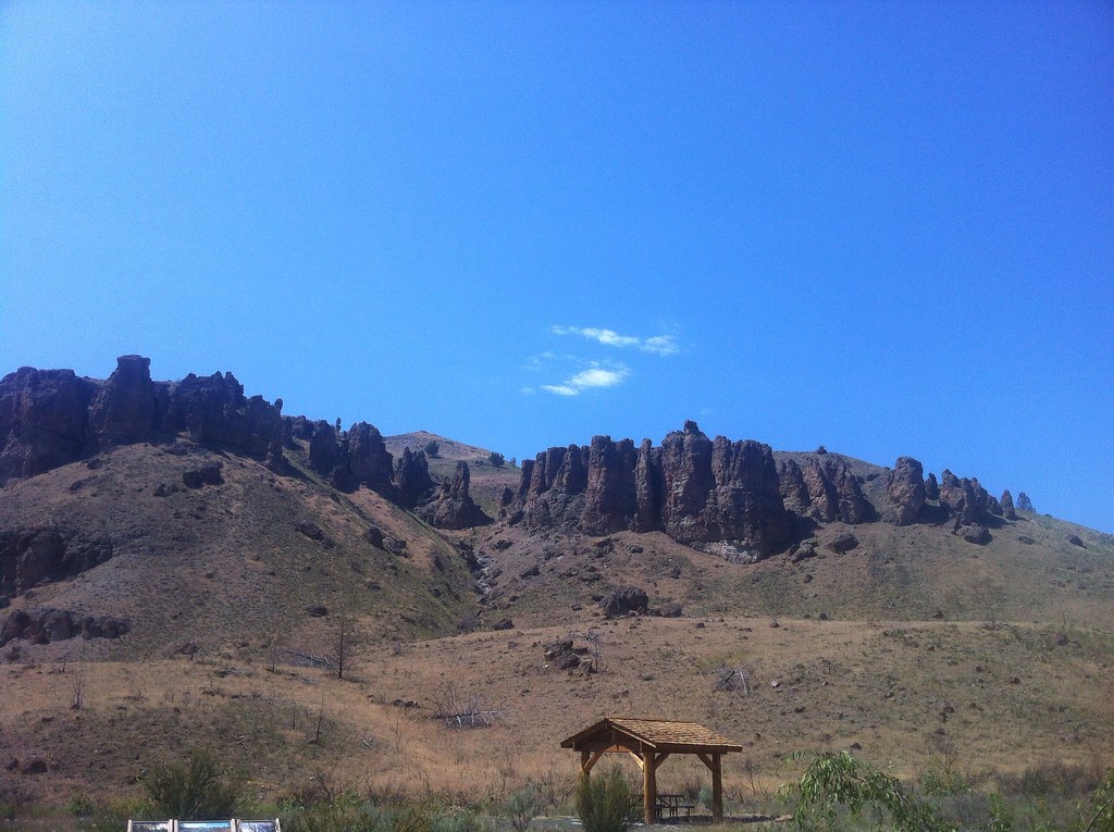 Divide TrailHiking · ~36 min drivePhoto: Francis Storr, CC BY-SA 2.0 (via Flickr)
- Jennies Peak TrailHiking · ~31 min drive
 Indian Canyon Loop TrailHiking · ~38 min drivePhoto: daveynin, CC BY 2.0 (via Flickr)
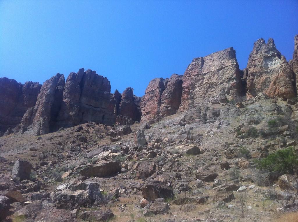 Huntley TrailHiking · ~37 min drivePhoto: Francis Storr, CC BY-SA 2.0 (via Flickr)
- COUGAR CREEKHiking · ~27 min drive
 Right Equisetum TrailHiking · ~39 min drivePhoto: Steven Pavlov, CC BY-SA 3.0 (via Wikimedia Commons)
- Rocky TrailHiking · ~11 min drive
- Cougar Creek Trail #835Hiking · ~27 min drive
Best time to visit Sutton Mountain Trail
Best months: April–October. Best months have typical highs of 55–85 °F, lows of 30 °F or warmer (32 °F where the station doesn't record snow), at most one snowy day and no more than 12 wet days.
Jan
43° / 26°
10 wet
Feb
46° / 26°
9 wet
Mar
52° / 29°
10 wet
Apr
57° / 33°
10 wet
May
65° / 39°
10 wet
Jun
72° / 44°
7 wet
Jul
83° / 51°
4 wet
Aug
82° / 51°
3 wet
Sep
75° / 45°
5 wet
Oct
62° / 37°
8 wet
Nov
50° / 30°
9 wet
Dec
41° / 25°
11 wet
Typical high / low (°F) and days with rain or snow, 1991–2020. Measured at Mitchell 2 E, OR, 6.6 mi away at 3,320 ft. The station sits about 1,300 ft lower than this place, so expect it a little cooler here. This station doesn't record snowfall. Source: NOAA NCEI U.S. Climate Normals 1991–2020.

Map and trail data © OpenStreetMap contributors
