Liberty Bottom Trail
- 0.9 mi
- round trip
- 312 ft
- climb
- 1,818 ft
- high point
- Out and back
- route
- May–Oct
- best months
Liberty Bottom Trail is a short, easy hike on Bureau of Land Management land in the Prineville Central Oregon Field Office, about 3 miles from the community of Twickenham, Oregon. The trail is an out-and-back that covers roughly 1.8 miles with a total climb of about 312 feet, so it works well as a quick outing rather than a long day on foot. The route starts at an elevation of about 1,818 feet and climbs to a high point of about 1,818 feet, meaning the highest ground is near the top of the trail. The steepest stretch is about 0.11 miles from the start, with a grade of around 16 percent. The climb is back-loaded, so the descent mirrors the ascent. Summer is the warmest stretch. Typical averages from a nearby weather station in Fossil show July and August highs around 84°F with only about two wet days a month. Winters are cold, with January highs near 42°F and lows around 26°F. Other trails close by include Rocky Trail, about 4 miles away, and Black Canyon Trail, about 4.4 miles away. Carroll Rim and Painted Hills Overlook are both within roughly 7 miles.
- Rocky TrailHiking3.8 mi
- Black Canyon TrailHiking4.4 mi
 Carroll RimHikingPhoto: lamblukas, CC BY 2.0 (via Flickr)6.7 mi
 Painted Hills OverlookHikingPhoto: Moo.The.Cow, CC BY 2.0 (via Flickr)7.3 mi
- Sutton Mountain TrailHiking7.8 mi
- John Day RiverRiver fishing9.7 mi
Source: Roamze catalog (indexable pages within 10 miles, PostGIS distance)
- Carroll RimHiking · ~12 min drivePhoto: lamblukas, CC BY 2.0 (via Flickr)
- Painted Hills OverlookHiking · ~13 min drivePhoto: Moo.The.Cow, CC BY 2.0 (via Flickr)
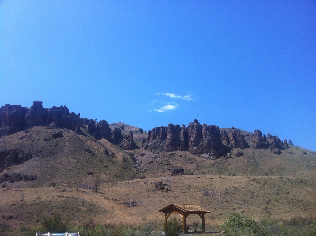 Divide TrailHiking · ~23 min drivePhoto: Francis Storr, CC BY-SA 2.0 (via Flickr)
- Jennies Peak TrailHiking · ~18 min drive
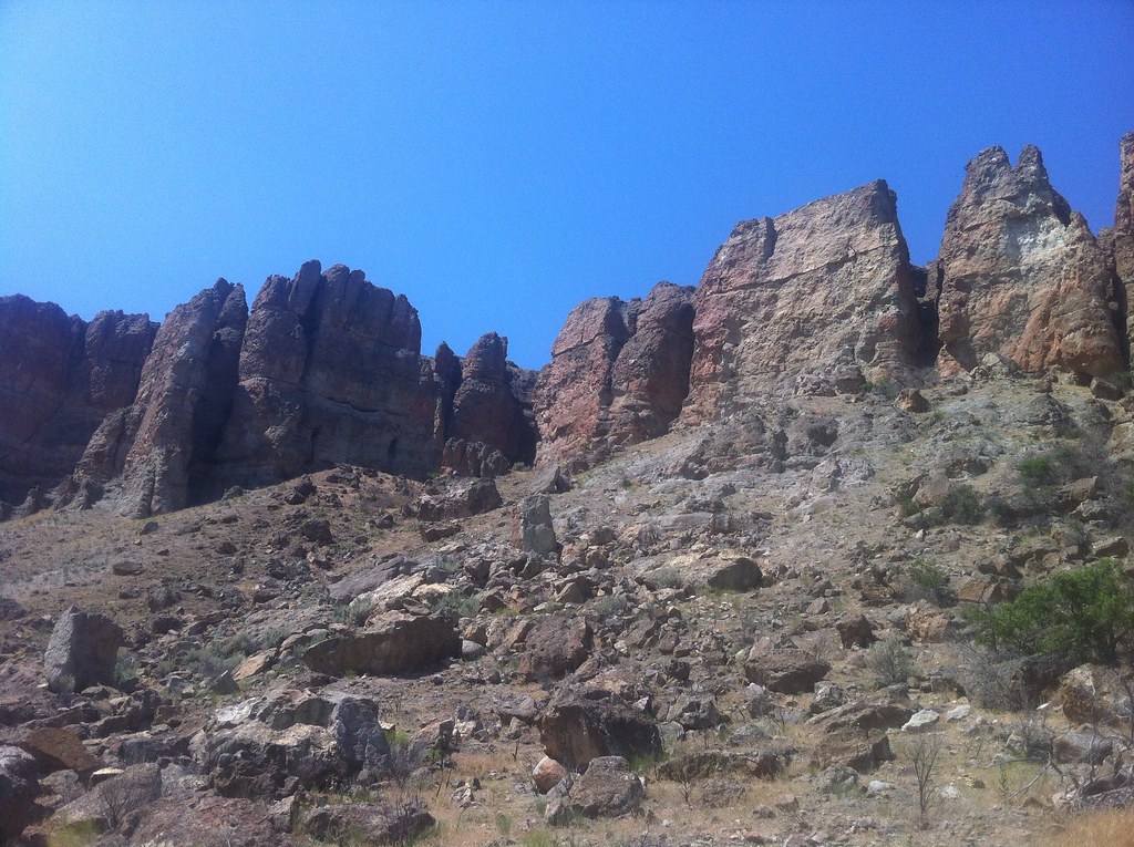 Huntley TrailHiking · ~24 min drivePhoto: Francis Storr, CC BY-SA 2.0 (via Flickr)
 Indian Canyon Loop TrailHiking · ~24 min drivePhoto: daveynin, CC BY 2.0 (via Flickr)
- COUGAR CREEKHiking · ~30 min drive
- Sutton Mountain TrailHiking · ~13 min drive
 Right Equisetum TrailHiking · ~25 min drivePhoto: Steven Pavlov, CC BY-SA 3.0 (via Wikimedia Commons)
- Cougar Creek Trail #835Hiking · ~30 min drive
Best time to visit Liberty Bottom Trail
Best months: May–October. Best months have typical highs of 55–85 °F, lows of 30 °F or warmer (32 °F where the station doesn't record snow), at most one snowy day and no more than 12 wet days.
Jan
42° / 26°
5 wet
Feb
46° / 26°
5 wet
Mar
52° / 28°
6 wet
Apr
58° / 31°
6 wet
May
66° / 37°
6 wet
Jun
73° / 42°
4 wet
Jul
84° / 46°
2 wet
Aug
84° / 45°
2 wet
Sep
74° / 40°
3 wet
Oct
63° / 33°
5 wet
Nov
48° / 28°
6 wet
Dec
41° / 24°
5 wet
Typical high / low (°F) and days with rain or snow, 1991–2020. Measured at Fossil, OR, 17.2 mi away at 2,650 ft. The station sits about 800 ft higher than this place, so expect it a little warmer here. This station doesn't record snowfall. Source: NOAA NCEI U.S. Climate Normals 1991–2020.


Map and trail data © OpenStreetMap contributors
