Saddle Creek Trail
- 10.6 mi
- round trip
- 6,202 ft
- climb
- 5,468 ft
- high point
- Out and back
- route
- Jun–Oct
- best months
Is Saddle Creek Trail open right now?
Closure in the area
There's a closure order in Wallowa-Whitman National Forest. It doesn't name Saddle Creek Trail, so check the source for the area it covers.
Anthony Fire Area Closure
Agency closure covering Wallowa-Whitman National Forest · USFS · Wallowa-Whitman National Forest
PHASE B FIRE RESTRICTIONS WALLOW-WHITMAN NATIONAL FOREST
Agency alert covering Wallowa-Whitman National Forest · Order 06-16-00-25-01 · USFS · Wallowa-Whitman National Forest
PHASE A FIRE RESTRICTIONS Wallowa-Whitman NATIONAL FOREST
Agency alert covering Wallowa-Whitman National Forest · Order 06-16-00-25-00 · USFS · Wallowa-Whitman National Forest
As of · Source: USFS · Wallowa-Whitman National Forest. Agencies don't list every closure — check before you go.
Saddle Creek Trail is an expert-level out-and-back hike in Oregon's Hells Canyon National Recreation Area, part of the Wallowa-Whitman National Forest. The trail is a full 21 miles long, with a total climb of about 6,200 feet. The route starts at Freezeout Trailhead, where the trailhead sits at about 3,582 feet and the high point reaches 5,468 feet. That makes for a steep climb of about 41% at the very start of the trail, and the whole trip covers roughly 10 hours on foot. Summer is the most comfortable time to go. Typical averages from a nearby weather station in Joseph, Oregon, show July and August highs around 79 to 80°F with only five or six wet days a month, while winter highs hover near 35°F. The station sits about 1,300 feet below the trail's summit, so temperatures on the mountain run cooler than these figures suggest. Saddle Creek Campground is about 2.5 miles away, and the Western Rim National Recreation Trail and Marks Cabin Trail are both within about 2.5 miles. For paddling, Big Sheep Creek is roughly 9 miles off.
Local outfitters
- Oregon Backcountry Outfitting23 mi away
- Eagle Cap Mountain Guides33 mi away
Not on Roamze yet. Their page has how to reach them.
- Western Rim National Recreation TrailHiking2.2 mi
- Marks Cabin TrailHiking2.5 mi
- Saddle Creek CampgroundCamping2.5 mi
- Freezeout TrailHiking2.8 mi
- Black Mountain TrailHiking3.2 mi
- Battle Creek TrailHiking5.6 mi
- Big Sheep CreekCanoeing8.9 mi
- Grouse CreekCanoeing10 mi
Source: Roamze catalog (indexable pages within 10 miles, PostGIS distance)
 Little Granite Creek TrailHiking · ~10 min drivePhoto: Sam Beebe/Ecotrust, CC BY-SA 3.0 (via Wikimedia Commons)
 Hat Point TrailHiking · ~11 min drivePhoto: ilya_ktsn, CC BY 2.0 (via Flickr)
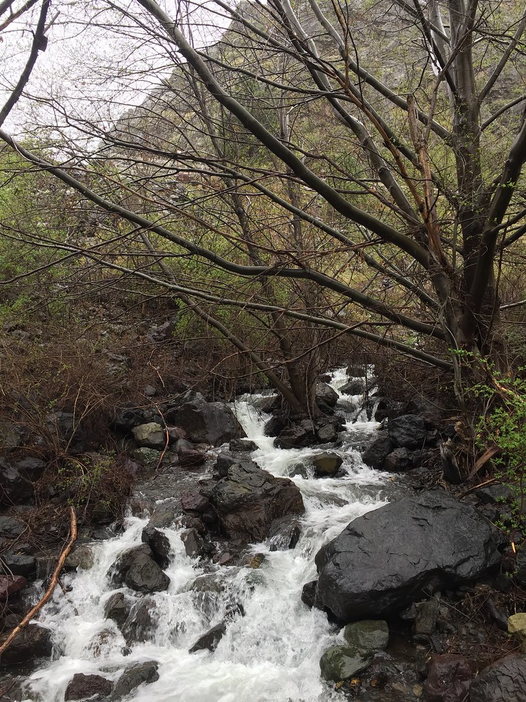 Stud Creek TrailHiking · ~15 min drivePhoto: Forest Service Pacific Northwest Region, Public Domain Mark (via Flickr)
- Marks Cabin TrailHiking · ~4 min drive
- Devils Farm TrailHiking · ~11 min drivePhoto: Sam Beebe/Ecotrust, CC BY-SA 3.0 (via Wikimedia Commons)
 Snake River National Recreation TrailHiking · ~14 min drivePhoto: U.S. Forest Service- Pacific Northwest Region, Public domain (via Wikimedia Commons)
 Dry Diggins Ridge TrailHiking · ~17 min drivePhoto: David Dugan, CC BY-SA 3.0 (via Wikimedia Commons)
- Last Chance TrailHiking · ~15 min drive
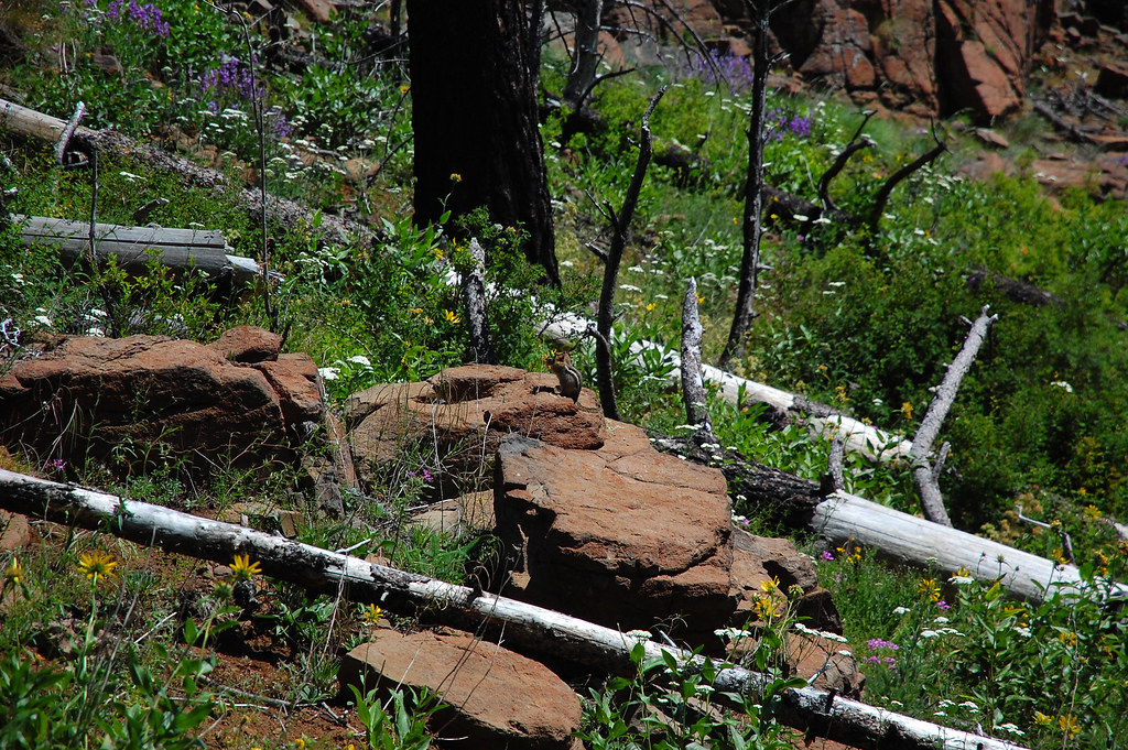 Four Mile TrailHiking · ~12 min drivePhoto: ilya_ktsn, CC BY 2.0 (via Flickr)
 He Devil Climber's TrailHiking · ~19 min drivePhoto: David Dugan, CC BY-SA 3.0 (via Wikimedia Commons)
Best time to visit Saddle Creek Trail
Best months: June–October. Best months have typical highs of 55–85 °F, lows of 30 °F or warmer (32 °F where the station doesn't record snow), at most one snowy day and no more than 12 wet days.
Jan
35° / 19°
12 wet
Feb
39° / 19°
11 wet
Mar
46° / 26°
13 wet
Apr
52° / 30°
14 wet
May
61° / 39°
14 wet
Jun
68° / 44°
11 wet
Jul
79° / 49°
6 wet
Aug
80° / 49°
5 wet
Sep
71° / 43°
7 wet
Oct
56° / 34°
10 wet
Nov
43° / 25°
12 wet
Dec
35° / 18°
13 wet
Typical high / low (°F) and days with rain or snow, 1991–2020. Measured at Joseph, OR, 22.6 mi away at 4,184 ft. The station sits about 1,300 ft lower than this place, so expect it a little cooler here. This station doesn't record snowfall. Source: NOAA NCEI U.S. Climate Normals 1991–2020.
Map and trail data © OpenStreetMap contributors
