Hat Point Trail
 Photo: ilya_ktsn, CC BY 2.0 (via Flickr)
- 3.4 mi
- round trip
- 3,187 ft
- climb
- 6,921 ft
- high point
- Out and back
- route
Is Hat Point Trail open right now?
Closure in the area
There's a closure order in Wallowa-Whitman National Forest. It doesn't name Hat Point Trail, so check the source for the area it covers.
Anthony Fire Area Closure
Agency closure covering Wallowa-Whitman National Forest · USFS · Wallowa-Whitman National Forest
PHASE B FIRE RESTRICTIONS WALLOW-WHITMAN NATIONAL FOREST
Agency alert covering Wallowa-Whitman National Forest · Order 06-16-00-25-01 · USFS · Wallowa-Whitman National Forest
PHASE A FIRE RESTRICTIONS Wallowa-Whitman NATIONAL FOREST
Agency alert covering Wallowa-Whitman National Forest · Order 06-16-00-25-00 · USFS · Wallowa-Whitman National Forest
As of · Source: USFS · Wallowa-Whitman National Forest. Agencies don't list every closure — check before you go.
Hat Point Trail is a hard hike of about 6.8 miles in Hells Canyon National Recreation Area, part of the Wallowa-Whitman National Forest in Oregon. The Forest Service manages the land, and the trail is an out-and-back with a high point of 6,921 feet and a total climb of about 3,187 feet. The route is back-loaded, with the steepest stretch at about 1.2 miles in. The trail begins at roughly 6,896 feet, and the low point is 4,702 feet. Plan for about four hours on the trail. Nearby, the Four Mile Trail is about 1.4 miles away, and the Swamp Ridge Trail and Catch I Two Trail are each about 3.1 miles off. Saddle Creek Campground, about 3.8 miles away, is the closest place to camp.
Local outfitters
- Oregon Backcountry Outfitting28 mi away
- Eagle Cap Mountain Guides35 mi away
Not on Roamze yet. Their page has how to reach them.
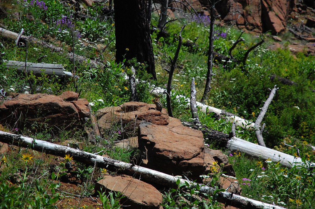 Four Mile TrailHikingPhoto: ilya_ktsn, CC BY 2.0 (via Flickr)1.4 mi
- Swamp Ridge TrailHiking3.1 mi
- Catch I Two TrailHiking3.1 mi
- Temperence Creek TrailHiking3.2 mi
- Haas Ridge TrailHiking3.3 mi
- Western Rim National Recreation TrailHiking3.4 mi
- Saddle Creek CampgroundCamping3.8 mi
- Sheep CreekCanoeing6.4 mi
Source: Roamze catalog (indexable pages within 10 miles, PostGIS distance)
- Four Mile TrailHiking · ~2 min drivePhoto: ilya_ktsn, CC BY 2.0 (via Flickr)
 Dry Diggins Ridge TrailHiking · ~13 min drivePhoto: David Dugan, CC BY-SA 3.0 (via Wikimedia Commons)
 Heaven's Gate TrailHiking · ~16 min drivePhoto: David Dugan, CC BY-SA 3.0 (via Wikimedia Commons)
 He Devil Climber's TrailHiking · ~16 min drivePhoto: David Dugan, CC BY-SA 3.0 (via Wikimedia Commons)
 Little Granite Creek TrailHiking · ~11 min drivePhoto: Sam Beebe/Ecotrust, CC BY-SA 3.0 (via Wikimedia Commons)
- Bernard Lakes TrailHiking · ~13 min drivePhoto: David Dugan, CC BY-SA 3.0 (via Wikimedia Commons)
- Western Rim National Recreation TrailHiking · ~6 min drive
- Catch I Two TrailHiking · ~5 min drive
- Devils Farm TrailHiking · ~12 min drivePhoto: Sam Beebe/Ecotrust, CC BY-SA 3.0 (via Wikimedia Commons)
- Sheep Lake Climber's TrailHiking · ~16 min drivePhoto: David Dugan, CC BY-SA 3.0 (via Wikimedia Commons)
Map and trail data © OpenStreetMap contributors
