Rock Creek 921
- 4.5 mi
- round trip
- 1,172 ft
- climb
- 2,722 ft
- high point
- Out and back
- route
- Jun–Sep
- best months
Is ROCK CREEK 921 open right now?
Closure in the area
There's a closure order in Barlow Ranger District. It doesn't name ROCK CREEK 921, so check the source for the area it covers (2 listed).
Grasshopper Fire Closure
Agency closure covering Barlow Ranger District · Order 06-06-01-26-18 · USFS · Barlow Ranger District
Closure in place for Grasshopper Fire
Agency closure covering Barlow Ranger District · Order 06-06-01-27-01 · USFS · Barlow Ranger District
Tamanawas Falls Trail closed due to instability hazards
Agency alert covering Mt. Hood National Forest · USFS · Mt. Hood National Forest
Eagle Creek Fire Area Closures
Agency alert covering Mt. Hood National Forest · Order 06-22-01-26-04 · USFS · Mt. Hood National Forest
FR 4613 road damage- use caution
Agency alert covering Mt. Hood National Forest · USFS · Mt. Hood National Forest
As of · Source: USFS · Barlow Ranger District. Agencies don't list every closure — check before you go.
Rock Creek 921 is a 9-mile out-and-back hike in Oregon's Mt. Hood National Forest, within the Barlow Ranger District. The Forest Service manages the land, and the trail climbs from about 2,200 feet to 2,722 feet, with a total elevation gain of 1,172 feet. That makes the trip about 2,200 feet from start to finish, and the steepest stretch comes at about 3.1 miles, where the grade reaches 10%. Summer is the most comfortable time to go. Typical July and August averages from a nearby weather station in Government Camp show highs around 69 to 70°F, lows near 48°F, and only about four wet days a month. That station sits roughly 1,258 feet higher than the trail's starting point, so temperatures on the route run a bit warmer. Winter is cold and wet, with typical highs in the mid-30s and rain on most days from November through March. The hike takes about 3.5 hours. Rock Creek 916 lies just 0.1 mile away, and Rock Creek Campground and Rock Creek Reservoir Campground are both about 1.7 miles off. Bonney Crossing campground is roughly 4.5 miles away.
Local outfitters
- Imperial River Company15 mi away
- Bike the Gorge41 mi away
Not on Roamze yet. Their page has how to reach them.
- Rock Creek 916Hiking0.1 mi
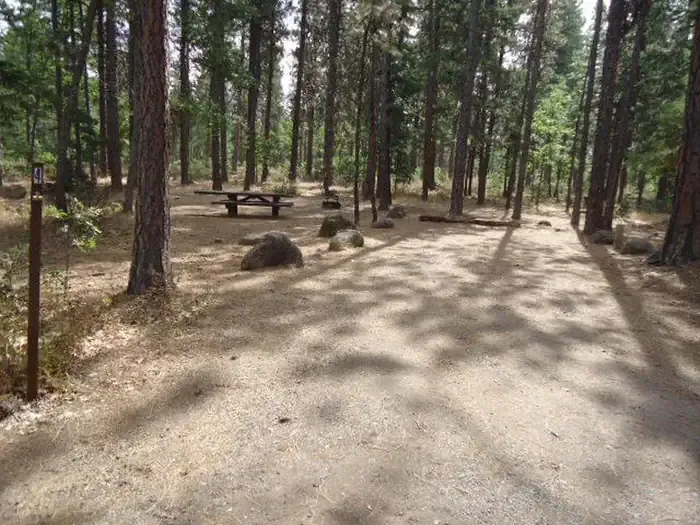 Rock Creek Campground (Mt. Hood National Forest, OR)CampingPhoto: Recreation.gov (RIDB) / public domain1.7 mi
- Rock Creek Reservoir CgCamping1.7 mi
 Rock Creek 914HikingPhoto: Forest Service Pacific Northwest Region, Public Domain Mark (via Flickr)1.9 mi
- Rock Creek 919Hiking2.1 mi
- Bonney CrossingCamping4.5 mi
- Badger CreekCanoeing5.6 mi
- Tygh CreekCanoeing8.5 mi
Source: Roamze catalog (indexable pages within 10 miles, PostGIS distance)
- Rock Creek 914Hiking · ~3 min drivePhoto: Forest Service Pacific Northwest Region, Public Domain Mark (via Flickr)
 Rock Creek 923Hiking · ~5 min drivePhoto: Ian Poellet (User:Werewombat), CC BY-SA 3.0 (via Wikimedia Commons)
 Rock Creek 911Hiking · ~5 min drivePhoto: Bark for Mt Hood, Public Domain Mark (via Flickr)
- Little Badger Trail #469Hiking · ~12 min drive
- Smock Prairie Nature TrailHiking · ~4 min drive
- Rock Creek 925Hiking · ~7 min drive
- Rock Creek 916Hiking · Next door
- Mccubbins 587Hiking · ~9 min drive
- Rock Creek 909Hiking · ~10 min drive
- Rock Creek 913Hiking · ~8 min drive
Best time to visit ROCK CREEK 921
Best months: June–September. Best months have typical highs of 55–85 °F, lows of 30 °F or warmer (32 °F where the station doesn't record snow), at most one snowy day and no more than 12 wet days.
Jan
37° / 26°
20 wet
Feb
38° / 26°
17 wet
Mar
41° / 28°
20 wet
Apr
45° / 31°
18 wet
May
54° / 36°
15 wet
Jun
59° / 41°
10 wet
Jul
69° / 48°
4 wet
Aug
70° / 48°
4 wet
Sep
64° / 45°
8 wet
Oct
53° / 37°
13 wet
Nov
42° / 30°
18 wet
Dec
35° / 26°
21 wet
Typical high / low (°F) and days with rain or snow, 1991–2020. Measured at Government Camp, OR, 18.8 mi away at 3,980 ft. The station sits about 1,300 ft higher than this place, so expect it a little warmer here. This station doesn't record snowfall. Source: NOAA NCEI U.S. Climate Normals 1991–2020.

