Tygh Creek
- 17.0 mi
- distance
- 3,618 ft
- high point
- Jun–Sep
- best months
Tygh Creek is a canoeing route in Oregon's White River Wildlife Area, managed by State Fish and Wildlife. The nearest town is Government Camp, about 17 miles away. Summer is the most comfortable time to paddle here. At a nearby weather station in Government Camp, typical July and August highs run around 69 to 70°F, with only about four wet days a month. Winter is cold and damp, with typical January highs near 37°F and roughly 20 wet days. Several other spots sit close by. Little Badger Campground and Little Badger Trail #469 are each within about 4 miles, and Badger Creek, a nearby canoeing route, is about 5 miles off. Rock Creek Reservoir Campground is roughly 7 miles away.
Local outfitters
- Pine Hollow Lakeside Resort & RV Park2 mi away
- Little Creek Outfitters & Guide12 mi away
Not on Roamze yet. Their page has how to reach them.
- Little Badger CgCamping3.6 mi
- Little Badger Trail #469Hiking4.3 mi
- Badger CreekCanoeing5.4 mi
- Bonney CrossingCamping6.1 mi
- Rock Creek Reservoir CgCamping7.1 mi
- School Canyon Trail #468Hiking7.4 mi
 Rock Creek 914HikingPhoto: Forest Service Pacific Northwest Region, Public Domain Mark (via Flickr)7.6 mi
- Area 51Rock climbing9.2 mi
Source: Roamze catalog (indexable pages within 10 miles, PostGIS distance)
 Fifteenmile CreekCanoeing · ~27 min drivePhoto: Finetooth, CC BY-SA 4.0 (via Wikimedia Commons)
- Sandy Beach Boat LaunchBoat launch · ~19 min drive
- Buckhollow Boat RampFloat trip · ~21 min drive
 White RiverCanoeing · ~29 min drivePhoto: Cacophony, CC BY-SA 3.0 (via Wikimedia Commons)
- Wapanitia Primitive North LaunchBoat launch · ~21 min drive
 Salmon RiverCanoeing · ~44 min drivePhoto: EncMstr, CC BY-SA 3.0 (via Wikimedia Commons)
- Buckhollow Boat LaunchBoat launch · ~21 min drive
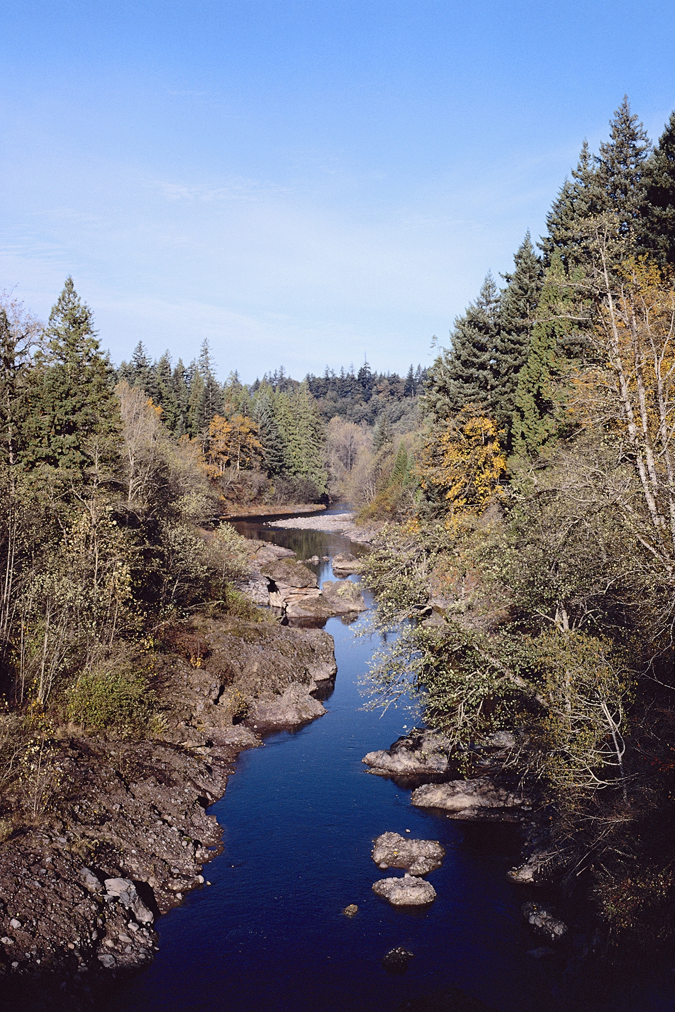 Sandy RiverCanoeing · ~47 min drivePhoto: USDA Forest Service, Public domain (via Wikimedia Commons)
- Pine Tree Boat LaunchBoat launch · ~21 min drive
 Zigzag RiverCanoeing · ~47 min drivePhoto: U.S. Forest Service- Pacific Northwest Region, Public domain (via Wikimedia Commons)
Best time to visit Tygh Creek
Best months: June–September. Best months have typical highs of 55–85 °F, lows of 30 °F or warmer (32 °F where the station doesn't record snow), at most one snowy day and no more than 12 wet days.
Jan
37° / 26°
20 wet
Feb
38° / 26°
17 wet
Mar
41° / 28°
20 wet
Apr
45° / 31°
18 wet
May
54° / 36°
15 wet
Jun
59° / 41°
10 wet
Jul
69° / 48°
4 wet
Aug
70° / 48°
4 wet
Sep
64° / 45°
8 wet
Oct
53° / 37°
13 wet
Nov
42° / 30°
18 wet
Dec
35° / 26°
21 wet
Typical high / low (°F) and days with rain or snow, 1991–2020. Measured at Government Camp, OR, 22.9 mi away at 3,980 ft. This station doesn't record snowfall. Source: NOAA NCEI U.S. Climate Normals 1991–2020.
