Quosatana Butte
- 0.4 mi
- round trip
- 466 ft
- climb
- 3,359 ft
- high point
- Out and back
- route
Is Quosatana Butte open right now?
Closure in the area
There's a closure order in Gold Beach Ranger District. It doesn't name Quosatana Butte, so check the source for the area it covers.
Moon Complex Fire Closure
Agency closure covering Gold Beach Ranger District · Order 06-10-28-26-05 · USFS · Gold Beach Ranger District
As of · Source: USFS · Gold Beach Ranger District. Agencies don't list every closure — check before you go.
Quosatana Butte is a short, out-and-back hike in the Gold Beach Ranger District of the Rogue River-Siskiyou National Forests in Oregon, managed by the Forest Service. The trail is about 0.76 miles long, with a total elevation gain of 466 feet, and it reaches a high point of 3,359 feet. The climb is front-loaded, with the steepest stretch at about 0.27 miles in, where the grade reaches 30 percent. The route starts at an elevation of about 2,917 feet and ends at roughly the same level, so the total gain and loss are each about 466 feet. The trail is open to both horses and bikes, which makes it a flexible option for riders and pack animals. The hike takes about half an hour to complete. For more time on foot, the North Fork Hunter Creek Trails and the Woodruff hike are both within about 5 miles. Paddlers can head to Hunter Creek, and Wildhorse campground sits about 5 miles away.
Local outfitters
- Turtle Rock RV Resort10 mi away
- John Carl Guide Service13 mi away
Not on Roamze yet. Their page has how to reach them.
Conditions and forecast on Quosatana Butte
Daily highs and lows, wind and the chance of precipitation at the summit and route start for the next 7 days, from the Open-Meteo model.
- North Fork Hunter Creek TrailsHiking4.5 mi
- Hunter CreekCanoeing4.6 mi
- WoodruffHiking4.7 mi
- WildhorseCamping5 mi
- North Fork Hunter CreekCanoeing5.3 mi
- Fritsche CabinHiking5.5 mi
- Snow Camp LookoutCamping5.6 mi
- Jim Hunt CreekCanoeing5.9 mi
Source: Roamze catalog (indexable pages within 10 miles, PostGIS distance)
 Collier BarHiking · ~19 min drivePhoto: Northwest Rafting Company, CC BY 2.0 (via Flickr)
 Pine GroveHiking · ~22 min drivePhoto: james shaw, CC BY-SA 3.0 (via Wikimedia Commons)
- Lake O WoodsHiking · ~23 min drivePhoto: james shaw, CC BY-SA 3.0 (via Wikimedia Commons)
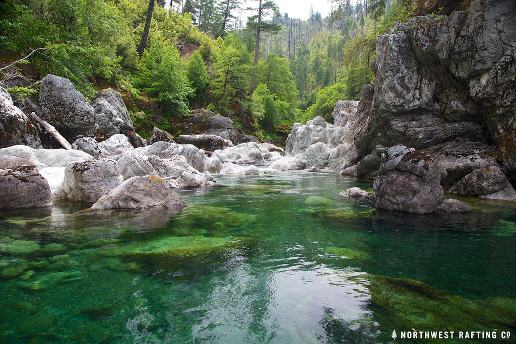 TincupHiking · ~22 min drivePhoto: Northwest Rafting Company, CC BY 2.0 (via Flickr)
 South Bend Mountain WayHiking · ~23 min drivePhoto: Northwest Rafting Company, CC BY 2.0 (via Flickr)
 Florence WayHiking · ~28 min drivePhoto: Northwest Rafting Company, CC BY 2.0 (via Flickr)
 Oregon Coast TrailHiking · ~26 min drivePhoto: Roger Sylvia, CC BY-SA 3.0 (via Wikimedia Commons)
- Lower Rogue RiverHiking · ~10 min drive
- Fritsche CabinHiking · ~9 min drive
- North Fork Hunter Creek TrailsHiking · ~8 min drive
Route details
- Distance
- 0.4 mi round trip
- Climbing
- About 466 ft
- Summit
- 3,362 ft
- Difficulty
- Easy
- Time
- About 0.5 hours
Questions about this route
How long is the Quosatana Butte on Quosatana Butte?
About 0.4 mi round trip.
How much elevation gain is on the Quosatana Butte?
About 466 ft of climbing round trip.
How hard is the Quosatana Butte?
It is rated easy.
How long does the Quosatana Butte take?
About 0.5 hours round trip.
