Woodruff
- 1.6 mi
- loop
- 222 ft
- climb
- 1,208 ft
- high point
- Loop
- route
- May–Oct
- best months
Is Woodruff open right now?
No closures listed
The Forest Service lists no closures for Rogue River-Siskiyou National Forests.
As of · Source: USFS · Rogue River-Siskiyou National Forests. Agencies don't list every closure — check before you go.
Woodruff is a short, easy loop hike in the Gold Beach Ranger District of the Rogue River-Siskiyou National Forests in Oregon. The trail is about 1.6 miles long, with a total elevation gain of 222 feet and a high point of 1,208 feet. It starts at the Woodruff Meadow Trailhead, which is open from June 1 to October 31. The route is a loop, and the climb is gentle. The steepest stretch comes early on, with a grade of about 29 percent at the start, but the trail soon eases into a natural surface that makes it a comfortable walk for a half day. Summer is the most comfortable time to go. Typical averages from a nearby weather station show July and August highs around 68 to 69°F with only about three wet days a month, while winter brings highs in the mid-50s and rain on most days. Quosatana Campground is about 1.5 miles away, and the Lower Rogue River hike is about 2.1 miles off. Lobster Creek Campground & Lobster Bar and the Frances Shrader Old Growth trail are both within about 2.4 miles.
Local outfitters
- John Carl Guide Service11 mi away
- Turtle Rock RV Resort11 mi away
Not on Roamze yet. Their page has how to reach them.
Best time to go · May–Oct
Best time to visit Woodruff
Best months: May–October. Best months have typical highs of 55–85 °F, lows of 30 °F or warmer (32 °F where the station doesn't record snow), at most one snowy day and no more than 12 wet days.
Jan
55° / 43°
18 wet
Feb
55° / 42°
17 wet
Mar
57° / 43°
19 wet
Apr
59° / 44°
15 wet
May
62° / 47°
11 wet
Jun
65° / 50°
6 wet
Jul
68° / 53°
3 wet
Aug
69° / 53°
3 wet
Sep
69° / 52°
5 wet
Oct
64° / 49°
12 wet
Nov
57° / 45°
18 wet
Dec
54° / 42°
19 wet
Typical high / low (°F) and days with rain or snow, 1991–2020. Measured at Gold Beach Rs, OR, 10.6 mi away at 50 ft. The station sits about 1,200 ft lower than this place, so expect it a little cooler here. Source: NOAA NCEI U.S. Climate Normals 1991–2020.
Closures we've recorded since August 2026
Stage 2 Public Use Fire Restrictions (Forest-wide)
Rogue River-Siskiyou National Forests · Order dated September 4, 2026; seen Sep 3, 2026 → lifted Oct 28, 2026 · Forest Service
Stage 3 Public Use Fire Restrictions (Forest-wide)
Rogue River-Siskiyou National Forests · Order dated July 17, 2026; seen Aug 23, 2026 → lifted Sep 3, 2026 · Forest Service
Keep exploring — more trails worth the drive
 Photo: james shaw, CC BY-SA 3.0 (via Wikimedia Commons)
Pine Grove
~17 min drive
11.70-mile out-and-back trail in Oregon with 3,241 ft of elevation gain.
Photo: james shaw, CC BY-SA 3.0 (via Wikimedia Commons)Lake O Woods
~18 min drive
0.60-mile lollipop trail at Lake O Woods in Oregon with 287 ft of elevation loss.
 Photo: Northwest Rafting Company, CC BY 2.0 (via Flickr)
Collier Bar
~21 min drive
5.60-mile out-and-back trail in Oregon with 4,699 ft gain.
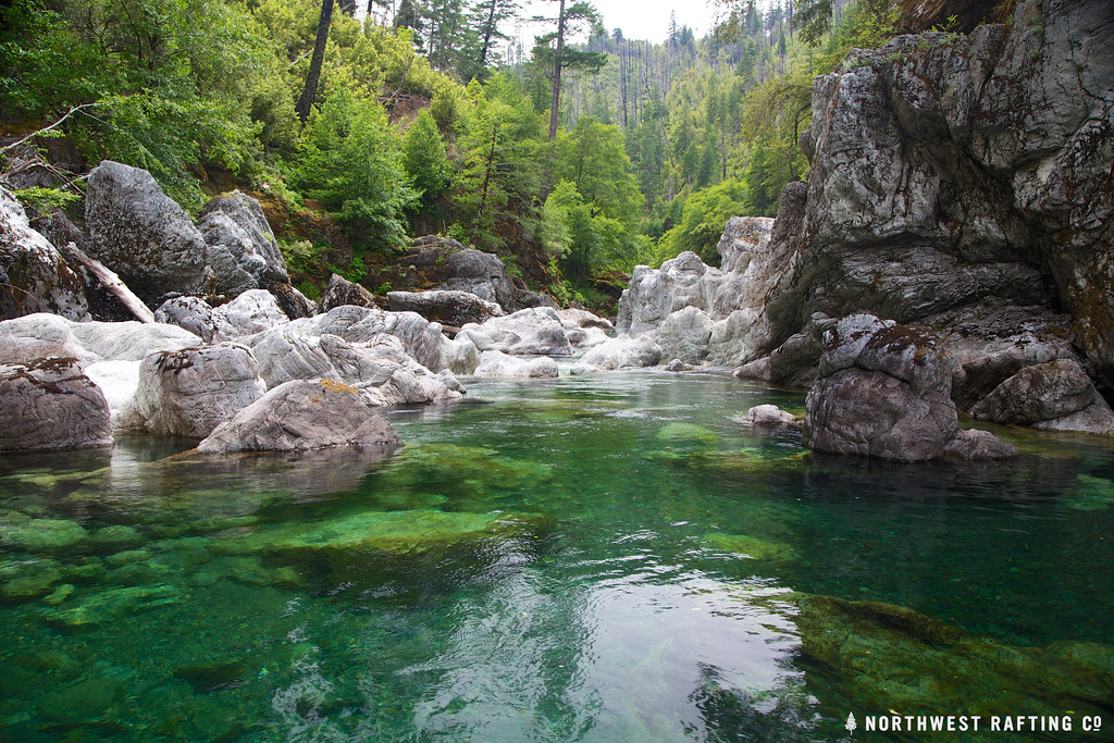 Photo: Northwest Rafting Company, CC BY 2.0 (via Flickr)
Tincup
~29 min drive
Tincup is a 30.44-mile out-and-back trail in Oregon with 5,724 feet of elevation gain.
 Photo: Northwest Rafting Company, CC BY 2.0 (via Flickr)
Florence Way
~30 min drive
6.20-mile out-and-back trail in Oregon with 275 ft elevation gain and 3,449 ft loss.
Photo: Northwest Rafting Company, CC BY 2.0 (via Flickr)Florence Cut-Off
~30 min drive
2.77-mile out-and-back trail in Oregon with 1,029 ft gain.
 Photo: Northwest Rafting Company, CC BY 2.0 (via Flickr)
South Bend Mountain Way
~25 min drive
4.96-mile out-and-back trail in Oregon with 810 ft gain.
HIKE
Lower Rogue River
~4 min drive
12.34-mile out-and-back trail on the Rogue River in Oregon with 3,190 ft gain.
HIKE
North Fork Hunter Creek Trails
~11 min drive
Out-and-back creek trail through Cascade foothills forest.
HIKE
Frances Shrader Old Growth
~4 min drive
1.43-mile out-and-back trail in Oregon with 140 ft elevation gain.
