Fish Lake Remount Depot Cabins
Campground
Campground · 0.9 mi from the trail
Closure in the area
There's a closure order in Willamette National Forest. It doesn't name PUMICE LOOP, so check the source for the area it covers.
Cedar Creek Fire Closure
Agency closure covering Willamette National Forest · Order 06-18-10-26-04 · USFS · Willamette National Forest
FIRE CLOSURES: Current wildfire closures on the Willamette National Forest
Agency alert covering Willamette National Forest · USFS · Willamette National Forest
As of · Source: USFS · Willamette National Forest. Agencies don't list every closure — check before you go.
Pumice Loop is a short, easy loop hike in the Sweet Home Ranger District of the Willamette National Forest in Oregon, managed by the Forest Service. The trail is about a mile long, with a total climb of about 210 feet, and it starts and ends at roughly 3,485 feet. The route is a loop, so you return to your starting point, and the steepest part comes about 0.4 miles in, with a grade of about 17 percent. Summer is the most comfortable time to go. Typical averages from the nearby Santiam Junction weather station, at a similar elevation, run to highs around 76°F in July and August, with lows near 42°F. Winter is cold, with January highs around 38°F and lows near 24°F. Lava Flats Loop is just 0.1 mile away, and Lava View Loop, a cross-country ski route, is about 0.4 mile off. Fish Lake Remount Depot Cabins, a campground, sits about 0.9 mile away, and Crescent Mountain is about 1.3 miles away.
Fish Lake Remount Depot Cabins
Campground
Crockett Lodge
Restaurant
Kiwanis club
Attraction
Places © OpenStreetMap contributors
More in SistersNot on Roamze yet. Their page has how to reach them.
Best months: May–October. Best months have typical highs of 55–85 °F, lows of 30 °F or warmer (32 °F where the station doesn't record snow), at most one snowy day and no more than 12 wet days.
Jan
38° / 24°
Feb
41° / 24°
Mar
44° / 26°
Apr
49° / 29°
May
58° / 35°
Jun
65° / 38°
Jul
76° / 42°
Aug
76° / 42°
Sep
69° / 39°
Oct
56° / 33°
Nov
42° / 28°
Dec
36° / 23°
Typical high / low (°F) and days with rain or snow, 1991–2020. Measured at Santiam Junction, OR, 3.7 mi away at 3,750 ft. This station doesn't record snowfall. Source: NOAA NCEI U.S. Climate Normals 1991–2020.
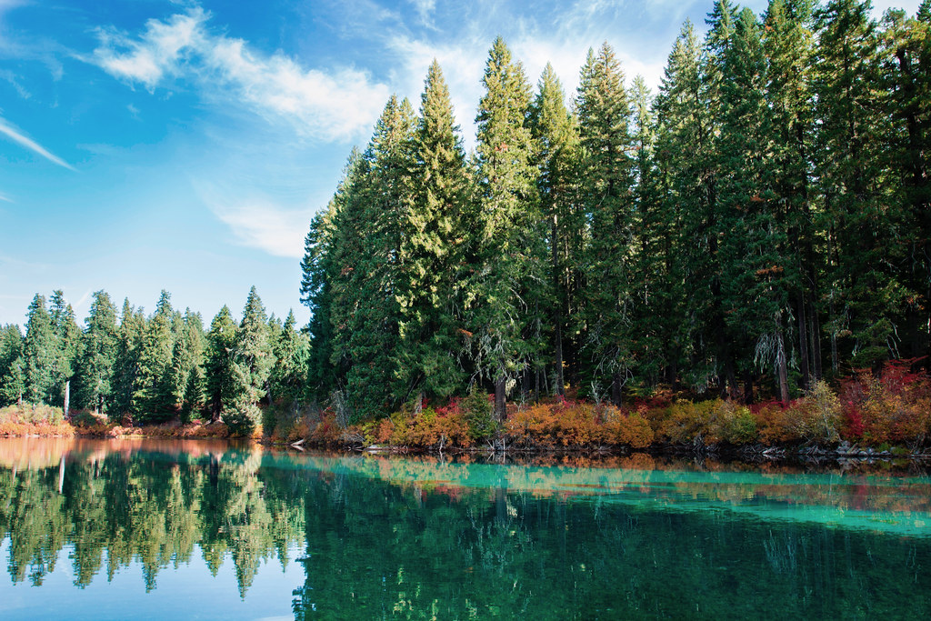 Photo: Bonnie Moreland (free images), Public Domain Mark (via Flickr)
Santiam Wagon Road East
~3 min drive
5.80-mile out-and-back trail in Oregon with 4,484 ft gain and 3,517 ft loss.
 Photo: Forest Service Pacific Northwest Region, Public Domain Mark (via Flickr)
LAVA LAKE ACCESS EAST
~5 min drive
3.58-mile out-and-back trail to Lava Lake with 477 ft elevation gain
HIKE
TRAIL #48 - CRESCENT MT ROUTE
~3 min drive
9.12-mile out-and-back trail in Oregon with 2,989 ft elevation gain and loss.
HIKE
MAXWELL LOOP
~8 min drive
15.74-mile out-and-back out-and-back in Oregon with 3,135 ft gain/loss
 Photo: Bonnie Moreland (free images), Public Domain Mark (via Flickr)
PRAIRIE VIEW LOOP
~5 min drive
5.40-mile loop trail in Oregon with 822 ft elevation gain.
Photo: Forest Service Pacific Northwest Region, Public Domain Mark (via Flickr)SOUTH SPRINGS LOOP
~5 min drive
1.18-mile out-and-back trail in Oregon with 388 ft elevation gain.
HIKE
Prairie View Loop
~4 min drive
11.44-mile out-and-back trail in Oregon with 1,528 ft elevation gain/loss
Photo: Bonnie Moreland (free images), Public Domain Mark (via Flickr)ISAAC NICKERSON LOOP
~5 min drive
6.04-mile out-and-back out-and-back in Oregon with 1,993 ft elevation gain
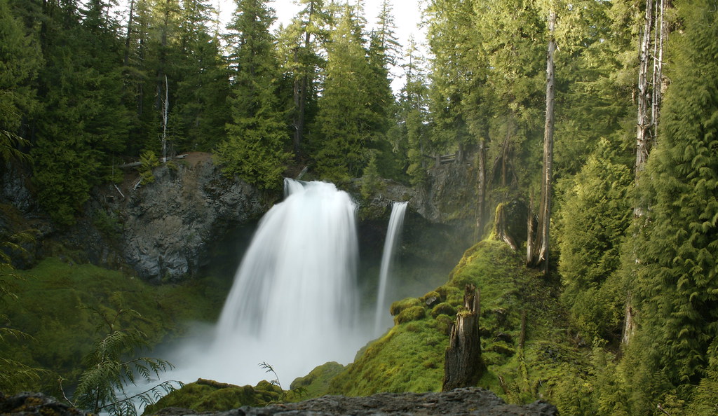 Photo: acaben, CC BY-SA 2.0 (via Flickr)
Waterfalls
~9 min drive
1.24-mile out-and-back trail in Oregon with 3,047 ft elevation gain.
HIKE
Santiam Wagon Road West
~6 min drive
9.14-mile out-and-back trail on Santiam Wagon Road West in Oregon.
