Driftwood Campground - Deschutes
Campground
Campground · 0.4 mi from the trail
 Photo: dogplusplus, CC BY 2.0 (via Flickr)
Closure in the area
There's a closure order in Deschutes National Forest. It doesn't name Park Meadow Tie, so check the source for the area it covers.
West Bend Area Trail Closures
Agency closure covering Deschutes National Forest · USFS · Deschutes National Forest
Camping & Campfire Restrictions Forest Order
Agency alert covering Deschutes National Forest · Order 06-01-26-01 · USFS · Deschutes National Forest
Cave Resource Protection Forest Order
Agency alert covering Deschutes National Forest · Order 06-01-26-02 · USFS · Deschutes National Forest
Deschutes 14-Day Camping Order
Agency alert covering Deschutes National Forest · Order 06-01-25-01 · USFS · Deschutes National Forest
Wilderness Permit, Camping & Fire Restrictions Order
Agency alert covering Deschutes National Forest · Order 06-01-24-01 · USFS · Deschutes National Forest
As of · Source: USFS · Deschutes National Forest. Agencies don't list every closure — check before you go.
Park Meadow Tie is an easy, 2-mile out-and-back hike in the Sisters Ranger District of Deschutes National Forest in Oregon. The trail starts at about 6,620 feet and climbs to a high point of 6,856 feet, with the steepest stretch coming around 0.5 miles in. The climb is front-loaded, and the total gain is 366 feet, which makes for a short, low-effort outing. The Forest Service manages the land, and the trail is a natural-surface route that allows horses but not bikes. The trip is estimated to take about an hour, and the trail is open year-round. Three Creek Meadow sits just 0.1 mile away, and Little Three Creek Lake is about 0.3 mile off. Driftwood Campground is about 0.4 mile away, and Three Creeks Lake Campground is about 0.9 mile away.
Driftwood Campground - Deschutes
Campground
Three Creeks Brewing Company
Brewery
Clearwater Gallery
Gallery
Places © OpenStreetMap contributors
More in SistersNot on Roamze yet. Their page has how to reach them.
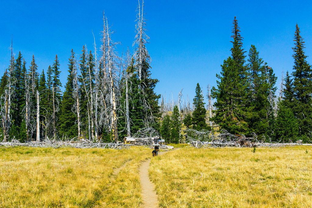 Photo: dogplusplus, CC BY 2.0 (via Flickr)
Three Creek Meadow Trail #4103
~1 min drive
2.2-mile out-and-back hike in Oregon with 546 ft elevation gain.
 Photo: U.S. Forest Service- Pacific Northwest Region, Public domain (via Wikimedia Commons)
SNOW CREEK XC
~2 min drive
7.82-mile out-and-back trail in Oregon with 1,346 ft elevation gain/loss.
 Photo: U.S. Forest Service- Pacific Northwest Region, Public domain (via Wikimedia Commons)
Broken Top
~7 min drive
9.40-mile out-and-back trail in Oregon with 619 ft gain.
HIKE
Metolius-Windigo Trail #99
~3 min drive
29.58-mile out-and-back trail in Oregon with 3,684 ft elevation gain/loss.
Photo: dogplusplus, CC BY 2.0 (via Flickr)East Fork
~1 min drive
East Fork is a 1.24-mile out-and-back trail in Oregon with 231 feet of elevation gain.
 Photo: lamblukas, CC BY 2.0 (via Flickr)
Swampy Lakes Trail #23
~10 min drive
2.38-mile out-and-back hike in Oregon with 1,032 ft gain.
 Photo: dogplusplus, CC BY 2.0 (via Flickr)
Farewell
~8 min drive
6.58-mile out-and-back trail in Oregon with 814 ft gain.
Photo: U.S. Forest Service- Pacific Northwest Region, Public domain (via Wikimedia Commons)Tam Mcarthur Rim
~1 min drive
1.60-mile out-and-back trail in Oregon with 699 ft elevation gain.
 Photo: U.S. Forest Service- Pacific Northwest Region, Public domain (via Wikimedia Commons)
Todd Trail #34
~10 min drive
4.06-mile out-and-back trail in Oregon with 1,155 ft elevation gain and loss.
Photo: dogplusplus, CC BY 2.0 (via Flickr)Mrazek Trail
~8 min drive
12.43-mile point-to-point hike in Oregon with 426 ft gain and 2,269 ft loss.


