Round Lake Christian Camp
Campground
Campground · 5.4 mi from the trail
Closure in the area
There's a closure order in Deschutes National Forest. It doesn't name Old Summit Trail #4014, so check the source for the area it covers.
West Bend Area Trail Closures
Agency closure covering Deschutes National Forest · USFS · Deschutes National Forest
Camping & Campfire Restrictions Forest Order
Agency alert covering Deschutes National Forest · Order 06-01-26-01 · USFS · Deschutes National Forest
Cave Resource Protection Forest Order
Agency alert covering Deschutes National Forest · Order 06-01-26-02 · USFS · Deschutes National Forest
Deschutes 14-Day Camping Order
Agency alert covering Deschutes National Forest · Order 06-01-25-01 · USFS · Deschutes National Forest
Wilderness Permit, Camping & Fire Restrictions Order
Agency alert covering Deschutes National Forest · Order 06-01-24-01 · USFS · Deschutes National Forest
As of · Source: USFS · Deschutes National Forest. Agencies don't list every closure — check before you go.
Old Summit Trail #4014 is a short, easy hike in Oregon's Mount Jefferson Wilderness, within the Sisters Ranger District of Deschutes National Forest. The trail is an out-and-back that starts and ends at the same point, with a total round-trip distance of about 2 miles and a total elevation gain of about 770 feet. The high point is roughly 5,439 feet, and the steepest stretch comes early on, around 0.24 miles in, with a grade of about 9 percent. The trail is managed by the Forest Service, and the route is back-loaded, meaning the climb is more pronounced on the way up. The low point sits at about 5,174 feet, and the trail is best suited for a quick outing of about an hour. Minto Lake and the Minto Pass Tie are both about half a mile away, and the Canyon Creek Meadow Loop Trail is about 1.8 miles off. For an overnight stay, Jack Creek Campground is about 5.8 miles away.
Round Lake Christian Camp
Campground
Kiwanis club
Attraction
Places © OpenStreetMap contributors
More in SistersNot on Roamze yet. Their page has how to reach them.
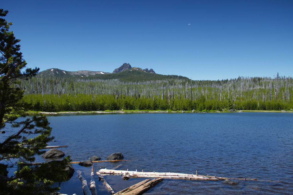 Photo: Bonnie Moreland (free images), Public Domain Mark (via Flickr)
Canyon Creek Meadow Loop Trail
~3 min drive
4.24-mile loop trail in Oregon with 753 ft elevation gain.
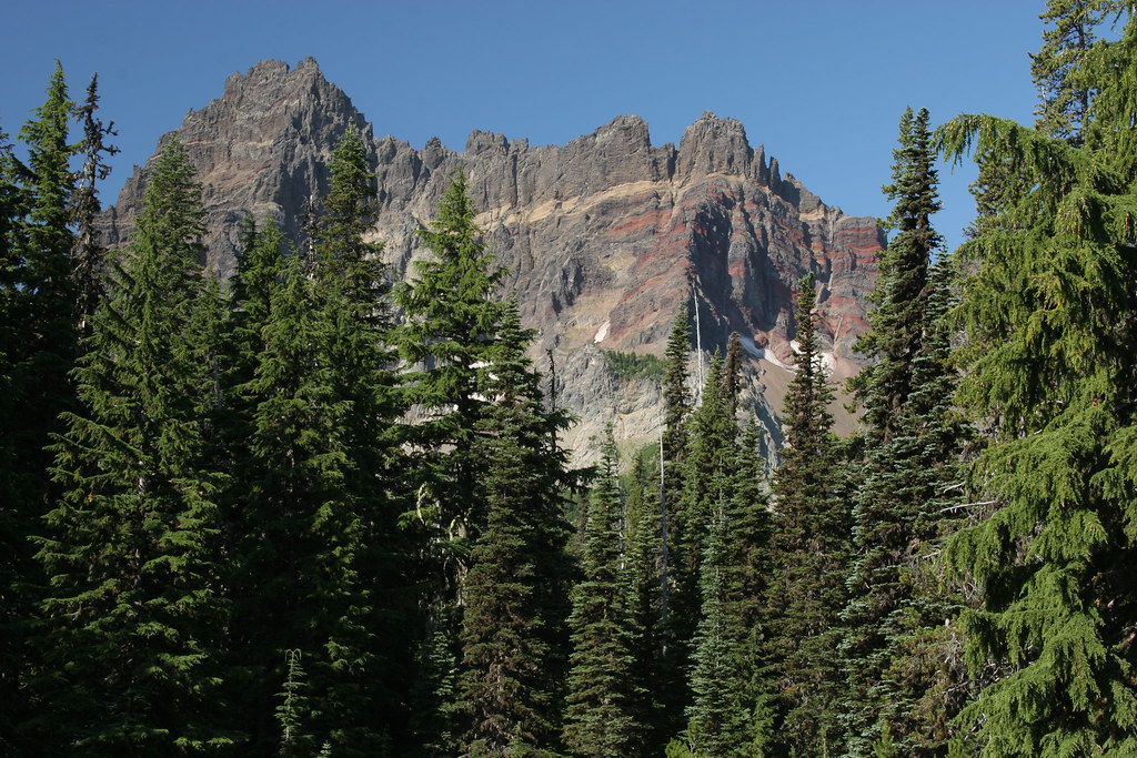 Photo: Forest Service Pacific Northwest Region, Public Domain Mark (via Flickr)
Three-Fingered Jack Climbers Trail
~6 min drive
1.06-mile out-and-back trail in Oregon with 1,227 ft elevation gain.
 Photo: Forest Service Pacific Northwest Region, Public Domain Mark (via Flickr)
Minto Pass
~7 min drive
9.40-mile out-and-back trail in Oregon with 2,008 ft gain
HIKE
Table Lake Trail #4003
~8 min drive
9.88-mile out-and-back trail in Oregon with 2,945 ft elevation gain and loss.
Photo: Forest Service Pacific Northwest Region, Public Domain Mark (via Flickr)Marion Lake
~7 min drive
1.00-mile out-and-back trail to Marion Lake in Oregon with 364 ft elevation gain.
Photo: Forest Service Pacific Northwest Region, Public Domain Mark (via Flickr)Marion Lake Trail 3436
~7 min drive
5.14-mile out-and-back trail in Oregon with 1,857 ft elevation gain and loss.
HIKE
Bowerman Lake
~4 min drive
6.40-mile out-and-back trail to Bowerman Lake in Oregon with 1,062 ft gain
HIKE
CABOT LAKE
~9 min drive
17.44-mile out-and-back trail at CABOT LAKE in Oregon with 3,946 ft gain.
 Photo: BHunsaker, CC BY 3.0 (via Wikimedia Commons)
Temple Lake
~9 min drive
0.44-mile out-and-back trail to Temple Lake in Oregon with 23 ft of elevation gain.
HIKE
MINTO LAKE
~2 min drive
5.1-mile out-and-back to Minto Lake in Oregon with 1,047 ft gain
Map and trail data © OpenStreetMap contributors


