Nehalem River Dike Trail
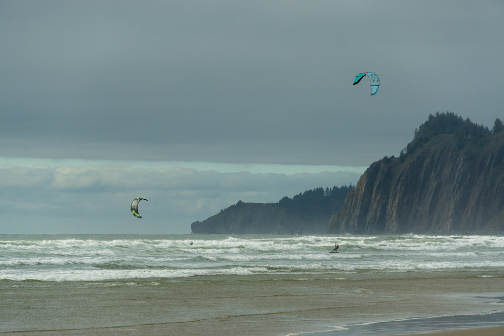 Photo: dogplusplus, CC BY 2.0 (via Flickr)
- 1.5 mi
- round trip
- 55 ft
- climb
- 12 ft
- high point
- Out and back
- route
- Jun–Sep
- best months
The Nehalem River Dike Trail is an easy out-and-back hike on Bureau of Land Management land in the Nehalem River unit of Oregon, about 1.5 miles long with a total elevation gain of about 55 feet. The route is flat, with a high point of about 12 feet and a low of about 0, and it takes roughly an hour to complete. Summer is the most comfortable time to visit. At a nearby weather station in Tillamook, typical July and August highs average around 68 to 69°F with only about seven wet days a month, while winter months see highs in the low 50s and rain on roughly 20 or more days. Elk Run Trail starts just 0.3 miles away, and Headwaters Trail is about 3 miles off. For paddling, Foley Creek and Short Sand Creek are both within about 5 miles.
Local outfitters
- Hart's Camp34 mi away
- Headlands Coastal Lodge & Spa35 mi away
Not on Roamze yet. Their page has how to reach them.
- Elk Run TrailHikingPhoto: dogplusplus, CC BY 2.0 (via Flickr)0.3 mi
- Loop A WashroomsMountain biking2.5 mi
 Headwaters TrailHikingPhoto: Sam Beebe/Ecotrust, CC BY-SA 3.0 (via Wikimedia Commons)3 mi
- South Neah-Kah-Nie Mountain TrailMountain biking3.5 mi
- Foley CreekCanoeing4.6 mi
- Short Sand CreekCanoeing4.9 mi
- Coal CreekCanoeing5.5 mi
 Miami RiverCanoeingPhoto: Finetooth, CC BY-SA 3.0 (via Wikimedia Commons)7.3 mi
Source: Roamze catalog (indexable pages within 10 miles, PostGIS distance)
- Elk Run TrailHiking · Next doorPhoto: dogplusplus, CC BY 2.0 (via Flickr)
- Headwaters TrailHiking · ~5 min drivePhoto: Sam Beebe/Ecotrust, CC BY-SA 3.0 (via Wikimedia Commons)
 Arch Cape to Cape Falcon TrailHiking · ~11 min drivePhoto: mjfmjfmjf, CC BY 2.0 (via Flickr)
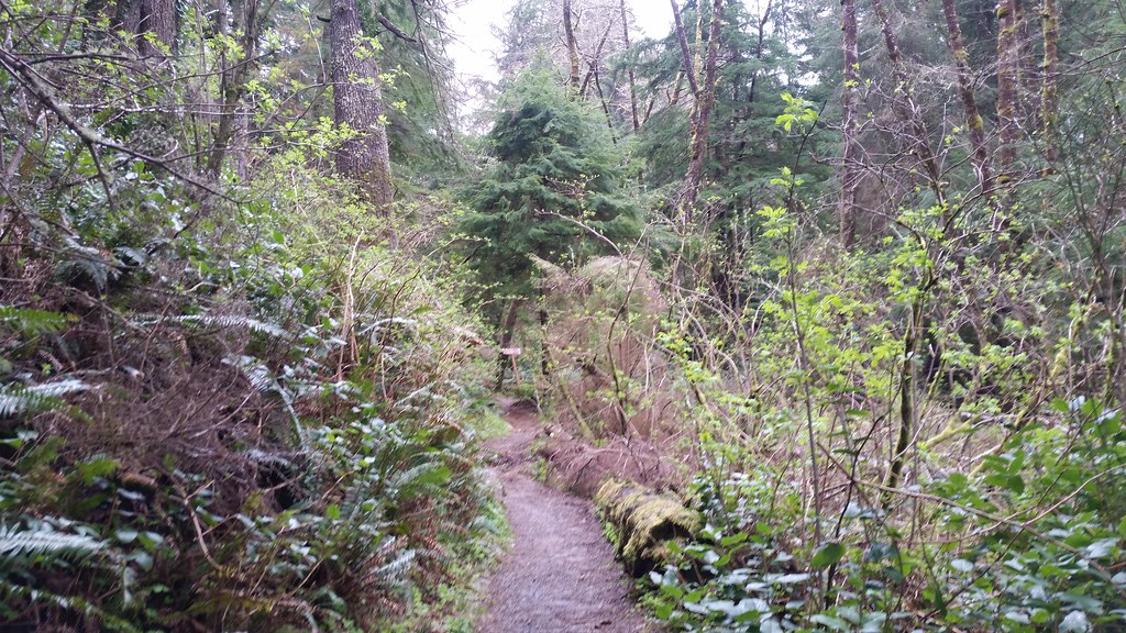 Lewis and Clark Discovery Trail - Oregon Coast TrailHiking · ~32 min drivePhoto: cifraser1, CC BY 2.0 (via Flickr)
 Short Sand Beach TrailHiking · ~8 min drivePhoto: Bobjgalindo, CC BY-SA 4.0 (via Wikimedia Commons)
- South Neah-Kah-Nie Mountain TrailHiking · ~6 min drivePhoto: Sam Beebe/Ecotrust, CC BY-SA 3.0 (via Wikimedia Commons)
 Salmonberry TrailHiking · ~17 min drivePhoto: gary_leavens, CC BY-SA 2.0 (via Flickr)
- Diamond Mill RidgeHiking · ~23 min drive
- Cape Falcon TrailHiking · ~9 min drivePhoto: Bobjgalindo, CC BY-SA 4.0 (via Wikimedia Commons)
 Oregon Coast TrailHiking · ~12 min drivePhoto: mjfmjfmjf, CC BY 2.0 (via Flickr)
Best time to visit Nehalem River Dike Trail
Best months: June–September. Best months have typical highs of 55–85 °F, lows of 30 °F or warmer (32 °F where the station doesn't record snow), at most one snowy day and no more than 12 wet days.
Jan
52° / 37°
22 wet
Feb
53° / 36°
19 wet
Mar
55° / 37°
21 wet
Apr
57° / 39°
19 wet
May
61° / 44°
15 wet
Jun
64° / 48°
12 wet
Jul
68° / 50°
7 wet
Aug
69° / 50°
7 wet
Sep
68° / 47°
11 wet
Oct
63° / 43°
17 wet
Nov
56° / 39°
22 wet
Dec
51° / 36°
23 wet
Typical high / low (°F) and days with rain or snow, 1991–2020. Measured at Tillamook, OR, 17.8 mi away at 12 ft. This station doesn't record snowfall. Source: NOAA NCEI U.S. Climate Normals 1991–2020.

Map and trail data © OpenStreetMap contributors
