Lava Camp Lake
Campground
Campground · 0.2 mi from the trail
 Photo: Greg Willis from Denver, CO, usa, CC BY-SA 2.0 (via Wikimedia Commons)
Closure in the area
There's a closure order in Deschutes National Forest. It doesn't name Millican Crater, so check the source for the area it covers.
West Bend Area Trail Closures
Agency closure covering Deschutes National Forest · USFS · Deschutes National Forest
Camping & Campfire Restrictions Forest Order
Agency alert covering Deschutes National Forest · Order 06-01-26-01 · USFS · Deschutes National Forest
Cave Resource Protection Forest Order
Agency alert covering Deschutes National Forest · Order 06-01-26-02 · USFS · Deschutes National Forest
Deschutes 14-Day Camping Order
Agency alert covering Deschutes National Forest · Order 06-01-25-01 · USFS · Deschutes National Forest
Wilderness Permit, Camping & Fire Restrictions Order
Agency alert covering Deschutes National Forest · Order 06-01-24-01 · USFS · Deschutes National Forest
As of · Source: USFS · Deschutes National Forest. Agencies don't list every closure — check before you go.
Millican Crater is a hard hike in the Three Sisters Wilderness, part of the Sisters Ranger District of Deschutes National Forest in Oregon. The Forest Service manages the land, and the trail is an out-and-back that starts at about 5,375 feet and climbs to about 5,853 feet, with a total gain of about 2,017 feet over the round trip. The steepest stretch comes early, around 0.8 miles in, with a grade of about 12 percent. The trail is on natural surface, and horses are allowed. Bikes are not. Lava Camp Lake campground sits just 0.2 miles away, and North Matthieu Lake and the Lava River NRT are both within a mile. Black Crater is about 1.8 miles off.
Lava Camp Lake
Campground
Clearwater Gallery
Gallery
Places © OpenStreetMap contributors
More in SistersNot on Roamze yet. Their page has how to reach them.
Photo: Greg Willis from Denver, CO, usa, CC BY-SA 2.0 (via Wikimedia Commons)Lava Camp Lake
Next door
0.40-mile out-and-back trail to Lava Camp Lake in Oregon
Photo: Greg Willis from Denver, CO, usa, CC BY-SA 2.0 (via Wikimedia Commons)North Matthieu Lake
~1 min drive
4.18-mile out-and-back to North Matthieu Lake in Oregon with 802 ft gain
 Photo: Robert Ashworth from Bellingham, WA., USA, CC BY 2.0 (via Wikimedia Commons)
Pct - Oregon Section F
~2 min drive
107.17-mile point-to-point trail in Oregon, managed by the Forest Service.
 Photo: Greg Willis from Denver, CO, usa, CC BY-SA 2.0 (via Wikimedia Commons)
Black Crater
~3 min drive
7.40-mile out-and-back trail in Oregon with 272 ft gain and 2,519 ft loss.
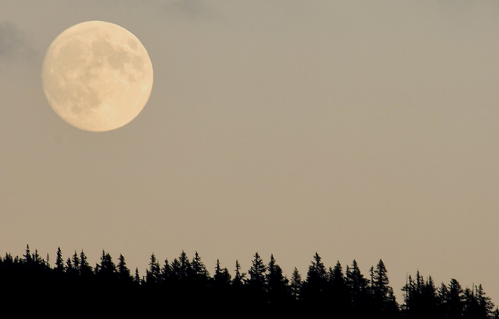 Photo: Forest Service Pacific Northwest Region, Public Domain Mark (via Flickr)
Lava River Nrt
~2 min drive
0.68-mile out-and-back trail in Oregon with 13 ft of elevation gain.
 Photo: U.S. Forest Service- Pacific Northwest Region, Public domain (via Wikimedia Commons)
Hand Lake
~9 min drive
5.60-mile out-and-back trail to Hand Lake in Oregon with 810 ft gain
 Photo: Bonnie Moreland (free images), Public Domain Mark (via Flickr)
Scott Trail #3531
~10 min drive
10.54-mile out-and-back trail in Oregon with 1,914 ft elevation gain/loss
 Photo: Forest Service Pacific Northwest Region, Public Domain Mark (via Flickr)
Scott Pass
~3 min drive
1.22-mile out-and-back trail at Scott Pass in Oregon.
Photo: U.S. Forest Service- Pacific Northwest Region, Public domain (via Wikimedia Commons)Scott Mountain
~12 min drive
3.20-mile out-and-back trail to Scott Mountain summit in Oregon.
Photo: U.S. Forest Service- Pacific Northwest Region, Public domain (via Wikimedia Commons)Benson Lake Trail #3502
~12 min drive
11.3-mile out-and-back hike in Oregon with 2,597 ft gain/loss and 5,538 ft max elevation.


