Middle Fork
- 12.9 mi
- round trip
- 3,169 ft
- climb
- 6,230 ft
- high point
- Out and back
- route
- Jun–Sep
- best months
Is Middle Fork open right now?
Closure in the area
There's a closure order in High Cascades Ranger District. It doesn't name Middle Fork, so check the source for the area it covers.
Upper Rogue Cooperative Travel Management Area (Green Dot)
Agency closure covering High Cascades Ranger District · Order 06-10-24-26-04 · USFS · High Cascades Ranger District
Fish Lake Boat Ramp Closure
Agency alert covering High Cascades Ranger District · Order 06-10-24-26-02 · USFS · High Cascades Ranger District
As of · Source: USFS · High Cascades Ranger District. Agencies don't list every closure — check before you go.
Middle Fork is a hard hike in the Sky Lakes Wilderness, part of the High Cascades Ranger District of the Rogue River-Siskiyou National Forests in southern Oregon. The Forest Service manages the land, and the trail is a natural-surface out-and-back that starts at about 3,700 feet and climbs to about 6,200 feet, with a total gain of about 3,170 feet over roughly 13 miles. The steepest stretch comes at about 5.7 miles in, where the grade reaches 36 percent. Summer is the most comfortable time to go. Typical averages from a nearby weather station at Crater Lake show July and August highs around 69°F with only about four wet days a month, while winter months bring highs in the low 30s and rain on most days. The trail is open to horses but not to bikes, and it is not accessible. Alta Lake lies about a mile away, and Halifax is about 2 miles off. Bessie Shelter and the Middle Fork Rogue River, a paddling route, are both within about 3 miles.
Local outfitters
- Sky Lakes Wilderness Adventures24 mi away
- The Fishin Hole Fly Shop28 mi away
Not on Roamze yet. Their page has how to reach them.
Best time to go · Jun–Sep
Best time to visit Middle Fork
Best months: June–September. Best months have typical highs of 55–85 °F, lows of 30 °F or warmer (32 °F where the station doesn't record snow), at most one snowy day and no more than 12 wet days.
Jan
33° / 20°
18 wet
Feb
34° / 19°
17 wet
Mar
36° / 20°
18 wet
Apr
40° / 23°
16 wet
May
49° / 29°
12 wet
Jun
57° / 34°
7 wet
Jul
69° / 41°
4 wet
Aug
69° / 42°
4 wet
Sep
63° / 37°
6 wet
Oct
51° / 30°
10 wet
Nov
38° / 23°
16 wet
Dec
33° / 19°
18 wet
Typical high / low (°F) and days with rain or snow, 1991–2020. Measured at Crater Lake Nps Hq, OR, 14.4 mi away at 6,485 ft. This station doesn't record snowfall. Source: NOAA NCEI U.S. Climate Normals 1991–2020.
Closures we've recorded since August 2026
Stage 2 Public Use Fire Restrictions (Forest-wide)
Rogue River-Siskiyou National Forests · Order dated September 4, 2026; seen Sep 3, 2026 → lifted Oct 28, 2026 · Forest Service
Stage 3 Public Use Fire Restrictions (Forest-wide)
Rogue River-Siskiyou National Forests · Order dated July 17, 2026; seen Aug 23, 2026 → lifted Sep 3, 2026 · Forest Service
Keep exploring — more trails worth the drive
 Photo: cm195902, CC BY 2.0 (via Flickr)
Lake Ivern
~9 min drive
3.69-mile out-and-back trail to Lake Ivern in Oregon with 292 ft gain.
Photo: cm195902, CC BY 2.0 (via Flickr)Rogue Wolf Loop
~10 min drive
An 18-mile point-to-point Oregon trail through Rogue River wilderness.
 Photo: cm195902, CC BY 2.0 (via Flickr)
Donna Lake
~15 min drive
1.60-mile out-and-back trail to Donna Lake in Oregon with 83 ft gain.
 Photo: Forest Service Pacific Northwest Region, Public Domain Mark (via Flickr)
South Fork Wilderness
~17 min drive
9.77-mile out-and-back trail in Oregon's South Fork Wilderness with 1,223 ft gain.
 Photo: U.S. Forest Service- Pacific Northwest Region, Public domain (via Wikimedia Commons)
Nannie Creek Trail
~14 min drive
1.81-mile out-and-back hike in Oregon with 995 ft gain
HIKE
THREEMILE LOOP
~17 min drive
17.06-mile out-and-back out-and-back in Oregon with 3,545 ft elevation gain
Photo: cm195902, CC BY 2.0 (via Flickr)SKY LAKES CUTOFF
~16 min drive
3.54-mile out-and-back trail in Oregon with 702 ft gain and loss.
HIKE
Halifax
~3 min drive
6-mile out-and-back trail in Oregon with 2,219 ft gain.
 Photo: U.S. Forest Service- Pacific Northwest Region, Public domain (via Wikimedia Commons)
Divide
~16 min drive
5.80-mile out-and-back trail in Oregon with 1,337 ft elevation gain.
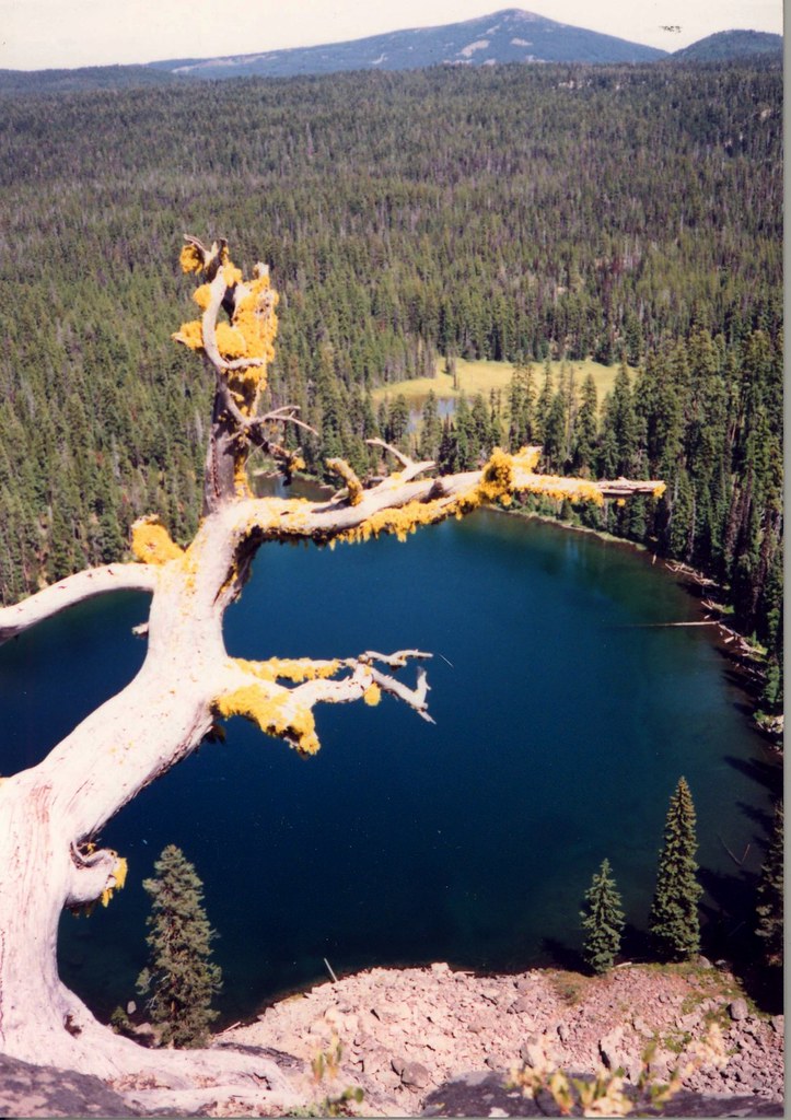 Photo: Forest Service Pacific Northwest Region, Public Domain Mark (via Flickr)
Sky Lakes Cutoff Trail
~18 min drive
3.62-mile out-and-back trail in Oregon with 727 ft elevation gain and loss.
