Sky Lakes Cutoff
 Photo: cm195902, CC BY 2.0 (via Flickr)
- 1.8 mi
- round trip
- 702 ft
- climb
- 6,601 ft
- high point
- Out and back
- route
- Jun–Sep
- best months
Is SKY LAKES CUTOFF open right now?
No closures listed
The Forest Service lists no closures for Fremont-Winema National Forest.
As of · Source: USFS · Fremont-Winema National Forest. Agencies don't list every closure — check before you go.
Sky Lakes Cutoff is an easy out-and-back hike of about 3.5 miles in Oregon's Sky Lakes Wilderness, within the Klamath Ranger District of the Fremont-Winema National Forest. The Forest Service manages the land, and the route starts and ends at about 6,601 feet, with a rolling climb that reaches a high point of 6,601 feet and a low of 6,055 feet. The total elevation gain is about 700 feet, and the steepest stretch comes early, around 0.22 miles in, with a grade of about 16 percent. Summer is the most comfortable time to go. Typical averages from a nearby weather station at a similar elevation show July and August highs around 69°F with only about four wet days a month, while winter months bring highs in the low 30s and rain on most days. The hike takes about 1.5 hours. Other trails close by include Divide, Donna Lake and Isherwood, and Lower South Fork Campground is about 6.8 miles away.
Local outfitters
- Sky Lakes Wilderness Adventures18 mi away
- The Fishin Hole Fly Shop30 mi away
Not on Roamze yet. Their page has how to reach them.
 DivideHikingPhoto: U.S. Forest Service- Pacific Northwest Region, Public domain (via Wikimedia Commons)1.2 mi
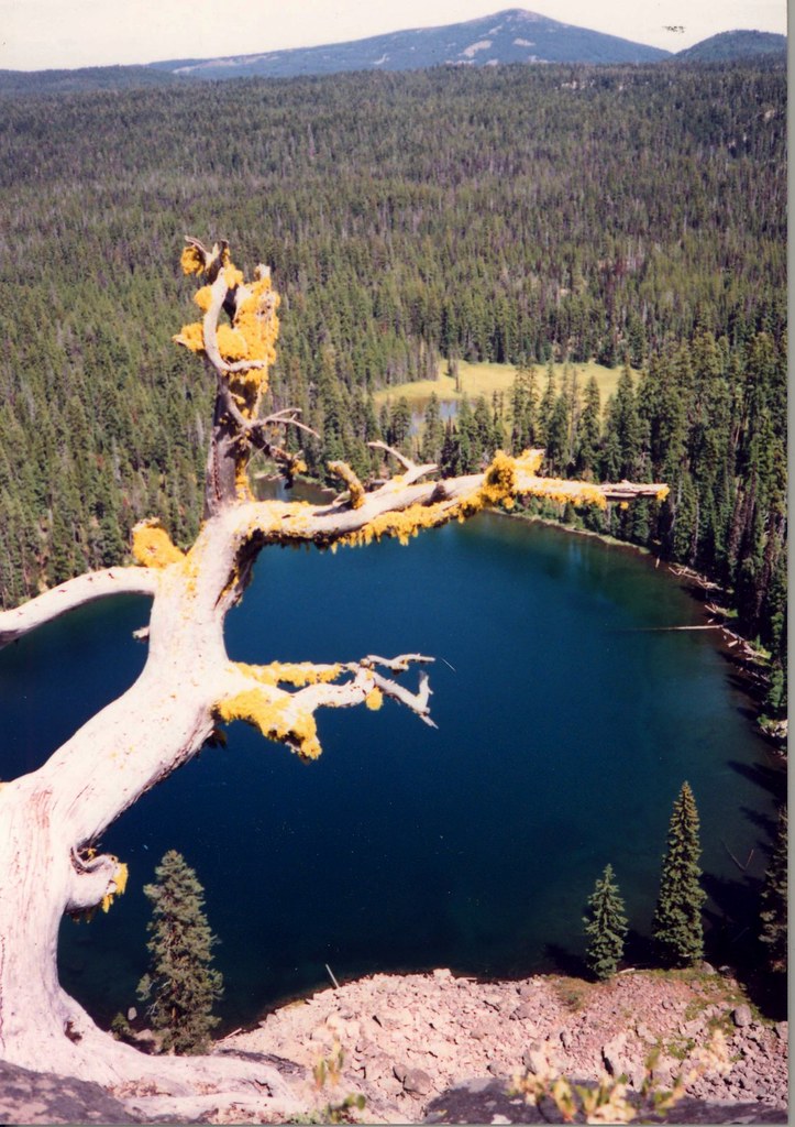 Sky Lakes Cutoff TrailHikingPhoto: Forest Service Pacific Northwest Region, Public Domain Mark (via Flickr)1.4 mi
- Donna LakeHikingPhoto: cm195902, CC BY 2.0 (via Flickr)1.4 mi
- IsherwoodHikingPhoto: U.S. Forest Service- Pacific Northwest Region, Public domain (via Wikimedia Commons)1.7 mi
- South Rock Creek TrailHikingPhoto: U.S. Forest Service- Pacific Northwest Region, Public domain (via Wikimedia Commons)2 mi
- Lower South Fork CampgroundCamping6.8 mi
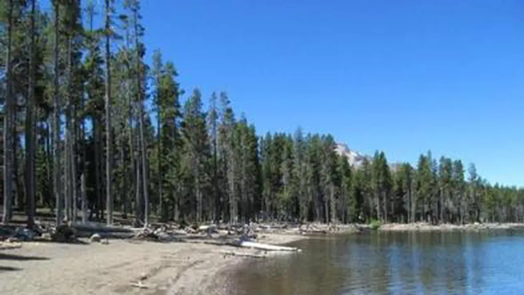 Fourmile Lake CampgroundCampingPhoto: Recreation.gov (RIDB) / public domain8.6 mi
- Lodgepole Guard StationCamping9.1 mi
Source: Roamze catalog (indexable pages within 10 miles, PostGIS distance)
- DivideHiking · ~2 min drivePhoto: U.S. Forest Service- Pacific Northwest Region, Public domain (via Wikimedia Commons)
- Donna LakeHiking · ~2 min drivePhoto: cm195902, CC BY 2.0 (via Flickr)
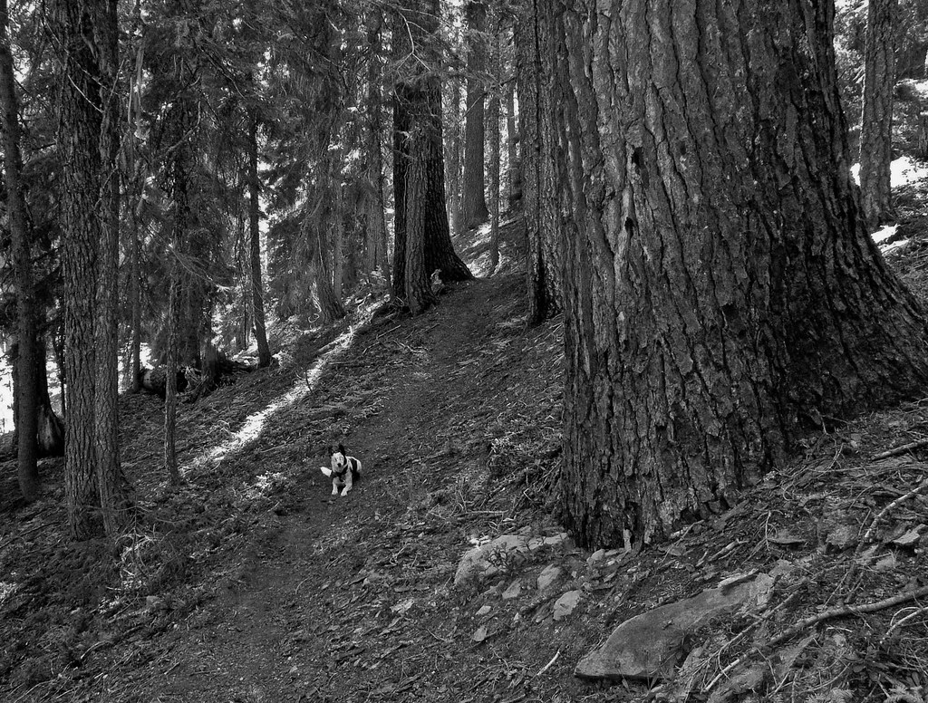 Snow LakesHiking · ~3 min drivePhoto: ex_magician, CC BY 2.0 (via Flickr)
 Rogue Wolf LoopHiking · ~8 min drivePhoto: cm195902, CC BY 2.0 (via Flickr)
 Cold Spring TrailHiking · ~4 min drivePhoto: ex_magician, CC BY 2.0 (via Flickr)
- IsherwoodHiking · ~3 min drivePhoto: U.S. Forest Service- Pacific Northwest Region, Public domain (via Wikimedia Commons)
 South Fork WildernessHiking · ~6 min drivePhoto: Forest Service Pacific Northwest Region, Public Domain Mark (via Flickr)
- DIAMOND LAKE SNOMOHiking · ~7 min drive
 Nannie Creek TrailHiking · ~4 min drivePhoto: U.S. Forest Service- Pacific Northwest Region, Public domain (via Wikimedia Commons)
- South Rock Creek TrailHiking · ~3 min drivePhoto: U.S. Forest Service- Pacific Northwest Region, Public domain (via Wikimedia Commons)
Also worth it near here
 Sky Lakes CutoffMountain biking · ~1 min drivePhoto: U.S. Forest Service- Pacific Northwest Region, Public domain (via Wikimedia Commons)
- White Pine LakeLake fishing · ~3 min drive
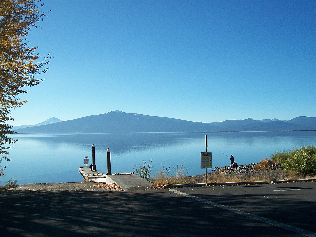 Pelican ButteSummit · ~11 min drivePhoto: Bobjgalindo, CC BY-SA 4.0 (via Wikimedia Commons)
- Malone Springs Boat LaunchBoat launch · ~14 min drive
Best time to visit SKY LAKES CUTOFF
Best months: June–September. Best months have typical highs of 55–85 °F, lows of 30 °F or warmer (32 °F where the station doesn't record snow), at most one snowy day and no more than 12 wet days.
Jan
33° / 20°
18 wet
Feb
34° / 19°
17 wet
Mar
36° / 20°
18 wet
Apr
40° / 23°
16 wet
May
49° / 29°
12 wet
Jun
57° / 34°
7 wet
Jul
69° / 41°
4 wet
Aug
69° / 42°
4 wet
Sep
63° / 37°
6 wet
Oct
51° / 30°
10 wet
Nov
38° / 23°
16 wet
Dec
33° / 19°
18 wet
Typical high / low (°F) and days with rain or snow, 1991–2020. Measured at Crater Lake Nps Hq, OR, 21.6 mi away at 6,485 ft. This station doesn't record snowfall. Source: NOAA NCEI U.S. Climate Normals 1991–2020.
