Metolius-Windigo Trail
- 2.1 mi
- round trip
- 839 ft
- climb
- 4,952 ft
- high point
- Out and back
- route
- May–Oct
- best months
Is Metolius-Windigo Trail open right now?
Closure in the area
There's a closure order in Deschutes National Forest. It doesn't name Metolius-Windigo Trail, so check the source for the area it covers.
West Bend Area Trail Closures
Agency closure covering Deschutes National Forest · USFS · Deschutes National Forest
Camping & Campfire Restrictions Forest Order
Agency alert covering Deschutes National Forest · Order 06-01-26-01 · USFS · Deschutes National Forest
Cave Resource Protection Forest Order
Agency alert covering Deschutes National Forest · Order 06-01-26-02 · USFS · Deschutes National Forest
Deschutes 14-Day Camping Order
Agency alert covering Deschutes National Forest · Order 06-01-25-01 · USFS · Deschutes National Forest
Wilderness Permit, Camping & Fire Restrictions Order
Agency alert covering Deschutes National Forest · Order 06-01-24-01 · USFS · Deschutes National Forest
As of · Source: USFS · Deschutes National Forest. Agencies don't list every closure — check before you go.
The Metolius-Windigo Trail is an out-and-back hike of about 4 miles in the Crescent Ranger District of Deschutes National Forest in central Oregon. The Forest Service manages the surrounding land, and the trail's high point is about 4,950 feet, with the low point at roughly 4,500 feet. The climb is back-loaded, with the steepest stretch at about 1.4 miles in, where the grade reaches 15 percent. The total round-trip gain is about 840 feet, and the route is rated easy, so it works well as a day hike that fits into a few hours. Summer is the most comfortable time to go. At the nearby Odell Lake weather station, typical July and August highs average around 73 to 74°F, with only about three wet days a month. Winter brings highs in the mid-30s and regular snow from December through March. East Davis Campground and East Davis Lake are both about 3.3 miles away, and the Maklaks Loop B hike is about 2.6 miles off. Odell Lake, roughly 5.4 miles away, offers fishing.
Local outfitters
- Shelter Cove Resort & Marina8 mi away
- Diamond Lake Resort31 mi away
Not on Roamze yet. Their page has how to reach them.
- MAKLAKS LOOP BHiking2.6 mi
 MAKLAKS NORDIC LOOPHikingPhoto: functoruser, CC BY 2.0 (via Flickr)3.1 mi
 East Davis CampgroundCampingPhoto: Recreation.gov (RIDB) / public domain3.3 mi
- East Davis LakeCamping3.3 mi
- West Davis LakeCamping3.6 mi
- Sunset Cove NordicCross-country skiing3.6 mi
- Odell LakeLake fishing5.4 mi
- Crescent CreekCanoeing5.5 mi
Source: Roamze catalog (indexable pages within 10 miles, PostGIS distance)
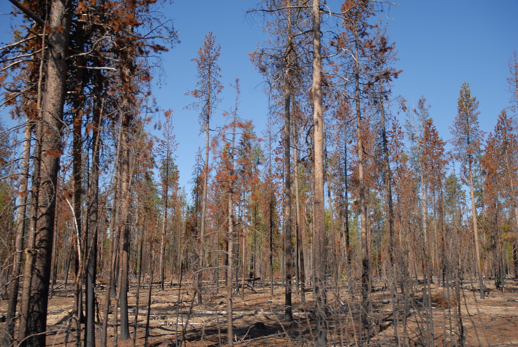 Metolius-Windigo TrailHiking · ~5 min drivePhoto: holisticmonkey, CC BY 2.0 (via Flickr)
- MAKLAKS NORDIC LOOPHiking · ~5 min drivePhoto: functoruser, CC BY 2.0 (via Flickr)
 ROYCE MOUNTAIN LOOPHiking · ~6 min drivePhoto: Northwest Rafting Company, CC BY 2.0 (via Flickr)
 Pct - Oregon Section EHiking · ~14 min drivePhoto: Bruce Fingerhood from Springfield, Oregon, US, CC BY 2.0 (via Wikimedia Commons)
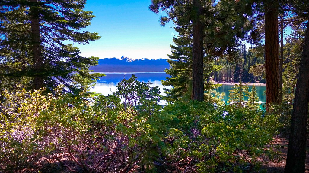 CRESCENT LAKE LOOP EASTHiking · ~8 min drivePhoto: Forest Service Pacific Northwest Region, Public Domain Mark (via Flickr)
 Skyline Bike Trail #4383Hiking · ~13 min drivePhoto: Šarūnas Burdulis from USA, CC BY-SA 2.0 (via Wikimedia Commons)
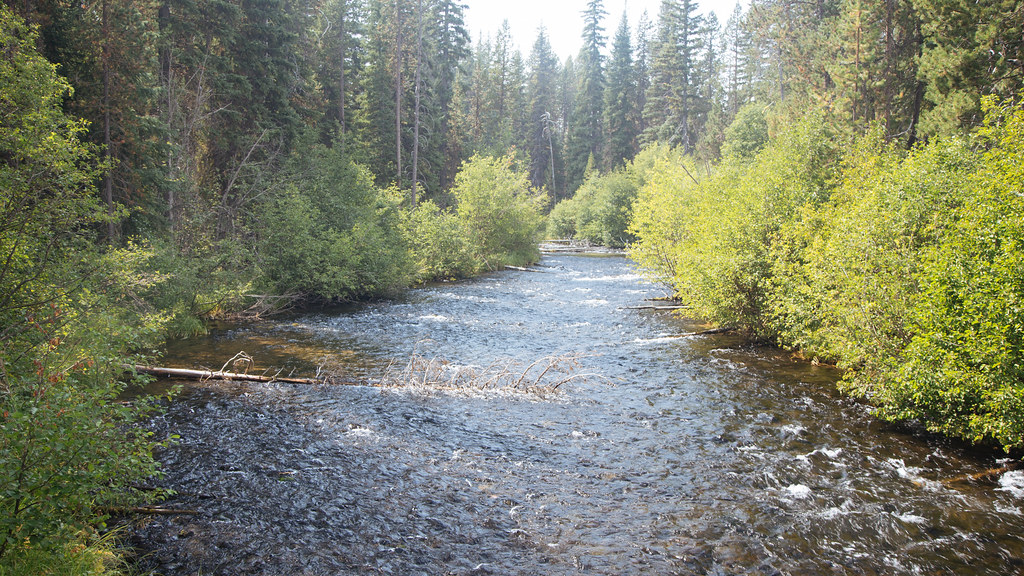 Metolius-Windigo TrailHiking · ~8 min drivePhoto: Northwest Rafting Company, CC BY 2.0 (via Flickr)
 WHITEFISH CREEKHiking · ~15 min drivePhoto: lamblukas, CC BY 2.0 (via Flickr)
- SimaxHiking · ~9 min drivePhoto: Forest Service Pacific Northwest Region, Public Domain Mark (via Flickr)
- Yoran Lake TrailHiking · ~15 min drivePhoto: lamblukas, CC BY 2.0 (via Flickr)
Best time to visit Metolius-Windigo Trail
Best months: May–October. Best months have typical highs of 55–85 °F, lows of 30 °F or warmer (32 °F where the station doesn't record snow), at most one snowy day and no more than 12 wet days.
Jan
35° / 20°
14 wet · 10 snow
Feb
38° / 21°
13 wet · 9 snow
Mar
42° / 24°
14 wet · 8 snow
Apr
46° / 28°
11 wet · 4 snow
May
55° / 34°
9 wet · 1 snow
Jun
63° / 38°
6 wet
Jul
73° / 44°
3 wet
Aug
74° / 42°
3 wet
Sep
68° / 36°
5 wet
Oct
55° / 30°
9 wet · 1 snow
Nov
41° / 26°
14 wet · 6 snow
Dec
34° / 20°
15 wet · 10 snow
Typical high / low (°F) and days with rain or snow, 1991–2020. Measured at Odell Lake-East, OR, 3.7 mi away at 4,800 ft. Source: NOAA NCEI U.S. Climate Normals 1991–2020.
Map and trail data © OpenStreetMap contributors
