Big Pool Cg
Campground
The next 8 weekends are full on Recreation.gov
Closure in the area
There's a closure order in Detroit Ranger District. It doesn't name Maxwell Butte, so check the source for the area it covers (2 listed).
Beachie Creek and Lionshead Fires Closure
Agency closure covering Detroit Ranger District · Order 06-18-04-26-14 · USFS · Detroit Ranger District
Cedar Creek Fire Closure
Agency closure covering Willamette National Forest · Order 06-18-10-26-04 · USFS · Willamette National Forest
FIRE CLOSURES: Current wildfire closures on the Willamette National Forest
Agency alert covering Willamette National Forest · USFS · Willamette National Forest
As of · Source: USFS · Detroit Ranger District. Agencies don't list every closure — check before you go.
Maxwell Butte is a 4.4-mile out-and-back hike in the Detroit Ranger District of Oregon's Willamette National Forest, managed by the Forest Service. It gains about 1,145 feet, with the high point at 5,473 feet, and is rated moderate. The trail is natural-surfaced and allows horses, which makes it a good choice for riders. The climb starts at around 4,405 feet and peaks near 5,473 feet, with the steepest stretch coming around 1.7 miles in, where the grade reaches about 15%. The route is front-loaded, meaning the most ascent happens early on. The trip is estimated to take about two hours, and the trail is open year-round. Nearby, the Maxwell Loop sits just 0.1 mile away and the Park Loop about 0.6 mile off. Lava Lakes is roughly 0.9 mile away, and Big Pool Campground offers camping about 2.6 miles from the trail.
Big Pool Cg
Campground
Hoodoo Mountain Resort
Restaurant
Kiwanis club
Attraction
Places © OpenStreetMap contributors
More in SistersNot on Roamze yet. Their page has how to reach them.
 Photo: Forest Service Pacific Northwest Region, Public Domain Mark (via Flickr)
BIG SPRINGS LOOP
~3 min drive
6.64-mile out-and-back trail in Oregon with 1,742 ft elevation gain.
Photo: Forest Service Pacific Northwest Region, Public Domain Mark (via Flickr)SOUTH SPRINGS LOOP
~4 min drive
1.18-mile out-and-back trail in Oregon with 388 ft elevation gain.
HIKE
MAXWELL LOOP
Next door
15.74-mile out-and-back out-and-back in Oregon with 3,135 ft gain/loss
HIKE
Duffy Lake
~4 min drive
Moderate out-and-back hike to alpine Duffy Lake in Oregon.
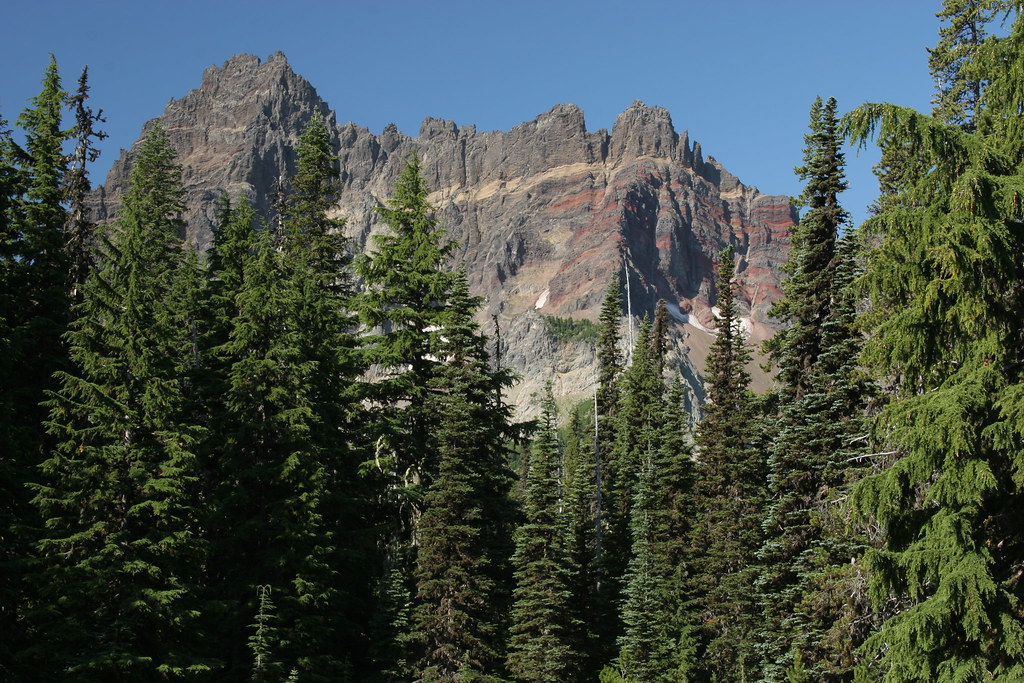 Photo: Forest Service Pacific Northwest Region, Public Domain Mark (via Flickr)
Three-Fingered Jack Climbers Trail
~9 min drive
1.06-mile out-and-back trail in Oregon with 1,227 ft elevation gain.
Photo: Forest Service Pacific Northwest Region, Public Domain Mark (via Flickr)LAVA LAKE ACCESS EAST
~4 min drive
3.58-mile out-and-back trail to Lava Lake with 477 ft elevation gain
HIKE
TRAIL #55 - PYRAMID LOOP
~8 min drive
36.22-mile out-and-back trail in Oregon with 5,508 ft elevation gain and loss.
HIKE
HASH BROWN LOOP
~5 min drive
8.04-mile out-and-back trail in Oregon with 2,718 ft elevation gain and loss.
HIKE
Lava Lakes
~2 min drive
5.64-mile out-and-back trail in Oregon with 559 ft gain.
HIKE
PARK LOOP
~1 min drive
1.43-mile loop in Oregon with 393 ft elevation gain and loss.
Also worth it near here
