Lake Simtustus Hiking Trail
- 1.8 mi
- round trip
- 1,512 ft
- climb
- 1,936 ft
- high point
- Out and back
- route
- Apr–Jun, Sep–Oct
- best months
Lake Simtustus Hiking Trail is a 3.66-mile out-and-back trail in Oregon with 1,134 feet of elevation gain. The route follows a path to Lake Simtustus, offering views of the lake and surrounding landscape.
Local outfitters
- Expedition Old Growth32 mi away
- Oregon Territory Outfitters32 mi away
Not on Roamze yet. Their page has how to reach them.
- Brandon's CliffRock climbing4.6 mi
- Willow CreekRock climbing4.7 mi
- Twin CracksRock climbing4.8 mi
- Mecca Flat CampgroundCamping5.8 mi
- Trout Creek TrailHiking6.5 mi
- Jackson TrailHiking7.8 mi
- Cool Wall TrailHiking9.4 mi
- The Cool WallRock climbing9.6 mi
Source: Roamze catalog (indexable pages within 10 miles, PostGIS distance)
 Beach TrailHiking · ~17 min drivePhoto: Ken Lund from Reno, Nevada, USA, CC BY-SA 2.0 (via Wikimedia Commons)
 Crooked River Rim TrailHiking · ~17 min drivePhoto: Ian Poellet, CC BY-SA 3.0 (via Wikimedia Commons)
- Tam-A-LauHiking · ~19 min drivePhoto: Ian Poellet, CC BY-SA 3.0 (via Wikimedia Commons)
- RIDGE RIDER - COLE LOOPHiking · ~30 min drive
 Green TrailHiking · ~21 min drivePhoto: javier,godinez,valer…, CC BY-SA 3.0 (via Wikimedia Commons)
- Yellow TrailHiking · ~21 min drivePhoto: javier,godinez,valer…, CC BY-SA 3.0 (via Wikimedia Commons)
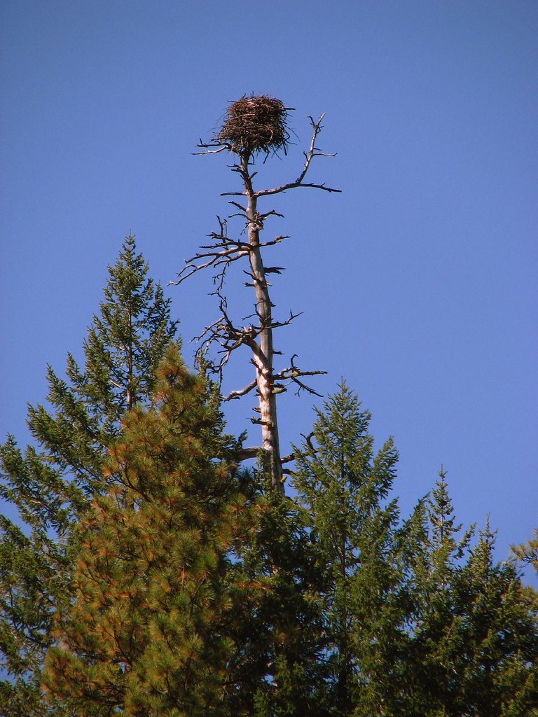 Green RidgeHiking · ~35 min drivePhoto: DBerry2006, CC BY 2.0 (via Flickr)
- Cole Loop Trail #854Hiking · ~35 min drive
- Red TrailHiking · ~21 min drivePhoto: javier,godinez,valer…, CC BY-SA 3.0 (via Wikimedia Commons)
 Blue TrailHiking · ~21 min drivePhoto: javier,godinez,valer…, CC BY-SA 3.0 (via Wikimedia Commons)
Also worth it near here
Best time to visit Lake Simtustus Hiking Trail
Best months: April–June and September–October. Best months have typical highs of 55–85 °F, lows of 30 °F or warmer (32 °F where the station doesn't record snow), at most one snowy day and no more than 12 wet days.
Jan
43° / 27°
12 wet
Feb
49° / 28°
10 wet
Mar
57° / 31°
9 wet
Apr
64° / 35°
8 wet
May
73° / 43°
7 wet
Jun
81° / 48°
5 wet
Jul
92° / 53°
3 wet
Aug
91° / 53°
2 wet
Sep
82° / 46°
3 wet
Oct
67° / 37°
7 wet
Nov
51° / 31°
10 wet
Dec
42° / 27°
12 wet
Typical high / low (°F) and days with rain or snow, 1991–2020. Measured at Pelton Dam, OR, 2.9 mi away at 1,410 ft. The station sits about 500 ft lower than this place, so expect it a little cooler here. This station doesn't record snowfall. Source: NOAA NCEI U.S. Climate Normals 1991–2020.

Map and trail data © OpenStreetMap contributors
