Trout Creek Trail
- 7.1 mi
- round trip
- 1,387 ft
- climb
- 1,388 ft
- high point
- Out and back
- route
- Apr–Jun, Sep–Oct
- best months
Trout Creek Trail is an easy out-and-back hike on Bureau of Land Management land in Oregon's Deschutes River Segment E. The route runs about 14.3 miles round trip, with a one-way climb of 112 feet from a starting elevation of 1,345 feet to a high point of 1,388 feet. The steepest stretch comes early, at about 0.2 miles from the start, with a 19% grade. For the most comfortable conditions, aim for late spring or early fall. Typical averages from the nearby Pelton Dam weather station show May highs around 73°F and September highs around 82°F, while July and August average in the low 90s. Bikes are allowed on this trail, but horses are not. Mecca Flat Campground sits just 0.7 miles away, and Trout Creek Campground is about 5.8 miles off. Climbers can find The Cool Wall about 4.6 miles away and The Main Wall about 4.9 miles away.
Local outfitters
- Imperial River Company28 mi away
- Expedition Old Growth38 mi away
Not on Roamze yet. Their page has how to reach them.
- Mecca Flat CampgroundCamping0.7 mi
- Cool Wall TrailHiking4.4 mi
- The Cool WallRock climbing4.6 mi
- South Main Wall TrailHiking4.8 mi
- The Main WallRock climbing4.9 mi
- The Northern EndRock climbing4.9 mi
- North Main Wall TrailHiking5.1 mi
- Trout Creek CampgroundCamping5.8 mi
Source: Roamze catalog (indexable pages within 10 miles, PostGIS distance)
 Green TrailHiking · ~10 min drivePhoto: javier,godinez,valer…, CC BY-SA 3.0 (via Wikimedia Commons)
- Yellow TrailHiking · ~10 min drivePhoto: javier,godinez,valer…, CC BY-SA 3.0 (via Wikimedia Commons)
 Tam-A-LauHiking · ~30 min drivePhoto: Ian Poellet, CC BY-SA 3.0 (via Wikimedia Commons)
- RIDGE RIDER - COLE LOOPHiking · ~40 min drive
- Red TrailHiking · ~10 min drivePhoto: javier,godinez,valer…, CC BY-SA 3.0 (via Wikimedia Commons)
 Blue TrailHiking · ~10 min drivePhoto: javier,godinez,valer…, CC BY-SA 3.0 (via Wikimedia Commons)
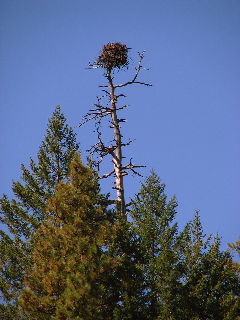 Green RidgeHiking · ~43 min drivePhoto: DBerry2006, CC BY 2.0 (via Flickr)
- Cole Loop Trail #854Hiking · ~45 min drive
 Beach TrailHiking · ~27 min drivePhoto: Ken Lund from Reno, Nevada, USA, CC BY-SA 2.0 (via Wikimedia Commons)
- Crooked River Rim TrailHiking · ~28 min drivePhoto: Ian Poellet, CC BY-SA 3.0 (via Wikimedia Commons)
Also worth it near here
- Warm Springs Boat RampBoat launch · ~3 min drive
- The Cool WallRock climbing · ~8 min drive
 Trout CreekCanoeing · ~38 min drivePhoto: Demis Map Server, Little Mountain 5, CC BY-SA 3.0 (via Wikimedia Commons)
 Otter BenchMountain biking · ~38 min drivePhoto: Bureau of Land Management Oregon and Washington from Portland, America, Public domain (via Wikimedia Commons)
Best time to visit Trout Creek Trail
Best months: April–June and September–October. Best months have typical highs of 55–85 °F, lows of 30 °F or warmer (32 °F where the station doesn't record snow), at most one snowy day and no more than 12 wet days.
Jan
43° / 27°
12 wet
Feb
49° / 28°
10 wet
Mar
57° / 31°
9 wet
Apr
64° / 35°
8 wet
May
73° / 43°
7 wet
Jun
81° / 48°
5 wet
Jul
92° / 53°
3 wet
Aug
91° / 53°
2 wet
Sep
82° / 46°
3 wet
Oct
67° / 37°
7 wet
Nov
51° / 31°
10 wet
Dec
42° / 27°
12 wet
Typical high / low (°F) and days with rain or snow, 1991–2020. Measured at Pelton Dam, OR, 4.3 mi away at 1,410 ft. This station doesn't record snowfall. Source: NOAA NCEI U.S. Climate Normals 1991–2020.
