Ainsworth Campground
Campground
Campground · 2.6 mi from the trail
 Photo: OregonDOT, CC BY 2.0 (via Flickr)
Alert in the area
The Forest Service lists an alert for Columbia River Gorge National Scenic Area.
Eagle Creek Fire Area Closure - CRGNSA and Mt. Hood
Agency alert covering Columbia River Gorge National Scenic Area · Order 06-22-01-26-04 · USFS · Columbia River Gorge National Scenic Area
As of · Source: USFS · Columbia River Gorge National Scenic Area. Agencies don't list every closure — check before you go.
Moffett Creek is a 2.8-mile out-and-back hike in Oregon's Columbia River Gorge National Scenic Area, managed by the Forest Service. The trail rises from about 2,977 feet to about 3,629 feet, with a total elevation gain of 674 feet. The climb is rated easy, and the steepest stretch comes early, around 0.37 miles in, with a grade of about 24%. The route makes a straightforward day in the Gorge. Two other hikes, Horsetail Creek and Nesmith Point, both sit about 0.4 miles away, so it's easy to pair them with this one. For a longer outing, Oneonta Creek offers canoeing about 3 miles off, and the Columbia Pearl climbing area is about 3.3 miles away.
Ainsworth Campground
Campground
Trailhead Taproom & Outdoor Store
Bar
 If it rainsIan Poellet, CC BY-SA 4.0 · Wikimedia Commons
Places © OpenStreetMap contributors · Photos: Ian Poellet, CC BY-SA 4.0 (commons)
More in Mount Hood VillagesNot on Roamze yet. Their page has how to reach them.
Photo: OregonDOT, CC BY 2.0 (via Flickr)Horsetail Creek
Next door
9.95-mile out-and-back trail in Oregon with 635 ft gain and 2,815 ft loss.
Photo: OregonDOT, CC BY 2.0 (via Flickr)Nesmith Point
Next door
2.20-mile out-and-back trail in Oregon with 3,480 ft gain.
 Photo: Ian Sane, CC BY 2.0 (via Flickr)
Upper McCord Creek Falls Trail
~4 min drive
1.22-mile out-and-back trail with 1,325 ft gain in Oregon.
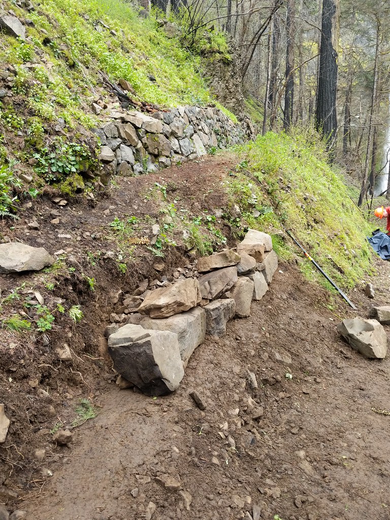 Photo: Forest Service Pacific Northwest Region, Public Domain Mark (via Flickr)
Nesmith Point
~4 min drive
7.84-mile out-and-back trail in Oregon with 3,388 ft gain.
 Photo: mjfmjfmjf, CC BY 2.0 (via Flickr)
Horsetail Falls
~5 min drive
Short out-and-back hike to a dramatic 176-foot waterfall in the Columbia River Gorge.
 Photo: Šarūnas Burdulis from USA, CC BY-SA 2.0 (via Wikimedia Commons)
Bell Creek
~6 min drive
4.88-mile out-and-back trail in Oregon with 621 ft elevation gain.
 Photo: Šarūnas Burdulis, CC BY-SA 2.0 (via Wikimedia Commons)
Multnomah Creek Way
~7 min drive
6.00-mile out-and-back trail in Oregon with 1,050 ft gain.
 Photo: mjfmjfmjf, CC BY 2.0 (via Flickr)
Sams Walker Loop
~6 min drive
0.46-mile loop trail in Oregon, 0.46 miles, loop.
 Photo: mjfmjfmjf, CC BY 2.0 (via Flickr)
WAHCLELLA FALLS
~7 min drive
1.78-mile out-and-back trail to Wahclella Falls in Oregon with 1,230 ft elevation gain.
 Photo: Robert Ashworth from Bellingham, WA., USA, CC BY 2.0 (via Wikimedia Commons)
Hamilton Mountain Trail
~8 min drive
4.6-mile out-and-back hike in Washington with 3,131 ft elevation gain and loss.

