Hart Bar Interpretive Trail
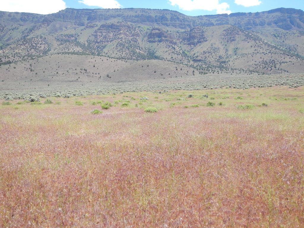 Photo: Matt Lavin, CC BY-SA 2.0 (via Flickr)
- 1.6 mi
- round trip
- 19 ft
- climb
- 4,479 ft
- high point
- Out and back
- route
- May–Sep
- best months
Hart Bar Interpretive Trail is a short, easy out-and-back hike on Bureau of Land Management land in the Lakeview District Lakeview Field Office, about 1.5 miles from Lakeview, Oregon. The trail is just over 3 miles long and stays almost perfectly flat, with a total climb of about 19 feet one way. That makes it a simple route for a walk that fits easily into a short trip to the area. The most comfortable months are typically June and July, when typical averages from a nearby weather station at Hart Mtn Refuge run from a high of about 72°F to 83°F. That station sits roughly 1,100 feet higher than the trail, so temperatures here run a little warmer. Winters are cold, with typical January highs around 41°F and lows near 22°F. The Oregon Desert Trail passes about 8 miles away and offers a longer hike for those who want to extend their outing.
Best time to go · May–Sep
Best time to visit Hart Bar Interpretive Trail
Best months: May–September. Best months have typical highs of 55–85 °F, lows of 30 °F or warmer (32 °F where the station doesn't record snow), at most one snowy day and no more than 12 wet days.
Jan
41° / 22°
Feb
42° / 21°
Mar
48° / 25°
Apr
53° / 28°
May
62° / 35°
Jun
72° / 40°
Jul
83° / 47°
Aug
82° / 46°
Sep
74° / 39°
Oct
61° / 31°
Nov
47° / 24°
Dec
39° / 19°
Typical high / low (°F) and days with rain or snow, 1991–2020. Measured at Hart Mtn Refuge, OR, 11.3 mi away at 5,618 ft. The station sits about 1,100 ft higher than this place, so expect it a little warmer here. This station doesn't record snowfall. Source: NOAA NCEI U.S. Climate Normals 1991–2020.
Keep exploring — more trails worth the drive
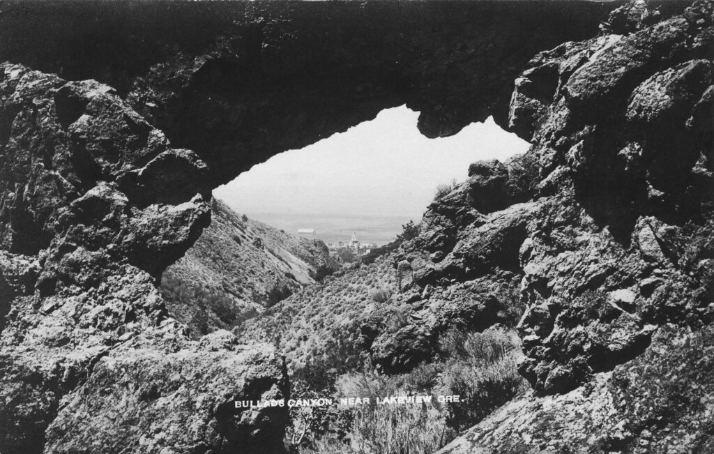 Photo: OSU Special Collections & Archives : Commons, No known copyright restrictions (via Flickr)
Bullard Canyon Trail
~54 min drive
3.33-mile out-and-back trail in Oregon with 1,315 ft gain.
 Photo: U.S. Forest Service- Pacific Northwest Region, Public domain (via Wikimedia Commons)
Lakes Loop
~1h 24m drive
14-mile loop trail in Oregon with 1,412 ft elevation gain.
Photo: U.S. Forest Service- Pacific Northwest Region, Public domain (via Wikimedia Commons)Lakes Loop Tie
~1h 25m drive
Lakes Loop Tie is a 0.40-mile lollipop trail in Oregon with 149 feet of elevation gain.
HIKE
Crane Mtn. Nat'l Rec Trail
~52 min drive
21.71-mile out-and-back trail in Oregon with 4,544 ft elevation gain.
Photo: U.S. Forest Service- Pacific Northwest Region, Public domain (via Wikimedia Commons)Dead Cow Trail
~1h 25m drive
3.80-mile out-and-back trail in Oregon with 13 ft gain and 666 ft loss
HIKE
SPUR TO DRAKE PEAK
~38 min drive
10.7-mile out-and-back to Drake Peak in Oregon with 2,105 ft gain/loss.
HIKE
Oregon Desert Trail
~13 min drive
4.52-mile out-and-back trail in Oregon with 233 ft elevation gain/loss.
HIKE
Southern Oregon Intertie Trail
~29 min drive
17.73-mile out-and-back trail in Oregon with 3,027 ft gain.
HIKE
Rogger Peak Loop
~50 min drive
4.50-mile out-and-back trail in Oregon with 895 ft elevation gain.
HIKE
NORDIC TRAIL #146D
~49 min drive
13.08-mile loop trail in Oregon with 1,478 ft elevation gain.
