Crane Mtn. Nat'l Rec Trail
- 21.7 mi
- round trip
- 6,933 ft
- climb
- 8,228 ft
- high point
- Out and back
- route
Is Crane Mtn. Nat'l Rec Trail open right now?
No closures listed
The Forest Service lists no closures for Fremont-Winema National Forest.
As of · Source: USFS · Fremont-Winema National Forest. Agencies don't list every closure — check before you go.
Crane Mtn. Nat'l Rec Trail is a 21.7-mile expert-level hike in the Lakeview Ranger District of Oregon's Fremont-Winema National Forest, managed by the Forest Service. The trail is an out-and-back route that climbs from about 6,934 feet to a high point of 8,228 feet, with a total elevation gain of 6,933 feet over the round trip. The one-way climb is about 4,345 feet. The trail is open to both horses and bikes, so riders and pack animals can join the trip. The route is long and steep, and the high point sits well above the starting elevation. Nearby, the Crane Mountain National Recreation Trail and Rogger Peak Loop both lie about 0.9 miles away, and the SPUR THRU BALLARD CANYON is about 1.3 miles off. For an overnight base, Twin Springs Campground is about 2.6 miles away.
- Crane Mountain National Recreation TrailHiking0.9 mi
- Rogger Peak LoopHiking0.9 mi
- SPUR THRU BALLARD CANYONHiking1.3 mi
- NORDIC TRAIL #146DHiking1.3 mi
- Twin Springs CampgroundCamping2.6 mi
- Willow CreekCamping5.3 mi
- Deep Creek Forest CampCamping8 mi
- Mud CreekCamping9.4 mi
Source: Roamze catalog (indexable pages within 10 miles, PostGIS distance)
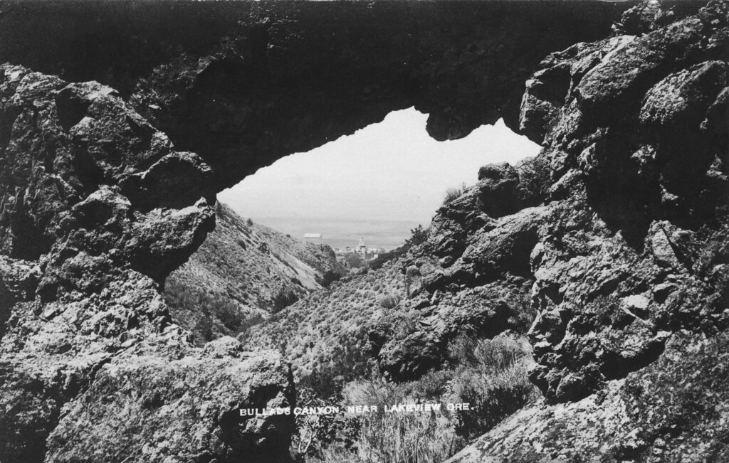 Bullard Canyon TrailHiking · ~8 min drivePhoto: OSU Special Collections & Archives : Commons, No known copyright restrictions (via Flickr)
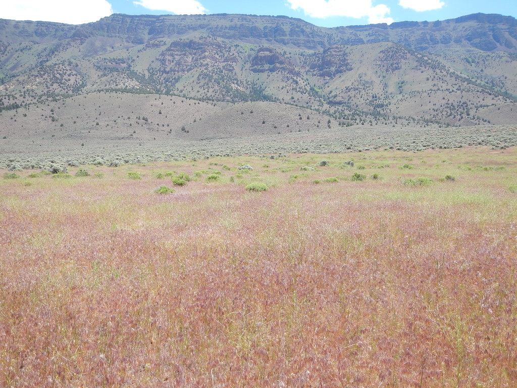 Hart Bar Interpretive TrailHiking · ~52 min drivePhoto: Matt Lavin, CC BY-SA 2.0 (via Flickr)
 MAIN TRAIL SOUTHHiking · ~53 min drivePhoto: Gary Halvorson, Oregon State Archives, CC BY 4.0 (via Wikimedia Commons)
- Southern Oregon Intertie TrailHiking · ~33 min drive
- Rogger Peak LoopHiking · ~2 min drive
- QUARTZ VALLEY NORDIC LOOPHiking · ~52 min drivePhoto: Gary Halvorson, Oregon State Archives, CC BY 4.0 (via Wikimedia Commons)
- QUARTZ NORDIC EAST LOOPHiking · ~54 min drivePhoto: Gary Halvorson, Oregon State Archives, CC BY 4.0 (via Wikimedia Commons)
- SOUTH TRAIL SIDE LOOPHiking · ~53 min drive
- NORDIC TRAIL #146BHiking · ~3 min drive
- Crane Mountain National Recreation TrailHiking · ~2 min drive
Also worth it near here
- Nordic Trail #146DCross-country skiing · ~2 min drive
 Crane Mtn. Nat'l Rec TrailMountain biking · ~9 min drivePhoto: U.S. Forest Service- Pacific Northwest Region, Public domain (via Wikimedia Commons)
- Warner Canyon Ski AreaDownhill skiing · ~10 min drive
 Crane MountainSummit · ~11 min drivePhoto: Orygun, CC BY-SA 4.0 (via Wikimedia Commons)
