Fox Trotter
- 2.3 mi
- round trip
- 286 ft
- climb
- 4,033 ft
- high point
- Out and back
- route
- Jun–Sep
- best months
Is Fox Trotter open right now?
Alert in the area
The Forest Service lists 4 alerts for Hood River Ranger District.
Current fire closures on Mt. Hood National Forest
Agency alert covering Hood River Ranger District · USFS · Hood River Ranger District
Eagle Creek Fire Area Closures
Agency alert covering Mt. Hood National Forest · Order 06-22-01-26-04 · USFS · Mt. Hood National Forest
FR 4613 road damage- use caution
Agency alert covering Mt. Hood National Forest · USFS · Mt. Hood National Forest
Crane Creek bridge closed on the Barlow Road
Agency alert covering Mt. Hood National Forest · USFS · Mt. Hood National Forest
As of · Source: USFS · Hood River Ranger District. Agencies don't list every closure — check before you go.
Fox Trotter is an easy, 2.3-mile out-and-back hike in the Hood River Ranger District of Mt. Hood National Forest in Oregon, managed by the Forest Service. The trail is natural-surfaced and sits at about 3,920 feet, with a front-loaded climb that peaks at 4,033 feet before returning to the starting point. The steepest stretch comes at about 0.5 miles in, with a 9% grade. Summer is the most comfortable time to go. Typical averages from the nearby Government Camp weather station show July and August highs around 70°F with only about four wet days a month, while winter months bring highs in the mid-30s and rain on 20 or more days. The Show Pony and Mustang hikes both start within a mile. Knebal Springs Campground is about 3.7 miles away, and the Middle Fork Hood River offers canoeing roughly 6 miles off.
Local outfitters
- Bike the Gorge23 mi away
- Imperial River Company30 mi away
Not on Roamze yet. Their page has how to reach them.
Best time to go · Jun–Sep
Best time to visit Fox Trotter
Best months: June–September. Best months have typical highs of 55–85 °F, lows of 30 °F or warmer (32 °F where the station doesn't record snow), at most one snowy day and no more than 12 wet days.
Jan
37° / 26°
20 wet
Feb
38° / 26°
17 wet
Mar
41° / 28°
20 wet
Apr
45° / 31°
18 wet
May
54° / 36°
15 wet
Jun
59° / 41°
10 wet
Jul
69° / 48°
4 wet
Aug
70° / 48°
4 wet
Sep
64° / 45°
8 wet
Oct
53° / 37°
13 wet
Nov
42° / 30°
18 wet
Dec
35° / 26°
21 wet
Typical high / low (°F) and days with rain or snow, 1991–2020. Measured at Government Camp, OR, 17.1 mi away at 3,980 ft. This station doesn't record snowfall. Source: NOAA NCEI U.S. Climate Normals 1991–2020.
Keep exploring — more trails worth the drive
 Photo: niiicedave, CC BY-SA 2.0 (via Flickr)
Nature Trail
~7 min drive
0.64-mile out-and-back trail in Oregon with 64 ft of elevation gain.
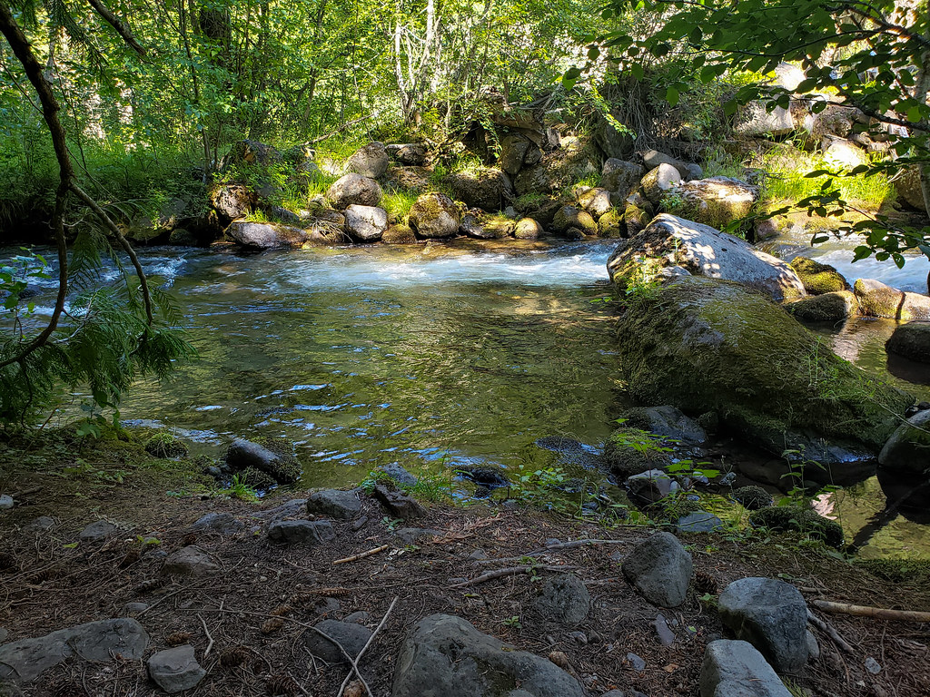 Photo: niiicedave, CC BY-SA 2.0 (via Flickr)
Zig Zag
~10 min drive
1.70-mile out-and-back trail in Oregon with 1,096 ft elevation gain.
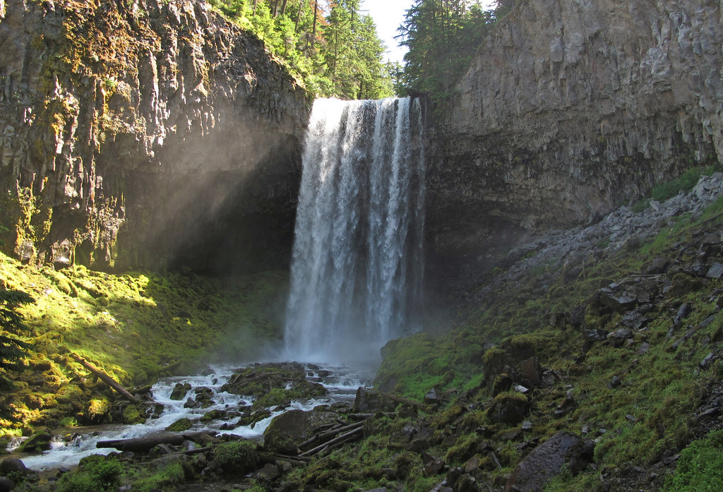 Photo: pmuellr, CC BY 2.0 (via Flickr)
Bluegrass Ridge
~13 min drive
10.80-mile out-and-back trail in Oregon with 1,888 ft elevation gain.
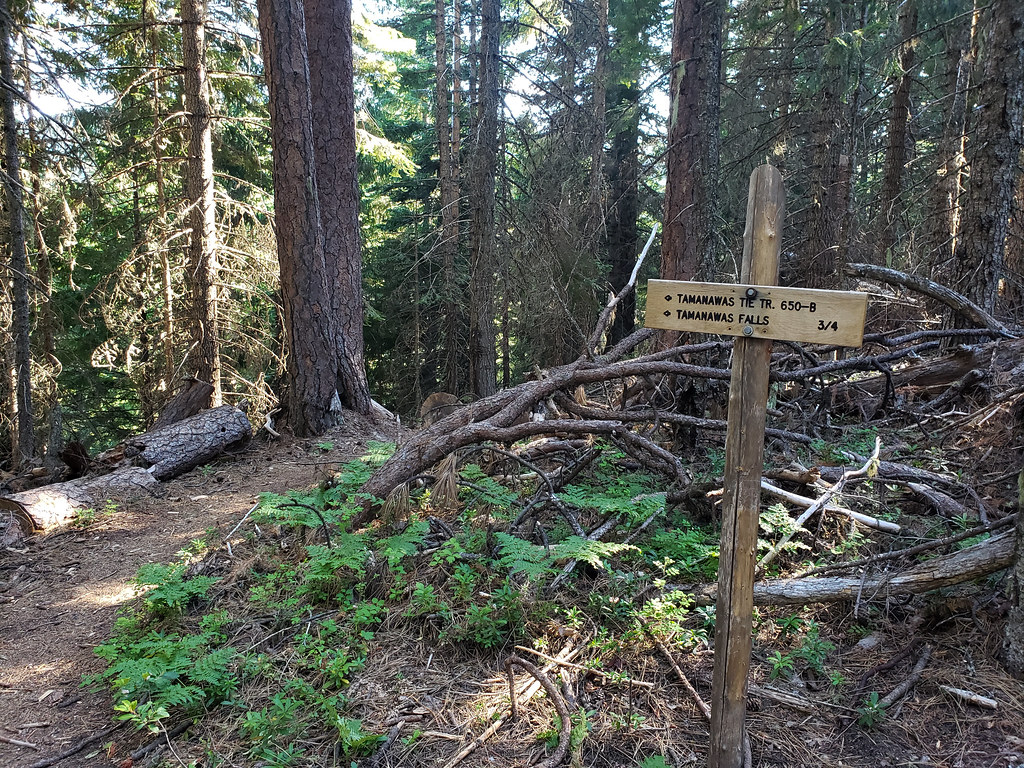 Photo: niiicedave, CC BY-SA 2.0 (via Flickr)
Tamanawas Tie
~11 min drive
0.76-mile out-and-back trail in Oregon with 171 ft of elevation gain.
Photo: niiicedave, CC BY-SA 2.0 (via Flickr)Tamanawas Falls
~11 min drive
2.20-mile out-and-back to Tamanawas Falls in Oregon with 1,035 ft gain.
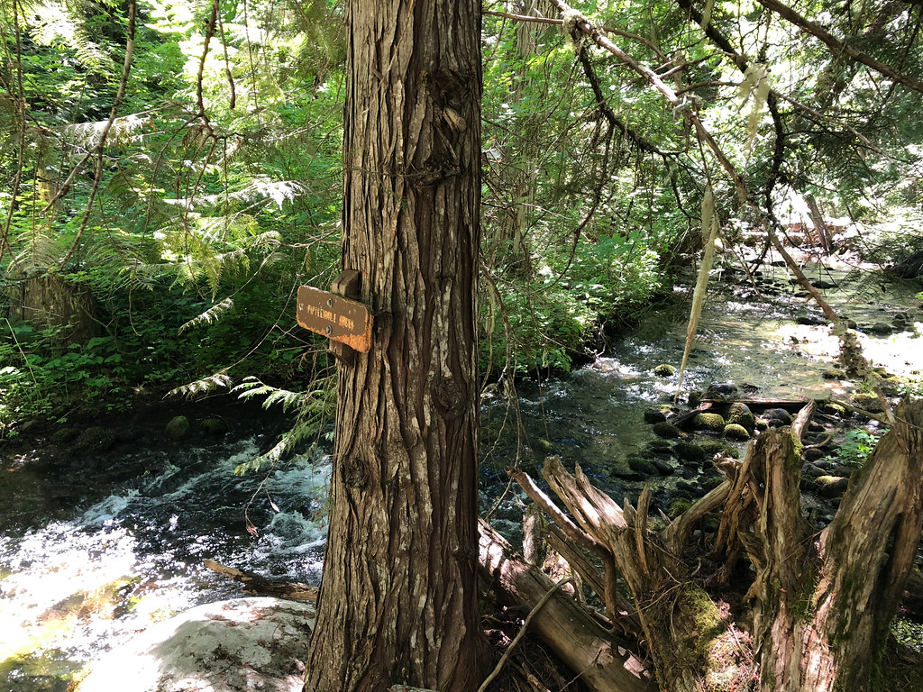 Photo: Northwest Rafting Company, CC BY 2.0 (via Flickr)
Cedar Creek
~15 min drive
9.20-mile out-and-back trail in Oregon with 1,995 ft elevation gain.
Photo: niiicedave, CC BY-SA 2.0 (via Flickr)Pete's Pile climbers trail
~11 min drive
0.7-mile out-and-back trail in Oregon with 492 ft elevation gain.
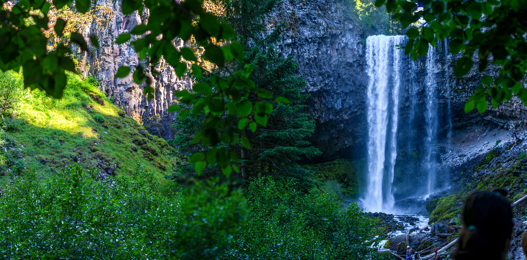 Photo: niiicedave, CC BY-SA 2.0 (via Flickr)
Lamberson Spur #644
~12 min drive
1.89-mile out-and-back trail in Oregon with 1,328 ft gain.
 Photo: Šarūnas Burdulis from USA, CC BY-SA 2.0 (via Wikimedia Commons)
Surveyors Ridge
~9 min drive
Remote 26-mile out-and-back ridge traverse with alpine views.
Photo: Northwest Rafting Company, CC BY 2.0 (via Flickr)Underhill Trail
~15 min drive
2.82-mile point-to-point trail in Oregon with 1,288 ft gain

