Cascadia Day Use
- 0.4 mi
- loop
- 797 ft
- high point
- Loop
- route
- Easy
- difficulty
- Jun–Oct
- best months
Cascadia Day Use is a short, easy loop on the Willamette National Forest in Oregon, managed by the Forest Service. The route is about 0.4 miles long and sits at roughly 790 feet, with a high point of 797 feet and a low of 788 feet. The trail is a loop, and the steepest stretch comes at about 0.34 miles in, with a grade of about 12 percent. Summer is the most comfortable time to visit. Typical averages from a nearby weather station in Cascadia show July and August highs around 79 to 80°F with only about four wet days a month, while winter months bring highs in the mid-40s and rain on most days. Bikes and horses are both allowed on the trail. For more time outdoors, the River Trail and Lower Soda Creek Falls Trail are each about 1.6 miles away. Paddlers can head to Little Wiley Creek, about 2.6 miles off, and climbers will find Garden Cliffs about 4.6 miles away.
Local outfitters
- Patio RV Park22 mi away
- Horse Creek Lodge & Outfitters23 mi away
Not on Roamze yet. Their page has how to reach them.
- River TrailHiking1.6 mi
 Lower Soda Creek Falls TrailHikingPhoto: Bonnie Moreland (free images), Public Domain Dedication (CC0) (via Flickr)1.6 mi
- Little Wiley CreekCanoeing2.6 mi
- Wiley CreekCanoeing4.3 mi
- Garden CliffsRock climbing4.6 mi
- Pink Tag BouldersRock climbing4.7 mi
- Longbow Organizational CampCamping7.3 mi
- Trout CreekCamping8 mi
Source: Roamze catalog (indexable pages within 10 miles, PostGIS distance)
- Lower Soda Creek Falls TrailHiking · ~3 min drivePhoto: Bonnie Moreland (free images), Public Domain Dedication (CC0) (via Flickr)
 Trout CreekHiking · ~14 min drivePhoto: randallagordon, CC BY-SA 3.0 (via Wikimedia Commons)
 Gordon LakesHiking · ~19 min drivePhoto: randallagordon, CC BY-SA 3.0 (via Wikimedia Commons)
- Walton Ranch InterpretiveHiking · ~14 min drivePhoto: randallagordon, CC BY-SA 3.0 (via Wikimedia Commons)
 Rooster RockHiking · ~17 min drivePhoto: U.S. Forest Service- Pacific Northwest Region, Public domain (via Wikimedia Commons)
 Iron MountainHiking · ~31 min drivePhoto: AndreyZharkikh, CC BY 2.0 (via Flickr)
 Iron Mountain-Cone Peak LoopHiking · ~31 min drivePhoto: AndreyZharkikh, CC BY 2.0 (via Flickr)
 Cone PeakHiking · ~30 min drivePhoto: AndreyZharkikh, CC BY 2.0 (via Flickr)
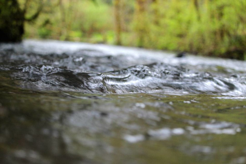 Drury Ridge-B.S.A. TrailHiking · ~34 min drivePhoto: dsgetch, CC BY 2.0 (via Flickr)
- Tombstone NatureHiking · ~31 min drivePhoto: AndreyZharkikh, CC BY 2.0 (via Flickr)
Best time to visit Cascadia Day Use
Best months: June–October. Best months have typical highs of 55–85 °F, lows of 30 °F or warmer (32 °F where the station doesn't record snow), at most one snowy day and no more than 12 wet days.
Jan
45° / 33°
19 wet
Feb
50° / 33°
16 wet
Mar
54° / 34°
19 wet
Apr
58° / 37°
18 wet
May
65° / 42°
14 wet
Jun
70° / 46°
10 wet
Jul
79° / 49°
4 wet
Aug
80° / 47°
4 wet
Sep
74° / 44°
6 wet
Oct
62° / 39°
12 wet
Nov
50° / 35°
18 wet
Dec
44° / 33°
19 wet
Typical high / low (°F) and days with rain or snow, 1991–2020. Measured at Cascadia, OR, 1.5 mi away at 960 ft. This station doesn't record snowfall. Source: NOAA NCEI U.S. Climate Normals 1991–2020.
