Buckhead Nature Trail
- 1.1 mi
- loop
- 1,005 ft
- high point
- Loop
- route
- Easy
- difficulty
Is Buckhead Nature Trail open right now?
Closure in the area
There's a closure order in Willamette National Forest. It doesn't name Buckhead Nature Trail, so check the source for the area it covers.
Cedar Creek Fire Closure
Agency closure covering Willamette National Forest · Order 06-18-10-26-04 · USFS · Willamette National Forest
FIRE CLOSURES: Current wildfire closures on the Willamette National Forest
Agency alert covering Willamette National Forest · USFS · Willamette National Forest
2026 Active Wildfire
Agency alert covering Middle Fork Ranger District · USFS · Middle Fork Ranger District
As of · Source: USFS · Willamette National Forest. Agencies don't list every closure — check before you go.
Buckhead Nature Trail is a short, easy loop in the Middle Fork Ranger District of the Willamette National Forest in Oregon, managed by the Forest Service. The trail is about a mile long, with a total elevation gain of just a few feet, and it runs on paved surface. Summer is the most comfortable time to go. Typical averages from the nearby Oakridge Fish Hatchery weather station show July and August highs around 80°F, with only two or three wet days a month. Winter is much wetter, with 16 or more wet days a month from December through March. The trail is closed to bikes and horses. Alpine Trail and Deception Butte are both within about a mile and a half, and Black Canyon Campground and Picnic is about 3 miles away.
Local outfitters
- Casey's Riverside RV Resort1 mi away
- Shelter Cove Resort & Marina28 mi away
Not on Roamze yet. Their page has how to reach them.
Keep exploring — more trails worth the drive
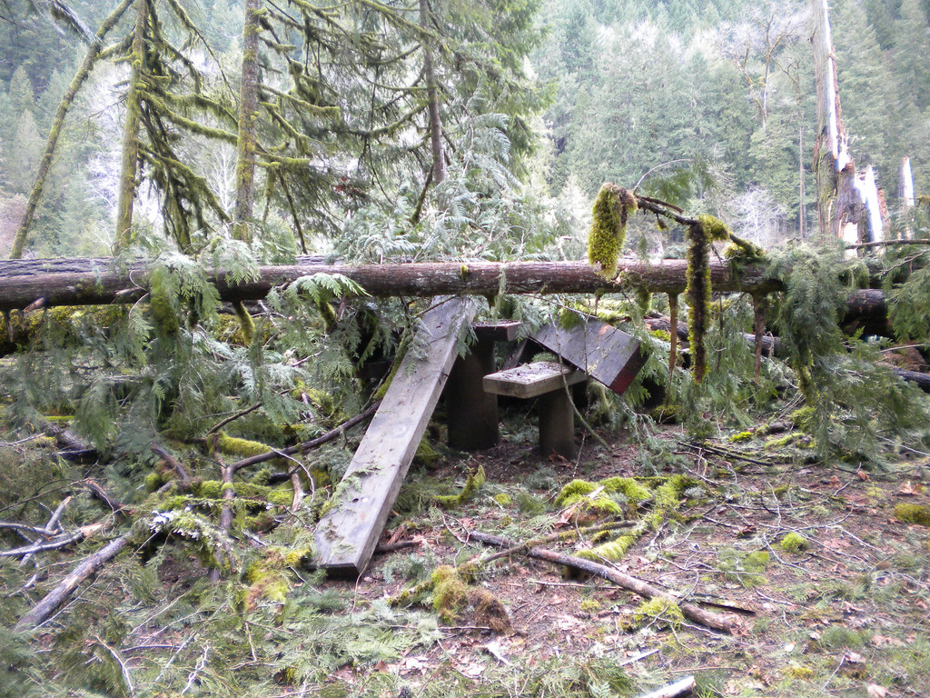 Photo: Forest Service Pacific Northwest Region, Public Domain Mark (via Flickr)
Deception Butte
~2 min drive
9.76-mile out-and-back trail in Oregon with 3,764 ft elevation gain
Photo: Forest Service Pacific Northwest Region, Public Domain Mark (via Flickr)Wren Loop
~3 min drive
1.60-mile out-and-back trail in Oregon with 185 ft gain.
Photo: Forest Service Pacific Northwest Region, Public Domain Mark (via Flickr)Lower Middle Fork
~3 min drive
3.32-mile out-and-back trail on the Middle Fork in Oregon.
HIKE
Tire Mountain Trail
~6 min drive
Moderate 6-mile out-and-back climb to Tire Mountain summit views.
 Photo: Bruce Fingerhood from Springfield, Oregon, US, CC BY 2.0 (via Wikimedia Commons)
North Fork Segment #1
~3 min drive
9.75-mile out-and-back trail in Oregon with 2,010 ft gain
 Photo: johnynek, CC BY-SA 2.0 (via Flickr)
Greenwaters
~8 min drive
1.32-mile loop in Oregon with 286 ft gain and 299 ft loss.
HIKE
Alpine Trail
~2 min drive
1.68-mile out-and-back trail in Oregon with 980 ft elevation gain.
HIKE
Lawler Trail #3473
~8 min drive
13.58-mile out-and-back trail in Oregon with 4,887 ft elevation gain and loss.
HIKE
Cloverpatch Trail
~8 min drive
3.57-mile out-and-back trail in Oregon with 1,571 ft gain.
 Photo: (c) Ed Alverson, some rights reserved (CC BY), CC BY 4.0 (via Wikimedia Commons)
Aubrey Mountain
~11 min drive
1.60-mile out-and-back trail to Aubrey Mountain in Oregon
