Big Bertha Trail
- 0.4 mi
- round trip
- 467 ft
- climb
- 2,628 ft
- high point
- Out and back
- route
Big Bertha Trail is a short, easy hike on state land in Oregon, about 0.4 miles long and roughly 0.8 miles round trip. It starts at about 2,160 feet and climbs to about 2,630 feet, with the steepest stretch near the beginning at about 42% grade. The trail is front-loaded, so the climb is hardest at the start, and the descent mirrors it. The land is managed by the State Land Board and falls within the Forest Development Fund (Board of Forestry) unit. The trail is an out-and-back, and the total elevation gain is about 467 feet. Steampot Trail lies about 0.7 miles away. Paddlers can reach the East Fork South Fork Trask River at about 1.5 miles and Bark Shanty Creek at about 2 miles. For an overnight stay, Dovre Recreation Site is about 6 miles off.
Local outfitters
- Adventures Without Limits22 mi away
- Hart's Camp25 mi away
Not on Roamze yet. Their page has how to reach them.
- Steampot TrailHiking0.7 mi
- East Fork South Fork Trask RiverCanoeing1.5 mi
- Bark Shanty CreekCanoeing2 mi
- Elkhorn CreekCanoeing3.8 mi
- Dovre Recreation SiteCamping5.9 mi
- Hembre RidgeHiking6.1 mi
- Fan Creek Recreation SiteCamping7.3 mi
- Elk Bend Recreation SiteCamping7.6 mi
Source: Roamze catalog (indexable pages within 10 miles, PostGIS distance)
 Niagra FallsHiking · ~23 min drivePhoto: lumachrome, CC BY-SA 2.0 (via Flickr)
 Old Wilson River TrailHiking · ~23 min drivePhoto: Ryan Harvey, CC BY-SA 2.0 (via Flickr)
 Wilson River TrailHiking · ~23 min drivePhoto: Mafue, CC BY-SA 2.0 (via Flickr)
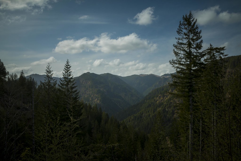 Wilson River TrailHiking · ~27 min drivePhoto: LukeDetwiler, CC BY 2.0 (via Flickr)
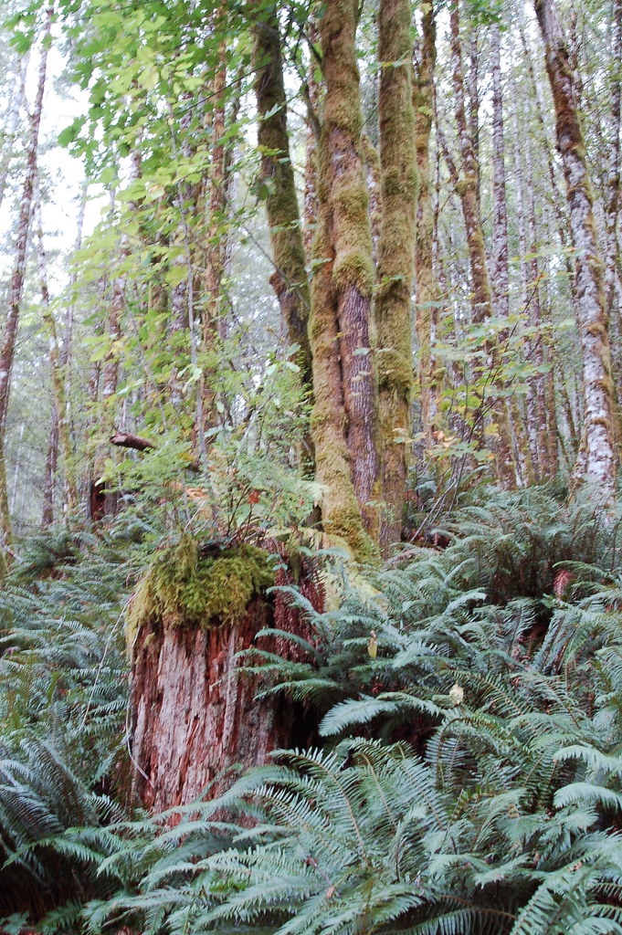 Elk Mountain-Kings Mountain LoopHiking · ~24 min drivePhoto: bzo, CC BY-SA 2.0 (via Flickr)
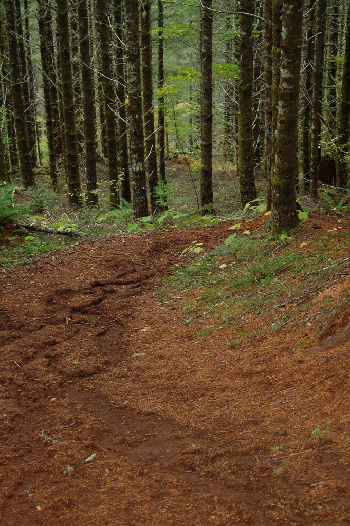 Kings Mountain Jr.Hiking · ~25 min drivePhoto: bzo, CC BY-SA 2.0 (via Flickr)
- Jordan Creek TrailHiking · ~18 min drive
 Side Step TrailHiking · ~27 min drivePhoto: LukeDetwiler, CC BY 2.0 (via Flickr)
- University Fire Power TrailHiking · ~27 min drivePhoto: LukeDetwiler, CC BY 2.0 (via Flickr)
- Mongos CanyonHiking · ~22 min drive

Map and trail data © OpenStreetMap contributors
