Jordan Creek Trail
- 3.0 mi
- round trip
- 3,188 ft
- climb
- 1,580 ft
- high point
- Out and back
- route
- Apr–Oct
- best months
Jordan Creek Trail is a 6-mile out-and-back hike in Oregon, managed by the State Land Board on land within the Forest Development Fund (Board of Forestry) unit. The route starts at about 870 feet and climbs steadily to a high point of 1,580 feet, with a total elevation gain of 3,188 feet over the course of the trip. The steepest stretch comes at about 2.7 miles in, where the grade reaches 27 percent. The trail is rated hard, and the climb is a significant one. Plan on about 3.5 hours for the round trip, and expect the most comfortable conditions in late summer, when typical averages from a nearby weather station run to highs around 68 to 69°F in July and August. That station sits well below the trail, so temperatures on the route run cooler. Jordan Creek, a canoeing spot, lies just 0.3 miles away, and South Fork Jordan Creek is about 1.9 miles off. For more hiking, the Ben Smith Loop is 2.8 miles away and the Old Wilson River Trail is 3.6 miles away.
Local outfitters
- Adventures Without Limits20 mi away
- Hart's Camp31 mi away
Not on Roamze yet. Their page has how to reach them.
- Jordan CreekCanoeing0.3 mi
- South Fork Jordan CreekCanoeing1.9 mi
- Ben Smith LoopHiking2.8 mi
 Old Wilson River TrailHikingPhoto: Ryan Harvey, CC BY-SA 2.0 (via Flickr)3.6 mi
 Wilson River TrailHikingPhoto: Mafue, CC BY-SA 2.0 (via Flickr)3.7 mi
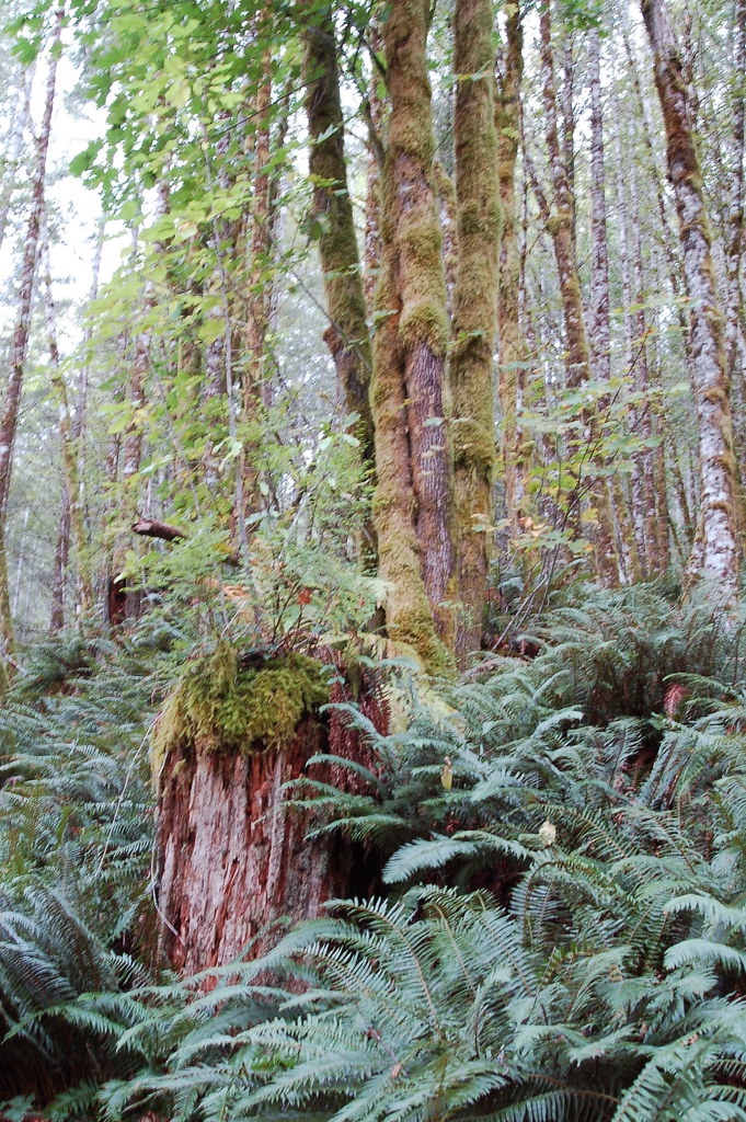 Elk Mountain-Kings Mountain LoopHikingPhoto: bzo, CC BY-SA 2.0 (via Flickr)3.8 mi
- Clear CreekCanoeing4.3 mi
 Wilson RiverCanoeingPhoto: Finetooth, CC BY-SA 3.0 (via Wikimedia Commons)4.7 mi
Source: Roamze catalog (indexable pages within 10 miles, PostGIS distance)
- Old Wilson River TrailHiking · ~6 min drivePhoto: Ryan Harvey, CC BY-SA 2.0 (via Flickr)
- Wilson River TrailHiking · ~6 min drivePhoto: Mafue, CC BY-SA 2.0 (via Flickr)
- Elk Mountain-Kings Mountain LoopHiking · ~7 min drivePhoto: bzo, CC BY-SA 2.0 (via Flickr)
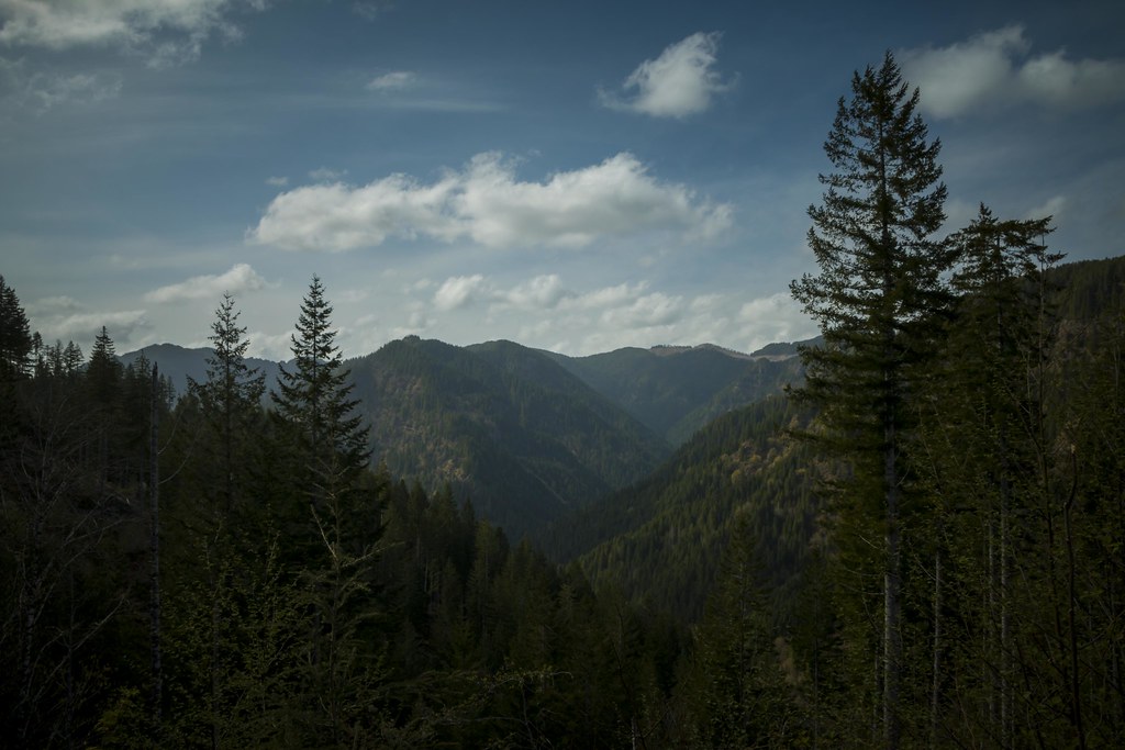 Wilson River TrailHiking · ~10 min drivePhoto: LukeDetwiler, CC BY 2.0 (via Flickr)
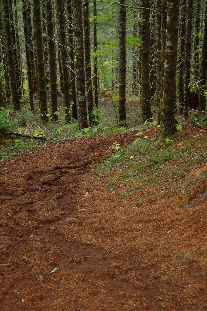 Kings Mountain Jr.Hiking · ~7 min drivePhoto: bzo, CC BY-SA 2.0 (via Flickr)
- Elk Creek TrailHiking · ~11 min drive
 Side Step TrailHiking · ~12 min drivePhoto: LukeDetwiler, CC BY 2.0 (via Flickr)
- Mongos CanyonHiking · ~8 min drive
- Horseshoe TrailHiking · ~11 min drivePhoto: LukeDetwiler, CC BY 2.0 (via Flickr)
- Elliott Creek TrailHiking · ~14 min drivePhoto: LukeDetwiler, CC BY 2.0 (via Flickr)
Also worth it near here
Best time to visit Jordan Creek Trail
Best months: April–October. Best months have typical highs of 55–85 °F, lows of 30 °F or warmer (32 °F where the station doesn't record snow), at most one snowy day and no more than 12 wet days.
Jan
48° / 38°
Feb
51° / 37°
Mar
53° / 38°
Apr
55° / 40°
May
59° / 44°
Jun
64° / 47°
Jul
68° / 50°
Aug
69° / 50°
Sep
67° / 48°
Oct
60° / 43°
Nov
52° / 40°
Dec
47° / 38°
Typical high / low (°F) and days with rain or snow, 1991–2020. Measured at Tillamook 6se, OR, 14.1 mi away at 140 ft. The station sits about 1,400 ft lower than this place, so expect it a little cooler here. This station doesn't record snowfall. Source: NOAA NCEI U.S. Climate Normals 1991–2020.

Map and trail data © OpenStreetMap contributors
