Bear Gulch Trail
- 1.0 mi
- round trip
- 665 ft
- climb
- 2,771 ft
- high point
- Out and back
- route
- Mar–Jun, Sep–Nov
- best months
Bear Gulch Trail is a short, easy hike on Bureau of Land Management land in the Medford Ashland Field Office in southern Oregon, about a mile from the town of Ruch. The trail is an out-and-back that starts and ends at about 2,770 feet, with a high point of 2,771 feet and a low of 2,288 feet. The climb is back-loaded, with the steepest part at about 0.3 miles in, where the grade reaches 15%. The total elevation gain is 665 feet, and the trail is roughly 2 miles long. Late spring and early fall tend to be the most comfortable times to go. Typical averages from the nearby Ruch weather station show May highs around 75°F and September highs around 85°F, while July and August average in the low 90s. Several other trails sit close by, including West Bear Gulch Trail, Tunnel Ridge Trail and Upper Bear Gulch Trail. The area is managed by the Forest Service, and the hike is listed as easy on the Forest Service's trail website.
Local outfitters
- Ashland Family YMCA11 mi away
- Momentum River Expeditions11 mi away
Not on Roamze yet. Their page has how to reach them.
- West Bear Gulch TrailHiking0.5 mi
- Tunnel Ridge TrailHiking0.6 mi
- Upper Bear Gulch TrailHiking0.8 mi
- Little Applegate RiverCanoeing3.8 mi
- Beaver Sulphur Group CampgroundCamping6.9 mi
 Acorn Woman Peak LookoutCampingPhoto: Recreation.gov (RIDB) / public domain8 mi
- Wrangle CampgroundCamping8.2 mi
 Bear CreekCanoeingPhoto: ZabMilenko at English Wikipedia, Public domain (via Wikimedia Commons)9.6 mi
Source: Roamze catalog (indexable pages within 10 miles, PostGIS distance)
 Ostrich Peak TrailHiking · ~15 min drivePhoto: kallahar, CC BY 3.0 (via Wikimedia Commons)
 Fell on KneeHiking · ~17 min drivePhoto: kallahar, CC BY 3.0 (via Wikimedia Commons)
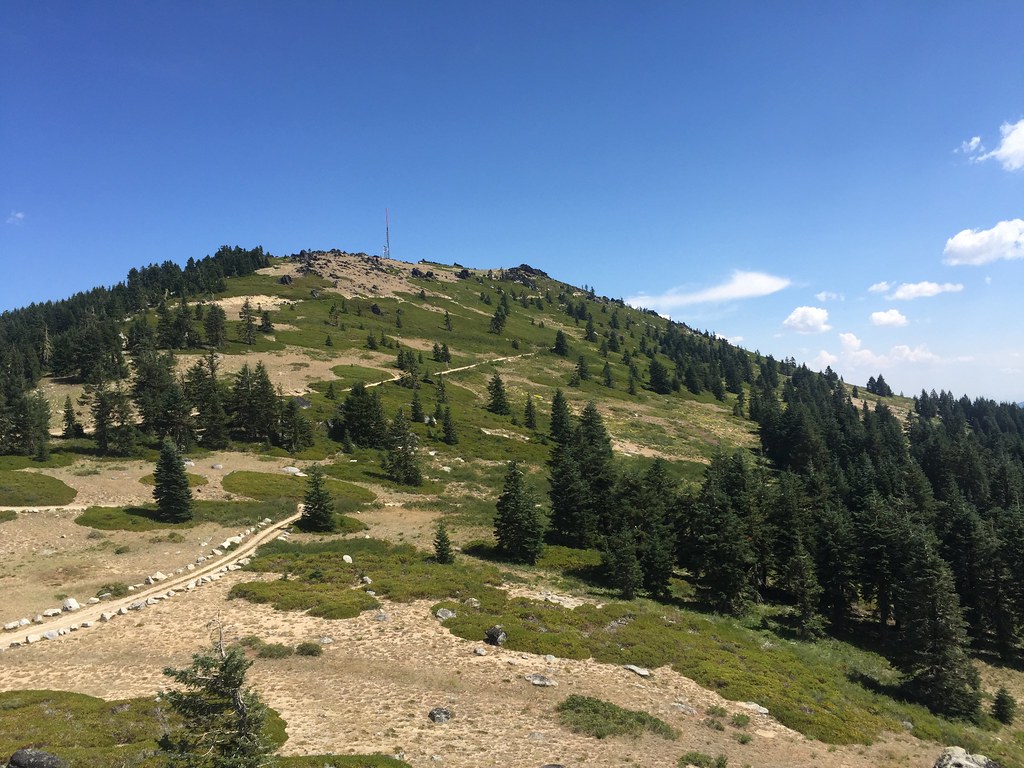 Split RockHiking · ~18 min drivePhoto: zappowbang, CC BY-SA 2.0 (via Flickr)
- Sterling Mine DitchHiking · ~3 min drive
 Lewis Loops: GimbleHiking · ~18 min drivePhoto: kallahar, CC BY 3.0 (via Wikimedia Commons)
- WonderHiking · ~17 min drivePhoto: kallahar, CC BY 3.0 (via Wikimedia Commons)
- Upper Bear Gulch TrailHiking · ~1 min drive
- Jack-Ash TrailHiking · ~7 min drive
- Hidden Creek Loop TrailHiking · ~6 min drive
 Maple DellHiking · ~16 min drivePhoto: Curt Kline, CC BY 3.0 (via Wikimedia Commons)
Also worth it near here
 Tunnel Ridge TrailMountain biking · ~1 min drivePhoto: BLM Oregon & Washington, Public domain (via Wikimedia Commons)
- Acorn Woman Peak LookoutCamping · ~14 min drive
- Jackson Campground On The Applegate RiverStand up paddleboarding · ~16 min drive
- Bear CreekCanoeing · ~16 min drivePhoto: ZabMilenko at English Wikipedia, Public domain (via Wikimedia Commons)
Best time to visit Bear Gulch Trail
Best months: March–June and September–November. Best months have typical highs of 55–85 °F, lows of 30 °F or warmer (32 °F where the station doesn't record snow), at most one snowy day and no more than 12 wet days.
Jan
50° / 30°
Feb
55° / 31°
Mar
60° / 33°
Apr
65° / 36°
May
75° / 42°
Jun
82° / 47°
Jul
92° / 52°
Aug
91° / 51°
Sep
85° / 45°
Oct
72° / 38°
Nov
56° / 33°
Dec
49° / 30°
Typical high / low (°F) and days with rain or snow, 1991–2020. Measured at Ruch, OR, 8 mi away at 1,550 ft. The station sits about 1,200 ft lower than this place, so expect it a little cooler here. This station doesn't record snowfall. Source: NOAA NCEI U.S. Climate Normals 1991–2020.
Map and trail data © OpenStreetMap contributors
