Whychus Crossing
Campground
Campground · < 0.1 mi from the trail
Caution today
Agency alerts are in effect for this area; weather is marginal · USFS, OpenWeather · checked just now
Closure in the area
There's a closure order in Ochoco National Forest. It doesn't name Whychus Crossing, so check the source for the area it covers.
Rowe Creek Complex Emergency Closure Order
Agency closure covering Ochoco National Forest · Order 06-07-26-04 · USFS · Ochoco National Forest
Blue-Green Algae Information
Agency alert covering Ochoco National Forest · USFS · Ochoco National Forest
Prescribed Fire information
Agency alert covering Ochoco National Forest · USFS · Ochoco National Forest
As of · Source: USFS · Ochoco National Forest. Agencies don't list every closure — check before you go.
Whychus Crossing is a Forest Service campground in Oregon, on the Crooked River National Grassland ranger district of the Ochoco National Forest. The Forest Service manages the land, and no fees are required to use the site. For comfortable weather, late spring and early fall are the sweet spots. Typical averages from the nearby Sisters, Oregon weather station show May highs around 66°F and September highs around 76°F, while July climbs to about 86°F and winter highs sit in the low 40s. Several trails lie close by. Alder Springs is about 1.7 miles away, and Shelf Trail is about 3.8 miles off. Scout Camp Trail and Folley Waters Trail are both within about 4.4 miles. For paddling, Whychus Creek is roughly 10 miles away.
Whychus Crossing
Campground
Sisters Museum
Museum
Places © OpenStreetMap contributors, Places © Overture Maps Foundation
More in SistersNot on Roamze yet. Their page has how to reach them.
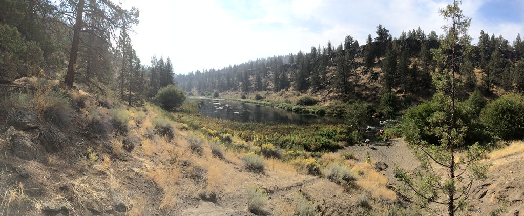 Shelf TrailHikingPhoto: BLM Oregon & Washington, CC BY 2.0 (via Flickr)3.8 mi
 Scout Camp TrailHikingPhoto: Ken Lund from Reno, Nevada, USA, CC BY-SA 2.0 (via Wikimedia Commons)4 mi
 Folley Waters TrailHikingPhoto: BLM Oregon & Washington, CC BY 2.0 (via Flickr)4.4 mi
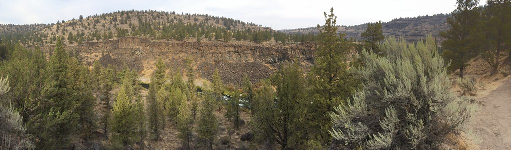 Steelhead Falls - Trail SystemHikingPhoto: BLM Oregon & Washington, CC BY 2.0 (via Flickr)4.8 mi
 Whychus CreekCanoeingPhoto: Ian Sane, CC BY 2.0 (via Wikimedia Commons)10 mi
Source: Roamze catalog (indexable pages within 10 miles, PostGIS distance)
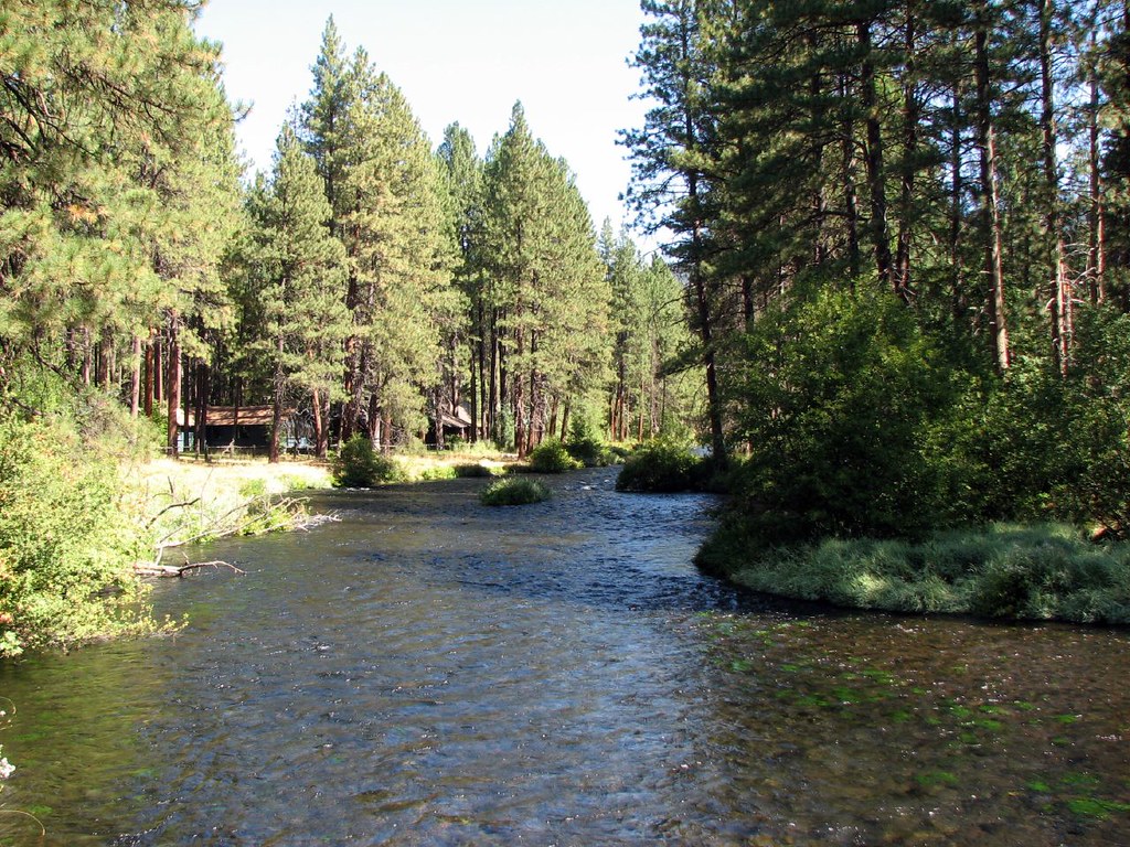 Camp ShermanCamping · ~22 min drivePhoto: DBerry2006 — CC BY 2.0 (via Flickr)
Also worth it near here
Folley Waters TrailHiking · ~8 min drivePhoto: BLM Oregon & Washington, CC BY 2.0 (via Flickr) Steelhead Falls TrailMountain biking · ~8 min drivePhoto: Michael Campbell; Bureau of Land Management Oregon and Washington, Public domain (via Wikimedia Commons)Whychus CreekCanoeing · ~17 min drivePhoto: Ian Sane, CC BY 2.0 (via Wikimedia Commons)
 Downstream BouldersRock climbing · ~20 min drivePhoto: OSU Special Collections & Archives : Commons, No restrictions (via Wikimedia Commons)
Best months: May–June and August–September. Best months have typical highs of 55–85 °F, lows of 30 °F or warmer (32 °F where the station doesn't record snow), at most one snowy day and no more than 12 wet days.
Jan
41° / 21°
Feb
44° / 22°
Mar
51° / 25°
Apr
57° / 29°
May
66° / 34°
Jun
74° / 39°
Jul
86° / 43°
Aug
85° / 42°
Sep
76° / 36°
Oct
61° / 29°
Nov
47° / 25°
Dec
39° / 20°
Typical high / low (°F) and days with rain or snow, 1991–2020. Measured at Sisters, OR, 12.3 mi away at 3,180 ft. The station sits about 700 ft higher than this place, so expect it a little warmer here. This station doesn't record snowfall. Source: NOAA NCEI U.S. Climate Normals 1991–2020.
