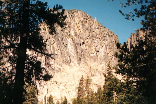
Sandhill Crossing Campground
- May–Jun, Aug–Sep
- best months
Is Sandhill Crossing Campground open right now?
No closures listed
The Forest Service lists no closures for Fremont-Winema National Forest.
As of · Source: USFS · Fremont-Winema National Forest. Agencies don't list every closure — check before you go.
- At 6,200 ft
- Paisley Ranger DistrictFremont-Winema National Forest
Sandhill Crossing Campground is a Forest Service site in the Paisley Ranger District of the Fremont-Winema National Forest in southern Oregon. It sits in the high country, and the nearest town is Gerber, about 30 miles away. The site has no fees, and the only facility is vault toilets. That makes it a simple base for an overnight stay rather than a place with full amenities. Summer is the most comfortable time to visit. Typical averages from the Gerber Dam weather station, about 30 miles away, show July highs around 86°F with lows near 48°F, while winter highs stay in the low 40s. That station sits roughly 1,300 feet lower than the campground, so temperatures at the site run cooler. Lee Thomas Campground is about 2 miles away, and the Gearhart Mountain Trail and Dead Horse Rim are both within 4 miles. Paddlers can reach the North Fork Sprague River, about 7 miles off.
Local outfitters
- Wild Goose Meadows RV Park37 mi away
- Valley View RV Park44 mi away
Not on Roamze yet. Their page has how to reach them.
Best time to go · May–Jun, Aug–Sep
Best time to visit Sandhill Crossing Campground
Best months: May–June and August–September. Best months have typical highs of 55–85 °F, lows of 30 °F or warmer (32 °F where the station doesn't record snow), at most one snowy day and no more than 12 wet days.
Jan
43° / 21°
Feb
45° / 24°
Mar
49° / 25°
Apr
56° / 29°
May
64° / 37°
Jun
75° / 40°
Jul
86° / 48°
Aug
84° / 47°
Sep
78° / 39°
Oct
64° / 31°
Nov
49° / 25°
Dec
40° / 19°
Typical high / low (°F) and days with rain or snow, 1991–2020. Measured at Gerber Dam, OR, 29.7 mi away at 4,870 ft. The station sits about 1,300 ft lower than this place, so expect it a little cooler here. This station doesn't record snowfall. Source: NOAA NCEI U.S. Climate Normals 1991–2020.
Keep exploring — more campsites worth the drive
BED
Lee Thomas Campground
~4 min drive
SEE
Bald Butte Lookout Recreation Site
~8 min drive
BED
Bald Butte Lookout
~8 min drive
Bald Butte Lookout is a campground in Oregon at about 7,539 feet. It is managed by the U.S. Forest Service.
BED
Bald Butte Lookout (Fremont-Winema National Forest, OR)
~8 min drive
BED
Hanan/Sycan Campground
~11 min drive
Hanan/Sycan Campground is a campground in Oregon at about 6,641 feet. It is managed by the U.S. Forest Service.
BED
Campbell Lake Campground
~12 min drive
BED
Currier Guard Station
~14 min drive
BED
Currier Springs Horse Camp
~17 min drive
Currier Springs Horse Camp is a campground in Oregon at about 6,852 feet, with 4 sites. It is managed by the U.S. Forest Service.
BED
Horse Glade Trailhead
~19 min drive
Horse Glade Trailhead is a campground in Oregon at about 5,066 feet. It is managed by the U.S. Forest Service.
BED
Horseglades
~19 min drive
Also worth it near here