West Branch Wolf Creek
- 25.0 mi
- distance
- 895 ft
- high point
- Jun–Oct
- best months
West Branch Wolf Creek is a canoeing destination in Ohio, about 2.2 miles from the town of Rosseau. It is a paddling route rather than a climb, so there is no elevation gain to consider. For comfortable conditions on the water, late spring and early fall stand out. Typical averages from a nearby weather station run to highs around 73°F in May and 78°F in September, while July highs reach about 84°F and winter lows drop to around 20°F. The surrounding area offers more to do on land. The Nct Athens East hike and the Muskingum River fishing access are each about 5.2 miles away, and the Wildcat Hollow hike is about 6.7 miles off. Burr Oak Campground, roughly 8.3 miles away, is the closest place to camp.
Local outfitters
- Float-Shack8 mi away
- Hocking Hills Canoe Livery28 mi away
Not on Roamze yet. Their page has how to reach them.
- Nct Athens EastHiking5.2 mi
- Muskingum RiverRiver fishing5.2 mi
- Adt - Ohio D - Seg 1Hiking6.7 mi
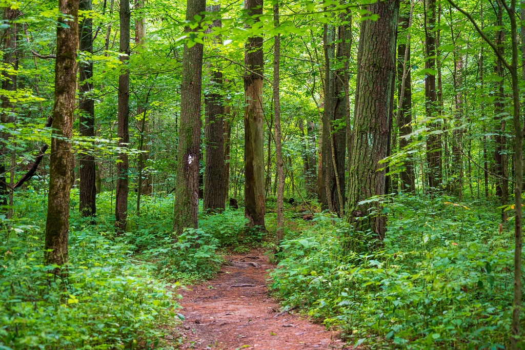 Wildcat HollowHikingPhoto: Wayne National Forest, Public Domain Mark (via Flickr)6.7 mi
- Tanager TrailHiking7 mi
 Burr Oak CampgroundCampingPhoto: Wayne National Forest — Public Domain Mark 1.0 (via Flickr)8.3 mi
- LakeviewHiking8.4 mi
- Burr Oak Lakeview TrailHiking8.5 mi
Source: Roamze catalog (indexable pages within 10 miles, PostGIS distance)
 Sunday CreekCanoeing · ~19 min drivePhoto: Tim Kiser (w:User:Malepheasant), CC BY-SA 2.5 (via Wikimedia Commons)
- South Boat Launch (MUM-224)Boat launch · ~30 min drive
 Moxahala CreekCanoeing · ~24 min drivePhoto: Nyttend, Public domain (via Wikimedia Commons)
- North Boat Launch (MUM-224)Boat launch · ~31 min drive
 Monday CreekCanoeing · ~31 min drivePhoto: Tim Kiser (w:User:Malepheasant), CC BY-SA 2.5 (via Wikimedia Commons)
- West State Street Canoe PortageBoat launch · ~36 min drive
 Little Hocking RiverCanoeing · ~36 min drivePhoto: Tim Kiser, CC BY-SA 3.0 us (via Wikimedia Commons)
- Ohio River Public Access SiteBoat launch · ~47 min drive
 Leading CreekCanoeing · ~1h drivePhoto: Tim Kiser (Wikipedia user Malepheasant), CC BY-SA 3.0 (via Wikimedia Commons)
- Trip #1Boat launch · ~52 min drive
Also worth it near here
- Muskingum RiverRiver fishing · ~9 min drive
- Wildcat HollowHiking · ~12 min drivePhoto: Wayne National Forest, Public Domain Mark (via Flickr)
- Burr Oak CampgroundCamping · ~14 min drivePhoto: Wayne National Forest — Public Domain Mark 1.0 (via Flickr)
- Ohio Power Company Pond Mbl-1Lake fishing · ~21 min drive
Best time to visit West Branch Wolf Creek
Best months: June–October. Best months have typical highs of 55–85 °F, lows of 30 °F or warmer (32 °F where the station doesn't record snow), at most one snowy day and no more than 12 wet days.
Jan
39° / 20°
13 wet
Feb
42° / 22°
11 wet
Mar
52° / 29°
12 wet
Apr
65° / 38°
13 wet
May
73° / 49°
13 wet
Jun
80° / 58°
12 wet
Jul
84° / 63°
11 wet
Aug
83° / 61°
10 wet
Sep
78° / 53°
9 wet
Oct
66° / 41°
10 wet
Nov
54° / 32°
11 wet
Dec
43° / 25°
13 wet
Typical high / low (°F) and days with rain or snow, 1991–2020. Measured at Mc Connellsville Lk 7, OH, 5.6 mi away at 760 ft. This station doesn't record snowfall. Source: NOAA NCEI U.S. Climate Normals 1991–2020.
