Adt - Ohio D - Seg 1
- 33.6 mi
- one way
- 2,101 ft
- climb
- 1,009 ft
- high point
- Point to point
- route
- Jun–Oct
- best months
Adt - Ohio D - Seg 1 is a hard hike in Ohio, stretching about 33.6 miles with a one-way elevation gain of 2,101 feet. The route rises from a low point of 582 feet to a high of 1,009 feet, and it starts at about 981 feet, so the climb totals roughly 2,100 feet over the course of the trip. The trail is a point-to-point route rather than a loop, and it is estimated to take about 12.5 hours to complete. The nearest town is Chesterhill, Ohio, which sits about 0.1 mile from the trail. That makes the trail an easy access from town, even though it is a long and steep outing. For timing, the most comfortable stretch is late spring or early fall. Typical averages from a nearby weather station run from highs around 73°F in May to about 78°F in September, with September also seeing the fewest wet days of the year. Paddlers can find West Branch Wolf Creek about 6.7 miles away and Federal Creek about 7.2 miles away. Hikers can pair this route with the Tanager Trail, roughly 9.1 miles off, or the Nct Athens East trail, about 9.6 miles away.
Best time to go · Jun–Oct
Best time to visit Adt - Ohio D - Seg 1
Best months: June–October. Best months have typical highs of 55–85 °F, lows of 30 °F or warmer (32 °F where the station doesn't record snow), at most one snowy day and no more than 12 wet days.
Jan
39° / 20°
13 wet
Feb
42° / 22°
11 wet
Mar
52° / 29°
12 wet
Apr
65° / 38°
13 wet
May
73° / 49°
13 wet
Jun
80° / 58°
12 wet
Jul
84° / 63°
11 wet
Aug
83° / 61°
10 wet
Sep
78° / 53°
9 wet
Oct
66° / 41°
10 wet
Nov
54° / 32°
11 wet
Dec
43° / 25°
13 wet
Typical high / low (°F) and days with rain or snow, 1991–2020. Measured at Mc Connellsville Lk 7, OH, 11.2 mi away at 760 ft. This station doesn't record snowfall. Source: NOAA NCEI U.S. Climate Normals 1991–2020.
Keep exploring — more trails worth the drive
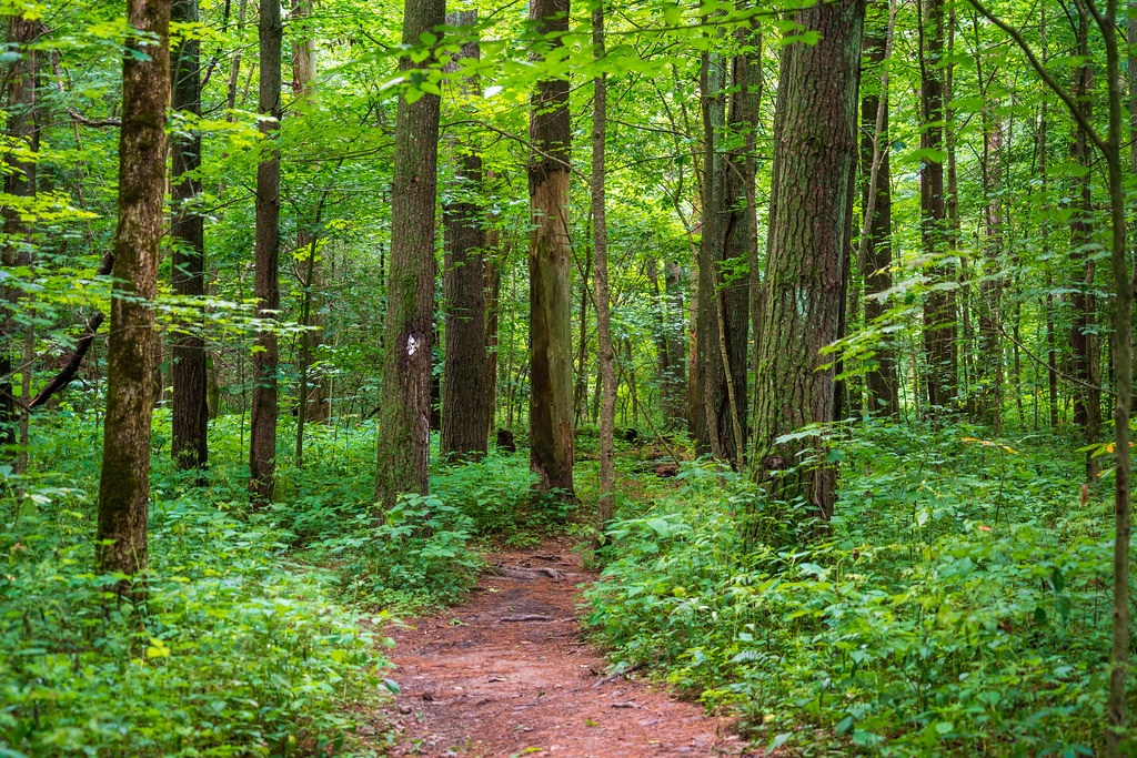 Photo: Wayne National Forest, Public Domain Mark (via Flickr)
Wildcat Hollow
~18 min drive
29.50-mile loop trail in Ohio with 1,495 ft elevation gain.
 Photo: Wayne National Forest, Public Domain Mark (via Flickr)
Wildcat Hollow
~21 min drive
0.39-mile out-and-back trail in Ohio with 54 ft elevation gain.
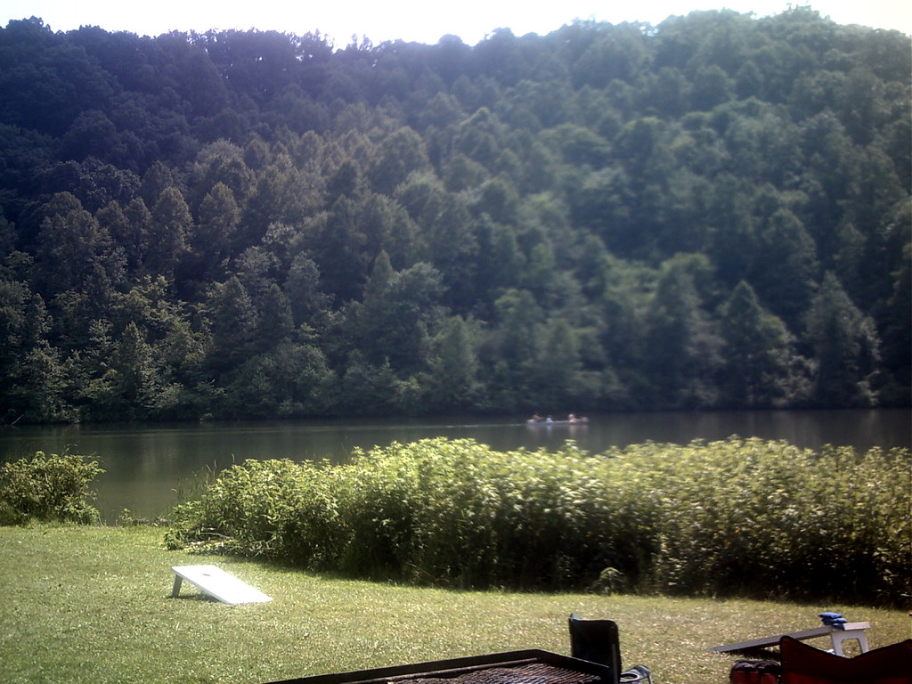 Photo: RJ Bailey, CC BY 2.0 (via Flickr)
Thunderbunny Trail
~22 min drive
2.67-mile out-and-back trail in Ohio with 973 ft gain.
 Photo: Wayne National Forest, Public Domain Mark (via Flickr)
Nebo Spirit
~25 min drive
10.45-mile out-and-back trail in Ohio with 1,070 ft elevation gain.
 Photo: MisterZero, CC BY-SA 3.0 (via Wikimedia Commons)
Lakeview Trail
~22 min drive
Easy 2-mile point-to-point lakeside trail with scenic water views.
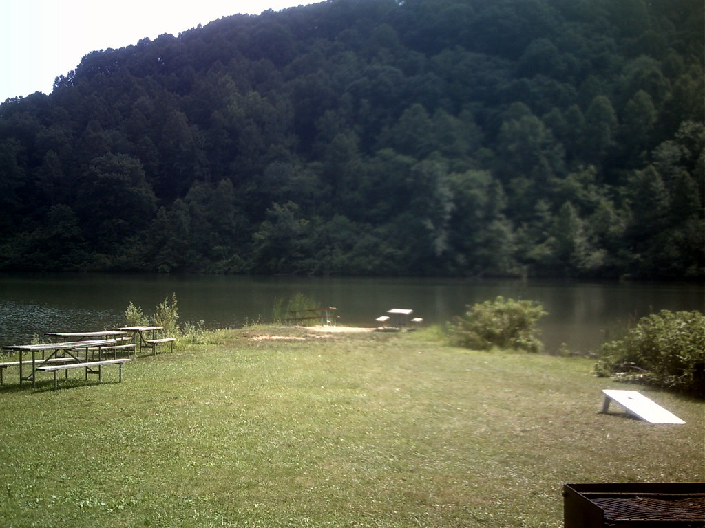 Photo: RJ Bailey, CC BY 2.0 (via Flickr)
Hollowpoint Trail
~22 min drive
3.14-mile out-and-back trail in Ohio with 1,075 ft elevation gain.
HIKE
Buckeye Trail (Stockport)
~21 min drive
17.35-mile point-to-point trail in Ohio with 1,751 ft elevation gain
Photo: RJ Bailey, CC BY 2.0 (via Flickr)Blackhaw Accessible Trail
~23 min drive
0.94-mile out-and-back trail in Ohio with 561 ft elevation gain.
Photo: MisterZero, CC BY-SA 3.0 (via Wikimedia Commons)Sundown Trail
~23 min drive
6.28-mile point-to-point trail in Ohio with 1,589 ft gain.
Photo: RJ Bailey, CC BY 2.0 (via Flickr)Broken Rock Trail
~23 min drive
1.29-mile point-to-point trail in Ohio with 323 ft gain.


Map and trail data © OpenStreetMap contributors
