Tomcat Trail
- 0.4 mi
- round trip
- 244 ft
- climb
- 732 ft
- high point
- Out and back
- route
- Jun–Oct
- best months
Tomcat Trail is a short, easy out-and-back hike in Ohio, about 0.2 miles from the town of Trimble. The route is roughly 0.8 miles long, with a total elevation gain of 244 feet, which makes it a gentle climb to a high point of 732 feet before returning to the starting point at about 684 feet. The trail is rated easy and takes about half an hour to complete. Late spring and early fall are the most comfortable times to go. Typical averages from a nearby weather station in Athens show May highs around 72°F and September highs around 76°F, with September seeing the fewest wet days of the year. Nearby, Sunday Creek offers canoeing about 1.7 miles away, and the Starin' Heron and Kidwell Trail hikes lie within about 4 miles. For an overnight stay, Burr Oak Campground is about 4.9 miles away.
 Sunday CreekCanoeingPhoto: Tim Kiser (w:User:Malepheasant), CC BY-SA 2.5 (via Wikimedia Commons)1.7 mi
 Starin' HeronHikingPhoto: Wayne National Forest, Public Domain Mark (via Flickr)3.9 mi
 Kidwell TrailHikingPhoto: Wayne National Forest, Public Domain Mark (via Flickr)4.1 mi
- TruetownHikingPhoto: Wayne National Forest, Public Domain Mark (via Flickr)4.1 mi
 Burr Oak CampgroundCampingPhoto: Wayne National Forest — Public Domain Mark 1.0 (via Flickr)4.9 mi
- West Branch Sunday CreekCanoeing5.8 mi
- Commitment BoulderRock climbing9.7 mi
- COAD BouldersRock climbing9.7 mi
Source: Roamze catalog (indexable pages within 10 miles, PostGIS distance)
- Kidwell TrailHiking · ~7 min drivePhoto: Wayne National Forest, Public Domain Mark (via Flickr)
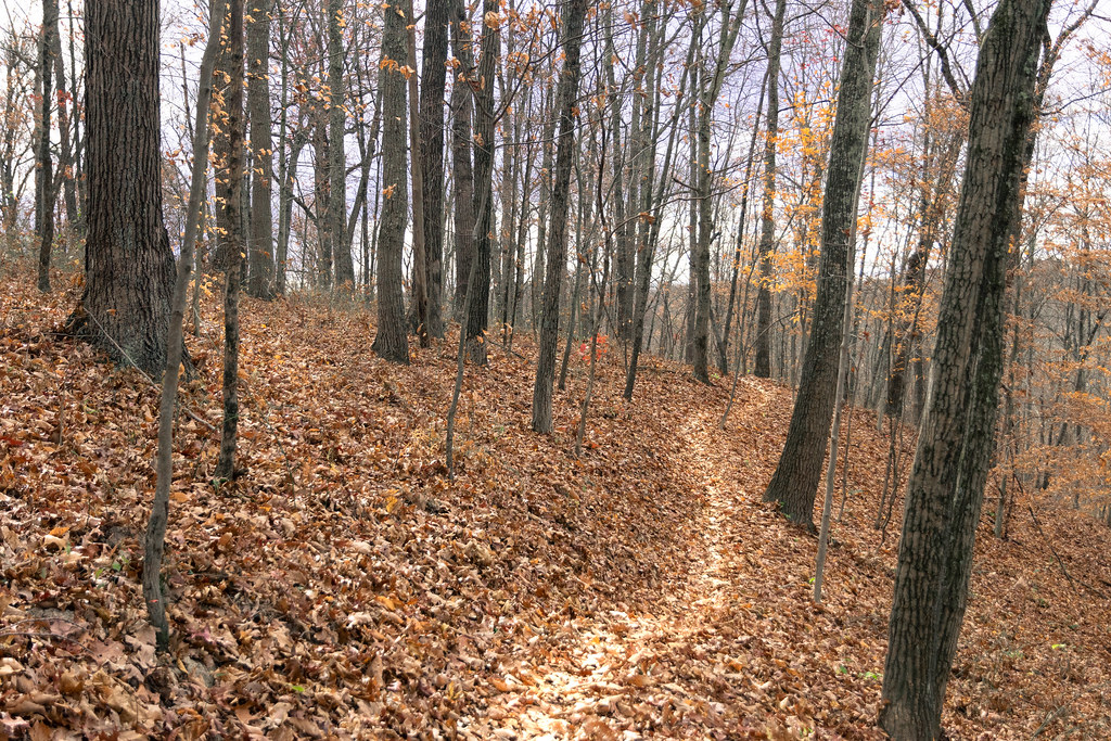 BloodrootHiking · ~7 min drivePhoto: Wayne National Forest, Public Domain Mark (via Flickr)
- Breaker BoyHiking · ~8 min drivePhoto: Wayne National Forest, Public Domain Mark (via Flickr)
- TruetownHiking · ~7 min drivePhoto: Wayne National Forest, Public Domain Mark (via Flickr)
 Nebo SpiritHiking · ~8 min drivePhoto: Wayne National Forest, Public Domain Mark (via Flickr)
 Red DogHiking · ~8 min drivePhoto: Wayne National Forest, Public Domain Mark (via Flickr)
 Tanager TwistHiking · ~8 min drivePhoto: Wayne National Forest, Public Domain Mark (via Flickr)
 The UndergroundHiking · ~10 min drivePhoto: Wayne National Forest, Public Domain Mark (via Flickr)
 SalameanderHiking · ~9 min drivePhoto: Wayne National Forest, Public Domain Mark (via Flickr)
- Bobcat RompHiking · ~8 min drivePhoto: Wayne National Forest, Public Domain Mark (via Flickr)
Also worth it near here
- Sunday CreekCanoeing · ~3 min drivePhoto: Tim Kiser (w:User:Malepheasant), CC BY-SA 2.5 (via Wikimedia Commons)
- KidwellMountain biking · ~7 min drive
 Burr Oak Cove CampgroundCamping · ~8 min drivePhoto: Wayne National Forest — Public Domain Mark 1.0 (via Flickr)
- Athens Ranger District - Athens AreaLake fishing · ~12 min drive
Best time to visit Tomcat Trail
Best months: June–October. Best months have typical highs of 55–85 °F, lows of 30 °F or warmer (32 °F where the station doesn't record snow), at most one snowy day and no more than 12 wet days.
Jan
38° / 22°
13 wet
Feb
42° / 23°
11 wet
Mar
52° / 30°
12 wet
Apr
65° / 40°
13 wet
May
72° / 50°
13 wet
Jun
80° / 59°
12 wet
Jul
82° / 63°
11 wet
Aug
81° / 61°
10 wet
Sep
76° / 54°
9 wet
Oct
65° / 42°
10 wet
Nov
53° / 32°
11 wet
Dec
43° / 27°
13 wet
Typical high / low (°F) and days with rain or snow, 1991–2020. Measured at Athens Ou, OH, 11.1 mi away at 684 ft. This station doesn't record snowfall. Source: NOAA NCEI U.S. Climate Normals 1991–2020.
Map and trail data © OpenStreetMap contributors
