Truetown
 Photo: Wayne National Forest, Public Domain Mark (via Flickr)
- 1.1 mi
- round trip
- 517 ft
- climb
- 942 ft
- high point
- Out and back
- route
- Jun–Oct
- best months
Is Truetown open right now?
Closure in the area
There's a closure order in Athens Ranger District. It doesn't name Truetown, so check the source for the area it covers (2 listed).
Greendale Connector, Greendale, Kacklemacker Loop, Bobcat trails Closure
Agency closure covering Athens Ranger District · Order 09-14-01-26-02 · USFS · Athens Ranger District
Lake Vesuvius Area Closure Public Health and Safety
Agency closure covering Wayne National Forest · USFS · Wayne National Forest
Timbre Ridge Lake Closure
Agency alert covering Wayne National Forest · Order 09-14-25-01 · USFS · Wayne National Forest
As of · Source: USFS · Athens Ranger District. Agencies don't list every closure — check before you go.
Truetown is a short, easy hike in the Athens Ranger District of Wayne National Forest in Ohio, about a mile from the town of Athens. The route is an out-and-back that climbs from a low point of 717 feet to a high of 942 feet, with a total gain of 517 feet over the round trip. The steepest stretch comes at about 0.4 miles in, where the grade reaches 16 percent. The trail is natural-surface and open year-round, and it takes about half an hour to complete. Bikes are allowed, but horses are not, and the trail is not accessible. Late spring and early fall are the most comfortable times to go. Typical averages from a nearby weather station in Athens run to highs around 72°F in May and 76°F in September, with September also seeing the fewest wet days of the year. Several other trails sit close by, including Kidwell Trail at 0.1 mile and Starin' Heron at 0.2 mile. For fishing, the Athens Ranger District - Athens Area is about 3 miles away, and Sunday Creek, a canoeing spot, is roughly 5 miles off.
Best time to go · Jun–Oct
Best time to visit Truetown
Best months: June–October. Best months have typical highs of 55–85 °F, lows of 30 °F or warmer (32 °F where the station doesn't record snow), at most one snowy day and no more than 12 wet days.
Jan
38° / 22°
13 wet
Feb
42° / 23°
11 wet
Mar
52° / 30°
12 wet
Apr
65° / 40°
13 wet
May
72° / 50°
13 wet
Jun
80° / 59°
12 wet
Jul
82° / 63°
11 wet
Aug
81° / 61°
10 wet
Sep
76° / 54°
9 wet
Oct
65° / 42°
10 wet
Nov
53° / 32°
11 wet
Dec
43° / 27°
13 wet
Typical high / low (°F) and days with rain or snow, 1991–2020. Measured at Athens Ou, OH, 8.4 mi away at 684 ft. This station doesn't record snowfall. Source: NOAA NCEI U.S. Climate Normals 1991–2020.
Keep exploring — more trails worth the drive
Photo: Wayne National Forest, Public Domain Mark (via Flickr)Kidwell Trail
Next door
0.40-mile out-and-back hike in Ohio with 59 ft of elevation gain.
 Photo: Wayne National Forest, Public Domain Mark (via Flickr)
Starin' Heron
Next door
3.53-mile out-and-back trail in Ohio with 558 ft elevation gain.
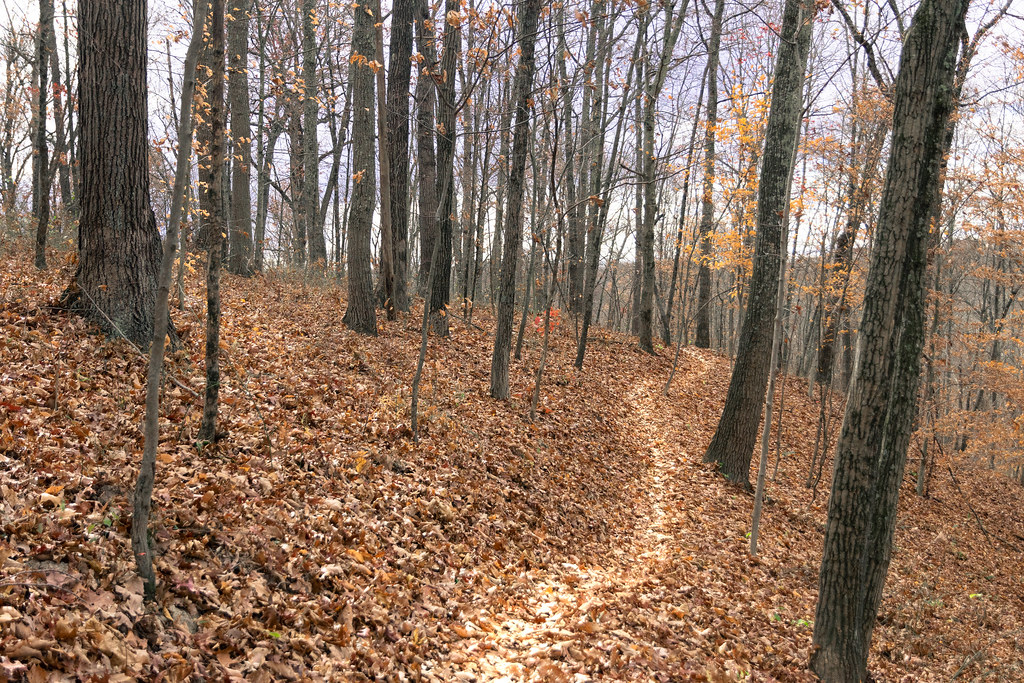 Photo: Wayne National Forest, Public Domain Mark (via Flickr)
Bloodroot
~2 min drive
17.12-mile out-and-back trail in Ohio with 1,188 ft elevation gain.
 Photo: Wayne National Forest, Public Domain Mark (via Flickr)
Tanager Twist
Next door
1.45-mile out-and-back trail in Ohio with 500 ft elevation gain.
Photo: Wayne National Forest, Public Domain Mark (via Flickr)Breaker Boy
~1 min drive
Breaker Boy is a 3.94-mile out-and-back trail in Ohio with 801 ft of elevation gain.
 Photo: Wayne National Forest, Public Domain Mark (via Flickr)
Nebo Spirit
~2 min drive
10.45-mile out-and-back trail in Ohio with 1,070 ft elevation gain.
Photo: Wayne National Forest, Public Domain Mark (via Flickr)Bobcat Romp
~1 min drive
1.33-mile out-and-back trail in Ohio with 398 ft elevation gain.
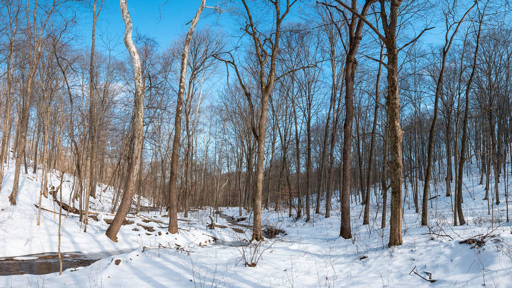 Photo: Wayne National Forest, Public Domain Mark (via Flickr)
Blue Devil
~2 min drive
5.33-mile out-and-back trail in Ohio with 761 ft elevation gain.
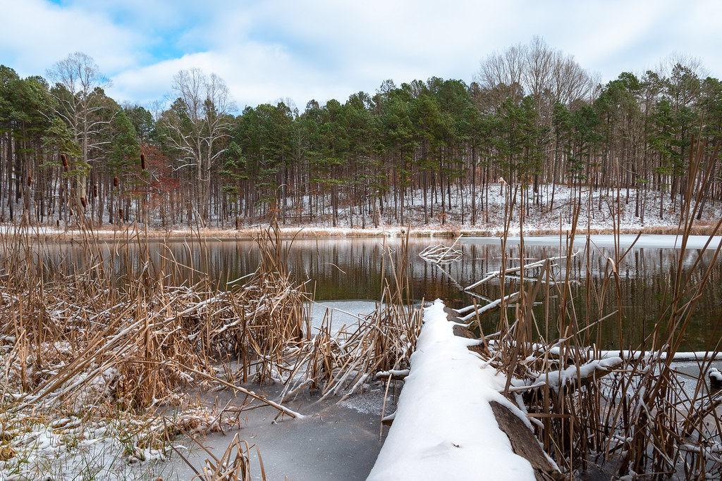 Photo: Wayne National Forest, Public Domain Mark (via Flickr)
The Underground
~3 min drive
8.51-mile out-and-back trail in Ohio with 892 ft elevation gain.
Photo: Wayne National Forest, Public Domain Mark (via Flickr)Bear-Corn Plunge
~2 min drive
Bear-Corn Plunge is a 1.18-mile out-and-back trail in Ohio with 299 feet of elevation gain.

