Telegraph Trail
 Photo: Wayne National Forest, Public Domain Mark (via Flickr)
- 6.2 mi
- round trip
- 2,007 ft
- climb
- 962 ft
- high point
- Out and back
- route
- Mar–Apr, Jun
- best months
Is Telegraph Trail open right now?
Closure in the area
There's a closure order in Wayne National Forest. It doesn't name Telegraph Trail, so check the source for the area it covers.
Lake Vesuvius Area Closure Public Health and Safety
Agency closure covering Wayne National Forest · USFS · Wayne National Forest
Timbre Ridge Lake Closure
Agency alert covering Wayne National Forest · Order 09-14-25-01 · USFS · Wayne National Forest
As of · Source: USFS · Wayne National Forest. Agencies don't list every closure — check before you go.
Telegraph Trail is a 12.48-mile out-and-back trail in Ohio with 2,007 feet of elevation gain and loss. The trail reaches a maximum elevation of 962 feet.
- Lyra TrailHikingPhoto: Wayne National Forest, Public Domain Mark (via Flickr)0.1 mi
- Wolcott TrailHiking0.1 mi
- Pine CreekCanoeing1.5 mi
- Wolcot TrailHikingPhoto: Wayne National Forest, Public Domain Mark (via Flickr)1.7 mi
- Bear Claw TrailHiking5.3 mi
- Holland ForkCanoeing8.3 mi
- Little Pine CreekCanoeing8.5 mi
- Black ForkCanoeing10 mi
Source: Roamze catalog (indexable pages within 10 miles, PostGIS distance)
- Wolcot TrailHiking · ~3 min drivePhoto: Wayne National Forest, Public Domain Mark (via Flickr)
 Rock House TrailHiking · ~19 min drivePhoto: dok1, CC BY 2.0 (via Wikimedia Commons)
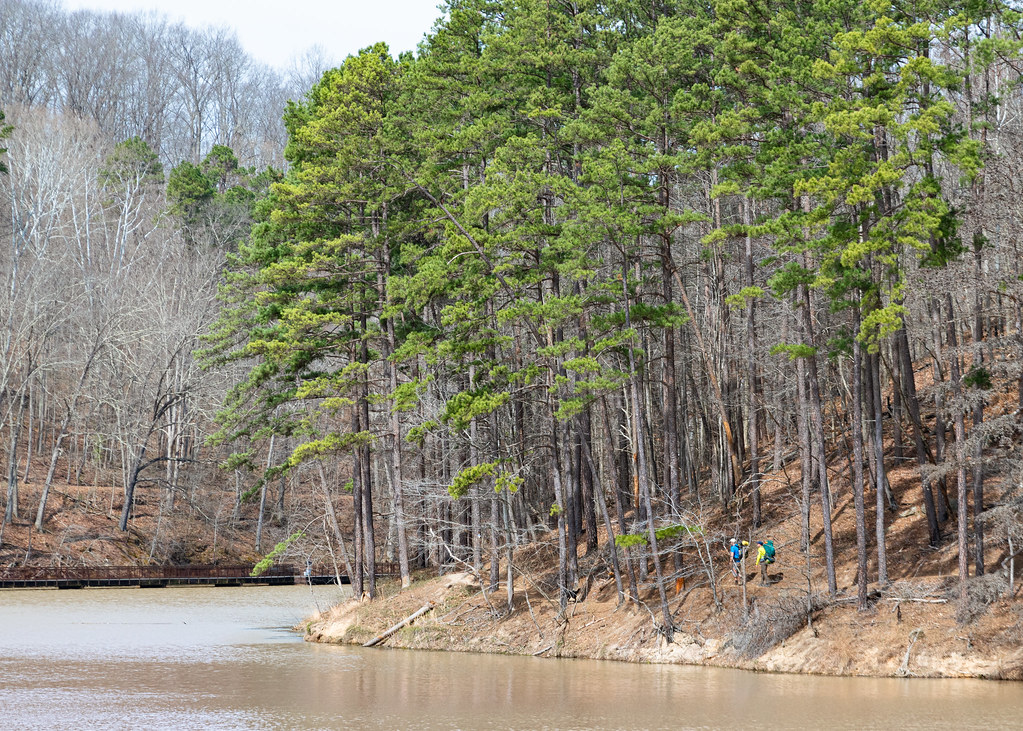 Lake ShoreHiking · ~19 min drivePhoto: Wayne National Forest, Public Domain Mark (via Flickr)
 Power Line TrailHiking · ~20 min drivePhoto: Wayne National Forest, Public Domain Mark (via Flickr)
- Black Oak TrailHiking · ~19 min drivePhoto: dok1, CC BY 2.0 (via Wikimedia Commons)
 Vesuvius Backpack TrailHiking · ~20 min drivePhoto: Wayne National Forest, Public Domain Mark (via Flickr)
 Copperhead TrailHiking · ~24 min drivePhoto: Wayne National Forest, Public Domain Mark (via Flickr)
 Whiskey RunHiking · ~19 min drivePhoto: Wayne National Forest, Public Domain Mark (via Flickr)
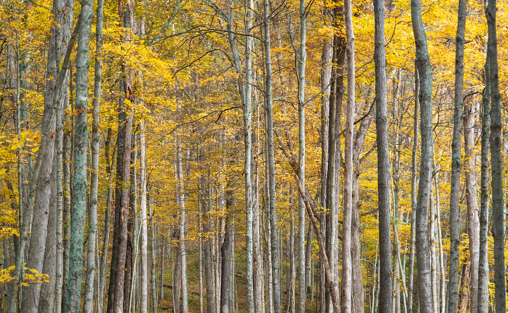 Vesuvius Main LoopHiking · ~20 min drivePhoto: Wayne National Forest, Public Domain Mark (via Flickr)
- The Ohio Hanging Rock TrailHiking · ~10 min drive
Best time to visit Telegraph Trail
Best months: March–April, June and September–November. Best months have typical highs of 55–85 °F, lows of 30 °F or warmer (32 °F where the station doesn't record snow), at most one snowy day and no more than 12 wet days.
Jan
41° / 23°
11 wet
Feb
45° / 25°
11 wet
Mar
55° / 33°
12 wet
Apr
67° / 42°
12 wet
May
76° / 52°
13 wet
Jun
83° / 61°
12 wet
Jul
87° / 65°
11 wet
Aug
86° / 63°
9 wet
Sep
80° / 56°
8 wet
Oct
69° / 44°
9 wet
Nov
56° / 33°
10 wet
Dec
46° / 28°
11 wet
Typical high / low (°F) and days with rain or snow, 1991–2020. Measured at Portsmouth-Sciotoville, OH, 10.5 mi away at 540 ft. This station doesn't record snowfall. Source: NOAA NCEI U.S. Climate Normals 1991–2020.
Map and trail data © OpenStreetMap contributors
