Music Street Link
- 0.7 mi
- round trip
- 129 ft
- climb
- 1,211 ft
- high point
- Out and back
- route
- Jun–Sep
- best months
Music Street Link is a short, easy out-and-back hike in The West Woods, a county-managed parcel in Ohio. The route is about 1.3 miles long, with a total elevation gain of 129 feet, and it starts and ends at roughly 1,187 feet. The climb is front-loaded, with the steepest stretch at about 0.06 miles in, and the high point reaches 1,211 feet. The hike is best done in late spring or early fall. Typical averages from a nearby weather station in Chardon put May highs around 69°F and September highs around 73°F, with July the warmest month at about 81°F. The trip takes about half an hour, so it works well as a quick outing. Kettle Trail lies about 6.4 miles away, Aurora Branch offers canoeing about 7.5 miles off, and the Northeast Ohio climbing area is about 8 miles away.
Best time to go · Jun–Sep
Best time to visit Music Street Link
Best months: June–September. Best months have typical highs of 55–85 °F, lows of 30 °F or warmer (32 °F where the station doesn't record snow), at most one snowy day and no more than 12 wet days.
Jan
32° / 17°
19 wet
Feb
35° / 16°
15 wet
Mar
44° / 24°
14 wet
Apr
58° / 35°
14 wet
May
69° / 46°
14 wet
Jun
77° / 55°
12 wet
Jul
81° / 59°
12 wet
Aug
79° / 57°
11 wet
Sep
73° / 51°
11 wet
Oct
61° / 41°
14 wet
Nov
48° / 32°
15 wet
Dec
38° / 24°
18 wet
Typical high / low (°F) and days with rain or snow, 1991–2020. Measured at Chardon, OH, 11 mi away at 1,130 ft. This station doesn't record snowfall. Source: NOAA NCEI U.S. Climate Normals 1991–2020.
Keep exploring — more trails worth the drive
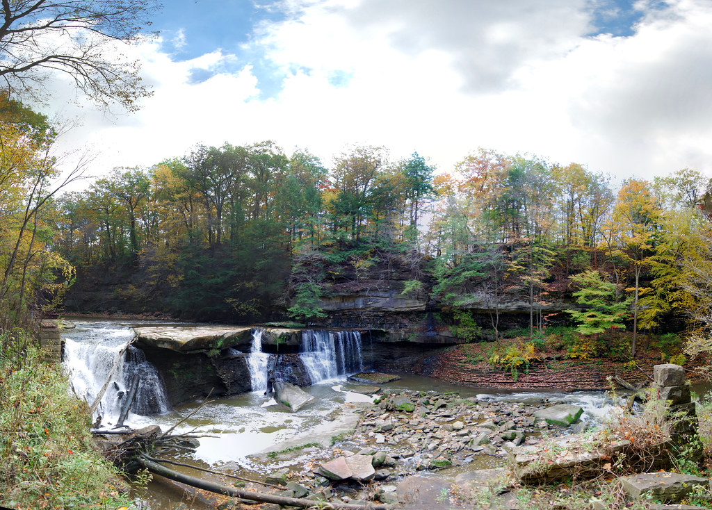 Photo: RuggyBearLA, CC BY 2.0 (via Flickr)
Bridle Trail
~22 min drive
Bridle Trail is a 3.9-mile out-and-back trail in Ohio with 202 feet of elevation gain.
 Photo: david_e_waldron, Public Domain Dedication (CC0) (via Flickr)
Bike & Hike Trail
~29 min drive
21.3-mile out-and-back trail in Ohio with 283 ft elevation gain.
 Photo: Rob Norris, CC0 (via Wikimedia Commons)
Buckeye Trail (Medina)
~32 min drive
55.83-mile point-to-point trail in Ohio with 1,662 ft elevation gain.
HIKE
Buckeye Trail (Burton)
~25 min drive
60.07-mile point-to-point trail in Ohio with 2,548 ft gain.
 Photo: betsyweber, CC BY 2.0 (via Flickr)
Parallel Universe
~23 min drive
0.43-mile out-and-back trail in Ohio with 73 ft elevation gain
HIKE
Headwaters Trail
~25 min drive
2.90-mile out-and-back trail in Ohio with 343 ft gain.
 Photo: david_e_waldron, Public Domain Dedication (CC0) (via Flickr)
Moore Trails!
~23 min drive
0.33-mile out-and-back trail in Ohio with 135 ft of elevation gain.
Photo: david_e_waldron, Public Domain Dedication (CC0) (via Flickr)Parallel Universe
~23 min drive
0.67-mile out-and-back trail in Ohio with 91 ft gain.
Photo: david_e_waldron, Public Domain Dedication (CC0) (via Flickr)Friendship Trail
~23 min drive
0.30-mile out-and-back hike in Ohio with 83 ft elevation gain.
 Photo: RuggyBearLA, CC BY 2.0 (via Flickr)
Eddie's Wildlife Pass
~24 min drive
1.36-mile out-and-back trail in Ohio with 269 ft gain.

Map and trail data © OpenStreetMap contributors
