Parallel Universe
 Photo: betsyweber, CC BY 2.0 (via Flickr)
- 0.4 mi
- round trip
- 134 ft
- climb
- 931 ft
- high point
- Out and back
- route
- Jun–Oct
- best months
Is Parallel Universe open right now?
Closure in the area
There's a closure order in Cuyahoga Valley National Park. It doesn't name Parallel Universe, so check the source for the area it covers.
Towpath Trail between Boston and Peninsula
Park closure covering Cuyahoga Valley National Park · NPS · Cuyahoga Valley National Park
Vehicle Break-in and Theft Warning
Park alert covering Cuyahoga Valley National Park · NPS · Cuyahoga Valley National Park
As of · Source: NPS · Cuyahoga Valley National Park. Agencies don't list every closure — check before you go.
Parallel Universe is a short, easy hike in Cuyahoga Valley National Park in Ohio, about 0.4 miles from Shawnee Hills Golf Course. The route is an out-and-back of roughly 0.86 miles, with a total climb of about 134 feet and a steady grade that peaks at about 3% near the start. Late spring and early fall are the most comfortable times to go. Typical averages from a nearby weather station in Cleveland run to highs around 68°F in May and 74°F in September, with July the warmest month at about 81°F. Several other trails sit close by. Volunteer Spirit and Moore Trails! are each about 0.1 mile away, Friendship Trail is about 0.4 mile off, and Eddie's Wildlife Pass is about 0.7 mile away.
Best time to go · Jun–Oct
Best time to visit Parallel Universe
Best months: June–October. Best months have typical highs of 55–85 °F, lows of 30 °F or warmer (32 °F where the station doesn't record snow), at most one snowy day and no more than 12 wet days.
Jan
35° / 24°
11 wet
Feb
37° / 25°
10 wet
Mar
45° / 31°
12 wet
Apr
57° / 41°
13 wet
May
68° / 53°
14 wet
Jun
77° / 63°
12 wet
Jul
81° / 68°
10 wet
Aug
80° / 67°
10 wet
Sep
74° / 60°
10 wet
Oct
62° / 49°
12 wet
Nov
51° / 38°
12 wet
Dec
40° / 30°
12 wet
Typical high / low (°F) and days with rain or snow, 1991–2020. Measured at Cleveland Burke Ap, OH, 11.8 mi away at 584 ft. This station doesn't record snowfall. Source: NOAA NCEI U.S. Climate Normals 1991–2020.
Keep exploring — more trails worth the drive
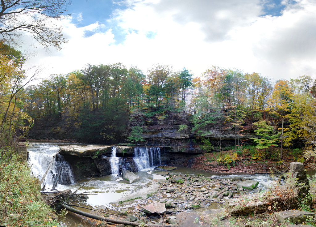 Photo: RuggyBearLA, CC BY 2.0 (via Flickr)
Volunteer Spirit
Next door
0.75-mile loop trail in Ohio with 126 ft of elevation gain.
 Photo: Rob Norris, CC0 (via Wikimedia Commons)
Buckeye Trail (Medina)
~11 min drive
55.83-mile point-to-point trail in Ohio with 1,662 ft elevation gain.
 Photo: david_e_waldron, Public Domain Dedication (CC0) (via Flickr)
Bike & Hike Trail
~12 min drive
21.3-mile out-and-back trail in Ohio with 283 ft elevation gain.
 Photo: david_e_waldron, Public Domain Dedication (CC0) (via Flickr)
Moore Trails!
Next door
0.33-mile out-and-back trail in Ohio with 135 ft of elevation gain.
Photo: david_e_waldron, Public Domain Dedication (CC0) (via Flickr)Friendship Trail
Next door
0.30-mile out-and-back hike in Ohio with 83 ft elevation gain.
Photo: david_e_waldron, Public Domain Dedication (CC0) (via Flickr)Parallel Universe
Next door
0.67-mile out-and-back trail in Ohio with 91 ft gain.
Photo: RuggyBearLA, CC BY 2.0 (via Flickr)Bridle Trail
Next door
Bridle Trail is a 3.9-mile out-and-back trail in Ohio with 202 feet of elevation gain.
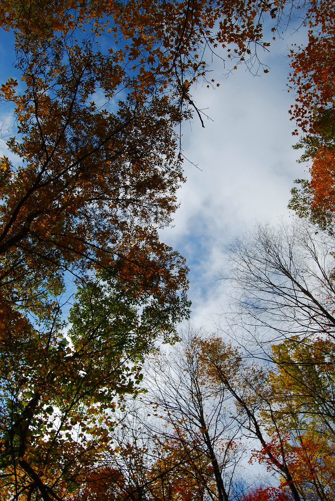 Photo: RuggyBearLA, CC BY 2.0 (via Flickr)
Eddie's Wildlife Pass
~1 min drive
1.36-mile out-and-back trail in Ohio with 269 ft gain.
Photo: RuggyBearLA, CC BY 2.0 (via Flickr)Wild Oaks Loop
~1 min drive
Easy 2.3-mile out-and-back woodland walk through Ohio oak forests.
 Photo: RuggyBearLA, CC BY 2.0 (via Flickr)
Karl's Corner
~2 min drive
0.33-mile loop at Karl's Corner in Ohio with 41 ft elevation gain.
Map and trail data © OpenStreetMap contributors
