Kinderhook Council
- 2.8 mi
- loop
- 91 ft
- climb
- 1,078 ft
- high point
- Loop
- route
- Apr, Jun–Oct
- best months
Is Kinderhook Council open right now?
Closure in the area
There's a closure order in Athens Ranger District. It doesn't name Kinderhook Council, so check the source for the area it covers (2 listed).
Greendale Connector, Greendale, Kacklemacker Loop, Bobcat trails Closure
Agency closure covering Athens Ranger District · Order 09-14-01-26-02 · USFS · Athens Ranger District
Lake Vesuvius Area Closure Public Health and Safety
Agency closure covering Wayne National Forest · USFS · Wayne National Forest
Timbre Ridge Lake Closure
Agency alert covering Wayne National Forest · Order 09-14-25-01 · USFS · Wayne National Forest
As of · Source: USFS · Athens Ranger District. Agencies don't list every closure — check before you go.
Kinderhook Council is an easy hike of about 2.8 miles on a gravel trail in the Athens Ranger District of Wayne National Forest in Ohio. The route gains about 91 feet of elevation, with the high point at 1,078 feet and the low at 1,009 feet, so the climb is gentle and the steepest section comes around the 0.8-mile mark with a 7% grade. The Forest Service manages the land. The trail is open year-round. It is not accessible, and the surface is gravel, so plan for a walk rather than a run. Horses and bikes are both allowed, which makes it a good option for riders or equestrians looking for a short outing. For comfortable weather, late spring and early fall stand out. Typical averages from the nearby Newport, Ohio weather station put May highs around 74°F and September highs near 78°F, with September seeing the fewest wet days of the year. That station sits about 400 feet lower than the trail, so temperatures on the route run a little cooler. Kinderhook Campfire and Kinderhook Pawpaw are both within a mile, and Kinderhook Long Loop lies about 1.4 miles away. Leith Run Campground is roughly 3.9 miles off and offers a place to camp.
Best time to go · Apr, Jun–Oct
Best time to visit Kinderhook Council
Best months: April and June–October. Best months have typical highs of 55–85 °F, lows of 30 °F or warmer (32 °F where the station doesn't record snow), at most one snowy day and no more than 12 wet days.
Jan
39° / 22°
14 wet
Feb
43° / 23°
12 wet
Mar
53° / 30°
12 wet
Apr
66° / 39°
12 wet
May
74° / 50°
13 wet
Jun
81° / 59°
11 wet
Jul
84° / 64°
11 wet
Aug
83° / 62°
9 wet
Sep
78° / 55°
8 wet
Oct
67° / 43°
9 wet
Nov
54° / 33°
10 wet
Dec
44° / 27°
13 wet
Typical high / low (°F) and days with rain or snow, 1991–2020. Measured at Newport, OH, 2.6 mi away at 676 ft. This station doesn't record snowfall. Source: NOAA NCEI U.S. Climate Normals 1991–2020.
Keep exploring — more trails worth the drive
 Photo: Wayne National Forest, Public Domain Mark (via Flickr)
Kinderhook Pawpaw
~2 min drive
1.76-mile out-and-back trail in Ohio with 94 ft elevation gain.
 Photo: Erjkprunczyk - Sporadic, CC BY-SA 2.0 (via Wikimedia Commons)
Kinderhook Long Loop
~2 min drive
10.37-mile loop trail in Ohio with 1,508 ft elevation gain/loss.
Photo: Erjkprunczyk - Sporadic, CC BY-SA 2.0 (via Wikimedia Commons)Kinderhook TH Connector
~3 min drive
0.32-mile out-and-back trail in Ohio with 25 ft of elevation gain.
HIKE
Bt/nct Marietta
~6 min drive
56.11-mile point-to-point trail in Ohio with 7,446 ft elevation gain.
 Photo: MisterZero, CC BY-SA 3.0 (via Wikimedia Commons)
White Oak Ridge
~24 min drive
4.78-mile out-and-back trail in West Virginia with 1,184 ft elevation gain
 Photo: Wayne National Forest, Public Domain Mark (via Flickr)
Archers Fork Loop
~12 min drive
9.34-mile out-and-back trail in Ohio with 1,549 ft elevation gain
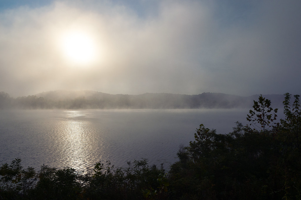 Photo: Wayne National Forest, Public Domain Mark (via Flickr)
Headland Trail
~3 min drive
1.17-mile loop trail in Ohio with 309 ft elevation gain and loss.
HIKE
Ohio View Trail
~12 min drive
7.40-mile out-and-back trail in West Virginia with 1,594 ft elevation gain.
HIKE
Green Wood Trail
~6 min drive
A 6.72-mile point-to-point woodland hike through Ohio forests.
HIKE
Scenic River
~7 min drive
8.05-mile out-and-back trail along Scenic River in Ohio with 616 ft gain.
