Back Channel Trail
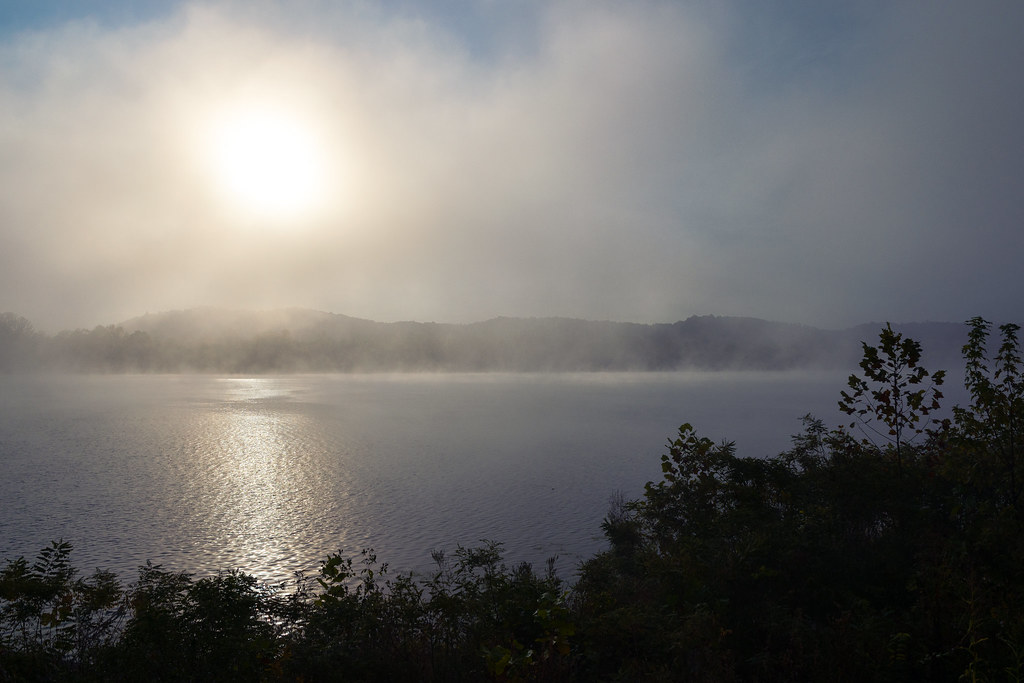 Photo: Wayne National Forest, Public Domain Mark (via Flickr)
- 0.8 mi
- round trip
- 240 ft
- climb
- 624 ft
- high point
- Out and back
- route
- Apr, Jun–Oct
- best months
Back Channel Trail is a short, easy out-and-back hike on the Ohio River Islands National Wildlife Refuge in southern Ohio, managed by the U.S. Fish and Wildlife Service. The trail is about 0.8 miles long, with a total elevation gain of 240 feet over the round trip, and it takes roughly half an hour to complete. The route starts at an elevation of about 617 feet and reaches a high point of 624 feet before returning to the starting level. The steepest stretch comes at about 0.58 miles in, with a grade of about 2 percent. The trail is a low-commitment outing, and the climb is gentle enough to fit easily into a longer day on the refuge. For comfortable weather, aim for late spring or early fall. Typical averages from a nearby weather station in Newport, Ohio, show May highs around 74°F and September highs around 78°F, with September also seeing the fewest wet days of the year. The Nature Trail lies just 0.2 miles away, and the Headland Trail is about 0.8 miles off. For an overnight stay, Kinderhook Horse Trailhead is about 1.1 miles away, and Greenwood Trail Boulders, a climbing area, is roughly 3.9 miles away.
- Nature TrailHikingPhoto: Wayne National Forest, Public Domain Mark (via Flickr)0.2 mi
- Headland TrailHikingPhoto: Wayne National Forest, Public Domain Mark (via Flickr)0.8 mi
- Kinderhook Horse TrailheadCamping1.1 mi
 Kinderhook TH ConnectorHikingPhoto: Erjkprunczyk - Sporadic, CC BY-SA 2.0 (via Wikimedia Commons)1.2 mi
- Greenwood Trail BouldersRock climbing3.9 mi
 Leith RunSaltwater fishing4.2 mi
- Leith Run CampgroundCamping4.2 mi
- Bell Ridge BouldersRock climbing5.5 mi
Source: Roamze catalog (indexable pages within 10 miles, PostGIS distance)
- Nature TrailHiking · Next doorPhoto: Wayne National Forest, Public Domain Mark (via Flickr)
- Kinderhook Long LoopHiking · ~2 min drivePhoto: Erjkprunczyk - Sporadic, CC BY-SA 2.0 (via Wikimedia Commons)
 Kinderhook PawpawHiking · ~3 min drivePhoto: Wayne National Forest, Public Domain Mark (via Flickr)
- Bt/nct MariettaHiking · ~8 min drive
- Back Channel TrailHiking · ~1 min drivePhoto: Erjkprunczyk - Sporadic, CC BY-SA 2.0 (via Wikimedia Commons)
 Archers Fork LoopHiking · ~15 min drivePhoto: Wayne National Forest, Public Domain Mark (via Flickr)
 White Oak RidgeHiking · ~21 min drivePhoto: MisterZero, CC BY-SA 3.0 (via Wikimedia Commons)
- Ohio View TrailHiking · ~12 min drive
- Headland TrailHiking · ~1 min drivePhoto: Wayne National Forest, Public Domain Mark (via Flickr)
 Warrior RidgeHiking · ~22 min drivePhoto: MisterZero, CC BY-SA 3.0 (via Wikimedia Commons)
Best time to visit Back Channel Trail
Best months: April and June–October. Best months have typical highs of 55–85 °F, lows of 30 °F or warmer (32 °F where the station doesn't record snow), at most one snowy day and no more than 12 wet days.
Jan
39° / 22°
14 wet
Feb
43° / 23°
12 wet
Mar
53° / 30°
12 wet
Apr
66° / 39°
12 wet
May
74° / 50°
13 wet
Jun
81° / 59°
11 wet
Jul
84° / 64°
11 wet
Aug
83° / 62°
9 wet
Sep
78° / 55°
8 wet
Oct
67° / 43°
9 wet
Nov
54° / 33°
10 wet
Dec
44° / 27°
13 wet
Typical high / low (°F) and days with rain or snow, 1991–2020. Measured at Newport, OH, 1 mi away at 676 ft. This station doesn't record snowfall. Source: NOAA NCEI U.S. Climate Normals 1991–2020.
Map and trail data © OpenStreetMap contributors
