Buffalo Gap Loop
- 2.7 mi
- loop
- 70 ft
- climb
- 2,629 ft
- high point
- Loop
- route
- May–Jun, Aug–Oct
- best months
Is Buffalo Gap Loop open right now?
Alert in the area
The Forest Service lists 5 alerts for Dakota Prairie Grasslands.
Firewood Use and Possession Restrictions
Agency alert covering Dakota Prairie Grasslands · USFS · Dakota Prairie Grasslands
Road Closure-NFSR 735A-9
Agency alert covering Medora Ranger District · USFS · Medora Ranger District
Little Missouri National Grassland Fire Closure Order # 01-18-00-26-02
Agency alert covering Dakota Prairie Grasslands · USFS · Dakota Prairie Grasslands
South Dakota Grassland Fire Danger Map
Agency alert covering Dakota Prairie Grasslands · USFS · Dakota Prairie Grasslands
North Dakota Burn Restrictions & Fire Danger Maps
Agency alert covering Dakota Prairie Grasslands · USFS · Dakota Prairie Grasslands
As of · Source: USFS · Dakota Prairie Grasslands. Agencies don't list every closure — check before you go.
Buffalo Gap Loop is a 2.7-mile easy hike in the Medora Ranger District of the Dakota Prairie Grasslands, managed by the Forest Service. It sits about 0.1 mile from Buffalo Gap Campground, the closest neighbor, and the trail is rated easy with a total elevation gain of 70 feet. The route is a natural-surface loop with a low point of 2,548 feet and a high of 2,629 feet. The steepest stretch comes at about 1.2 miles in, with a 6% grade. Bikes and horses are both allowed. Summer is the most comfortable time to go. Typical averages from the nearby Medora weather station show July highs around 86°F and lows near 56°F, while winter highs stay in the 20s and 30s with regular snow days. Buffalo Gap Spur is about 0.9 mile away, and Medora Interstate Rocks offers climbing about 3.9 miles off. Square Butte Bouldering is about 6.1 miles away, and Little Missouri National Grassland is about 7.7 miles away.
Best time to go · May–Jun, Aug–Oct
Best time to visit Buffalo Gap Loop
Best months: May–June and August–October. Best months have typical highs of 55–85 °F, lows of 30 °F or warmer (32 °F where the station doesn't record snow), at most one snowy day and no more than 12 wet days.
Jan
28° / 3°
6 wet · 5 snow
Feb
32° / 8°
5 wet · 4 snow
Mar
44° / 18°
6 wet · 3 snow
Apr
55° / 29°
7 wet · 1 snow
May
67° / 41°
10 wet
Jun
77° / 50°
11 wet
Jul
86° / 56°
9 wet
Aug
85° / 53°
7 wet
Sep
74° / 43°
7 wet
Oct
58° / 30°
7 wet · 1 snow
Nov
42° / 18°
5 wet · 3 snow
Dec
31° / 7°
6 wet · 5 snow
Typical high / low (°F) and days with rain or snow, 1991–2020. Measured at Medora, ND, 7.5 mi away at 2,268 ft. Source: NOAA NCEI U.S. Climate Normals 1991–2020.
Keep exploring — more trails worth the drive
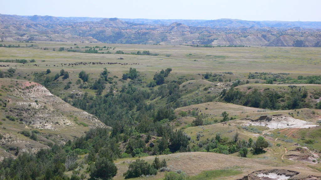 Photo: sirrobot, CC BY 2.0 (via Flickr)
Big Plateau Trail
~12 min drive
3.98-mile out-and-back hike in North Dakota with 461 ft gain.
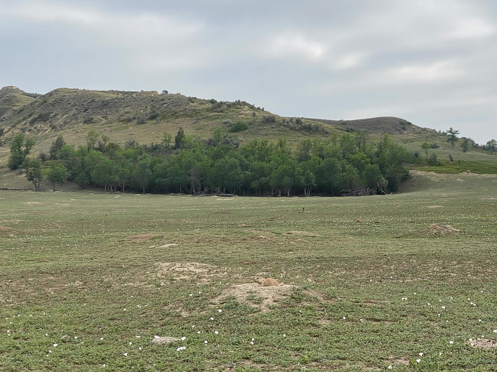 Photo: daveynin, CC BY 2.0 (via Flickr)
Lone Tree Trail
~14 min drive
7.88-mile out-and-back hike in North Dakota with 468 ft elevation gain.
 Photo: Matt-Zimmerman, CC BY 2.0 (via Flickr)
Upper Paddock Creek Trail
~20 min drive
15.44-mile out-and-back trail in North Dakota with 752 ft gain.
HIKE
Buffalo Gap
~3 min drive
37.76-mile out-and-back trail in North Dakota with 1,448 ft gain.
Photo: daveynin, CC BY 2.0 (via Flickr)Ekblom Trail
~14 min drive
2.38-mile out-and-back trail in North Dakota with 31 ft of elevation gain.
 Photo: Sharon Mollerus, CC BY 2.0 (via Flickr)
Roundup Camp Trail
~16 min drive
6.48-mile out-and-back hike in North Dakota with 412 ft of elevation gain.
HIKE
Buffalo Gap
~6 min drive
11.90-mile out-and-back trail in North Dakota with 627 ft elevation gain.
 Photo: CLS Rob, CC BY-SA 2.0 (via Flickr)
Maah Daah Hey
~14 min drive
0.37-mile out-and-back trail in North Dakota with 15 ft of elevation gain.
HIKE
Mike Auney Trail
~15 min drive
5.58-mile out-and-back trail in North Dakota with 502 ft elevation gain.
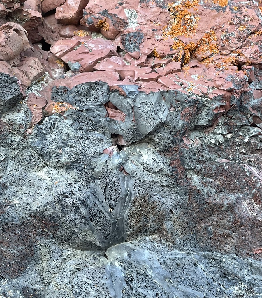 Photo: Seth Tisue, CC BY-SA 2.0 (via Flickr)
Peacefull Valley Ranch
~14 min drive
Peacefull Valley Ranch is a 0.68-mile out-and-back trail in North Dakota.

