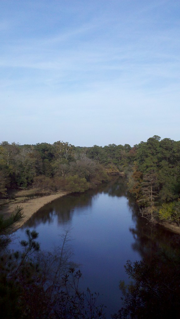
Wheat Swamp
- 12.9 mi
- distance
- 96 ft
- high point
- Sep–May
- best months
Wheat Swamp is a 13-mile paddling stretch near Hookerton, North Carolina, about 0.7 miles from Wootens Crossroads. It flows year-round, with an average flow of about 33 cubic feet per second and a gradient of about 5.4 feet per mile, according to USGS models. Spring and fall are the most comfortable times to paddle. Typical averages from a nearby weather station in Kinston show October highs around 76°F with lows near 53°F, and April highs around 75°F. July is the warmest month, with typical highs near 91°F. Falling Creek, a canoeing route, lies about 7 miles away. Hikers can reach the Beaver Trail H - Brown, the Spirit Trail G - Red and the Cypress Swamp Trail E - Teal, all within about 8.5 miles.
- Falling CreekCanoeing7.3 mi
- Beaver Trail H - BrownHiking8.5 mi
- Spirit Trail G - RedHiking8.5 mi
- Cypress Swamp Trail E - TealHiking8.6 mi
- Bird Trail D - YellowHiking8.7 mi
Source: Roamze catalog (indexable pages within 10 miles, PostGIS distance)
- Falling CreekCanoeing · ~13 min drive
- State Park Canoe Tie-UoBoat launch · ~31 min drive
- Mountains-to-Sea Trail: Segment 11A-16ACanoeing · ~18 min drive
- Cliffs of the Neusse Canoe LaunchBoat launch · ~32 min drive
- Mosley CreekCanoeing · ~21 min drive
- Prices landing boating access areaBoat launch · ~33 min drive
- Southwest CreekCanoeing · ~21 min drive
- Goldsborough Boating Access AreaBoat launch · ~40 min drive
- Bear CreekCanoeing · ~22 min drive
- Mason's LandingBoat launch · ~55 min drive
Best time to visit Wheat Swamp
Best months: September–May. Best months have typical highs of 55–85 °F, lows of 30 °F or warmer (32 °F where the station doesn't record snow), at most one snowy day and no more than 12 wet days.
Jan
56° / 35°
8 wet
Feb
60° / 37°
8 wet
Mar
67° / 42°
8 wet
Apr
75° / 51°
8 wet
May
82° / 59°
8 wet
Jun
88° / 68°
9 wet
Jul
91° / 71°
11 wet
Aug
89° / 70°
10 wet
Sep
84° / 64°
8 wet
Oct
76° / 53°
7 wet
Nov
67° / 44°
7 wet
Dec
59° / 38°
8 wet
Typical high / low (°F) and days with rain or snow, 1991–2020. Measured at Kinston Ag Rsch, NC, 5.8 mi away at 60 ft. Source: NOAA NCEI U.S. Climate Normals 1991–2020.