Cypress Swamp Trail E - Teal
- 0.3 mi
- round trip
- 78 ft
- climb
- 62 ft
- high point
- Out and back
- route
- Sep–May
- best months
Cypress Swamp Trail E - Teal is an easy, short out-and-back hike in North Carolina's Cypress Swamp, about 1.8 miles from the community of Scuffleton. The route is 0.6 miles long, with a total elevation gain of 78 feet, so it works well as a quick stop or a link in a longer walk through the swamp's network of trails. The hike starts at a low point of about 31 feet and climbs to a high of 62 feet, with the steepest part coming within the first 0.14 miles. The climb is front-loaded, and the trail returns to the starting elevation, making the round trip a little over 0.6 miles. Spring and fall are the most comfortable times to go. Typical averages from a nearby weather station show October highs around 76°F with lows near 53°F, and April highs around 75°F. July is the warmest month, with typical highs near 91°F and the most wet days of the year. Several other trails sit close by. Bird Trail D - Yellow is about 0.1 mile away, and Beaver Trail H - Brown and Spirit Trail G - Red are each about 0.3 mile away. For paddling, Swift Creek is about 5.7 miles off.
- Bird Trail D - YellowHiking0.1 mi
- Beaver Trail H - BrownHiking0.3 mi
- Spirit Trail G - RedHiking0.3 mi
- Swift CreekCanoeing5.7 mi
- Grinnel SloughCanoeing8.5 mi
- Wheat SwampCanoeing8.6 mi
- Fork Swamp TrailHiking9.9 mi
Source: Roamze catalog (indexable pages within 10 miles, PostGIS distance)
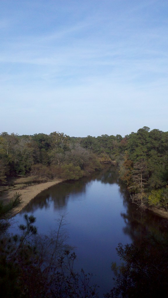 Spanish Moss TrailHiking · ~46 min drivePhoto: bobistraveling, CC BY 2.0 (via Flickr)
 Spanish Moss TrailHiking · ~46 min drivePhoto: Gerry Dincher, CC BY-SA 2.0 (via Flickr)
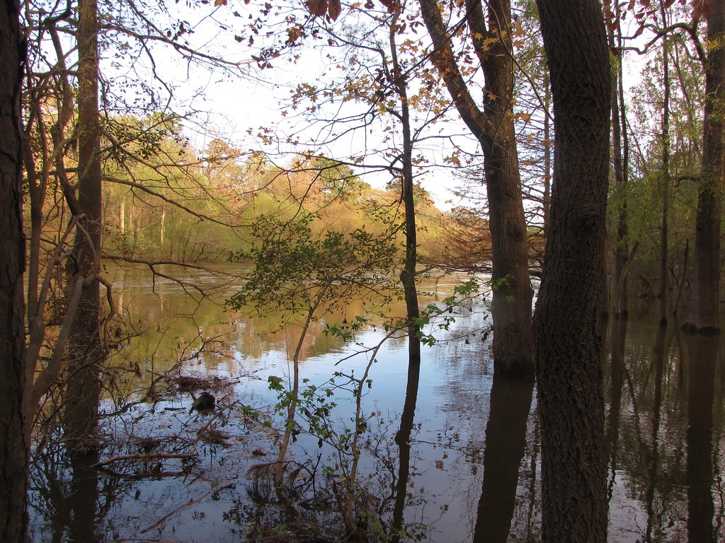 Galax TrailHiking · ~46 min drivePhoto: Gerry Dincher, CC BY-SA 2.0 (via Flickr)
- Old Wagon PathHiking · ~46 min drivePhoto: Gerry Dincher, CC BY-SA 2.0 (via Flickr)
 Lake TrailHiking · ~47 min drivePhoto: Gerry Dincher, CC BY-SA 2.0 (via Flickr)
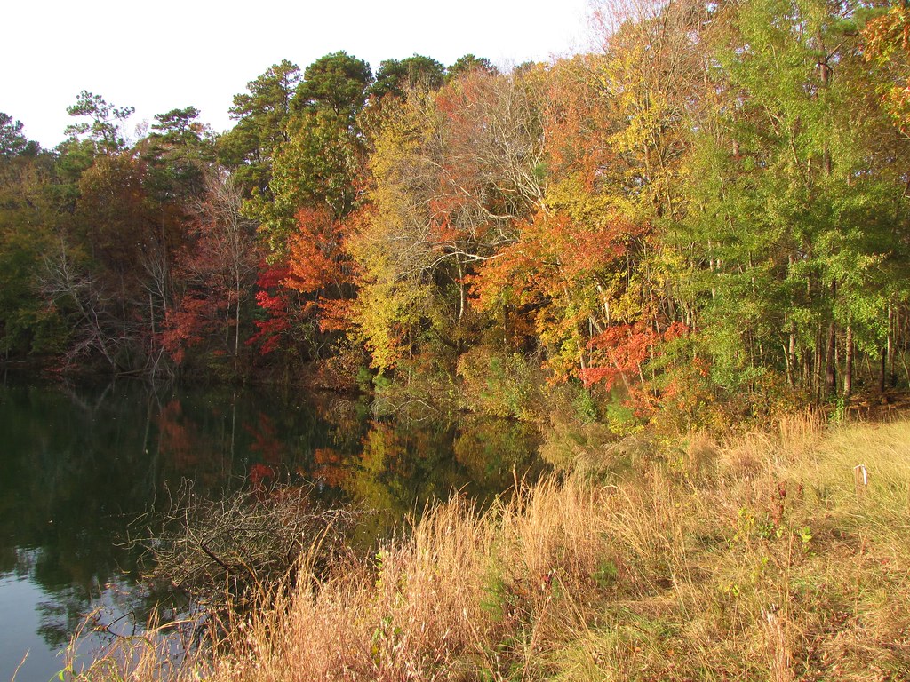 Long Leaf TrailHiking · ~47 min drivePhoto: Gerry Dincher, CC BY-SA 2.0 (via Flickr)
 Goose Creek TrailHiking · ~54 min drivePhoto: ncwetlands.org, Public Domain Dedication (CC0) (via Flickr)
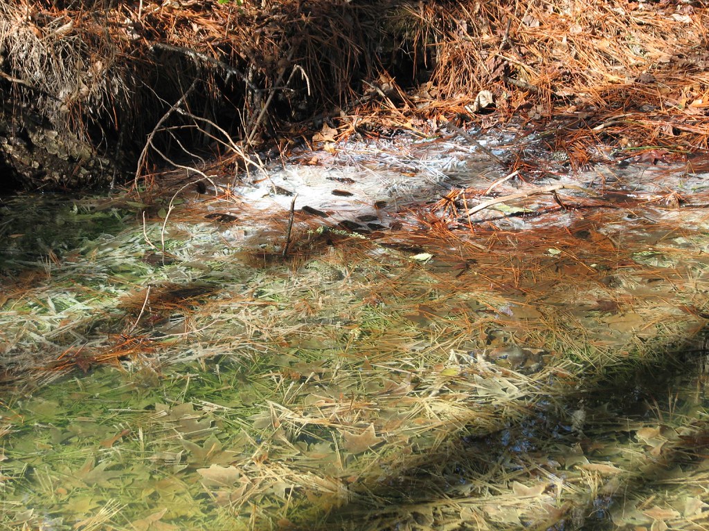 Pamlico BoardwalkHiking · ~55 min drivePhoto: bobistraveling, CC BY 2.0 (via Flickr)
 Goose Creek TrailHiking · ~56 min drivePhoto: ncwetlands.org, Public Domain Dedication (CC0) (via Flickr)
- Bird Trail D - YellowHiking · Next door
Best time to visit Cypress Swamp Trail E - Teal
Best months: September–May. Best months have typical highs of 55–85 °F, lows of 30 °F or warmer (32 °F where the station doesn't record snow), at most one snowy day and no more than 12 wet days.
Jan
56° / 35°
8 wet
Feb
60° / 37°
8 wet
Mar
67° / 42°
8 wet
Apr
75° / 51°
8 wet
May
82° / 59°
8 wet
Jun
88° / 68°
9 wet
Jul
91° / 71°
11 wet
Aug
89° / 70°
10 wet
Sep
84° / 64°
8 wet
Oct
76° / 53°
7 wet
Nov
67° / 44°
7 wet
Dec
59° / 38°
8 wet
Typical high / low (°F) and days with rain or snow, 1991–2020. Measured at Kinston Ag Rsch, NC, 10.9 mi away at 60 ft. Source: NOAA NCEI U.S. Climate Normals 1991–2020.
Map and trail data © OpenStreetMap contributors
